
Construction Setting Out
We transfer approved design geometry and levels onto the ground so the site team can build from the required position and elevation.
Put the approved design onto the site
We work from the supplied approved design and project control to set out the points, lines, levels and geometry required for construction.
The setting-out scope is organised around the construction stage so the site team receives the information needed when the work is ready to build.
Where this is used
Common applications within construction, earthworks, development and survey workflows.
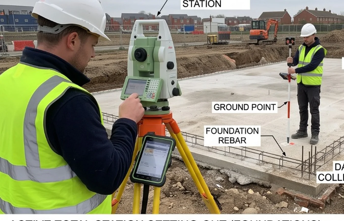
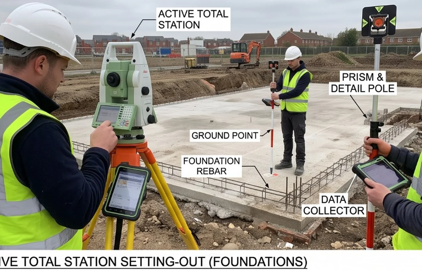
Foundations & structures
Gridlines, corners, pile positions and structural references.
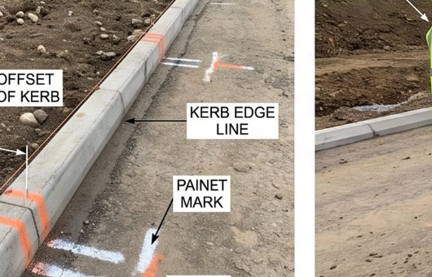
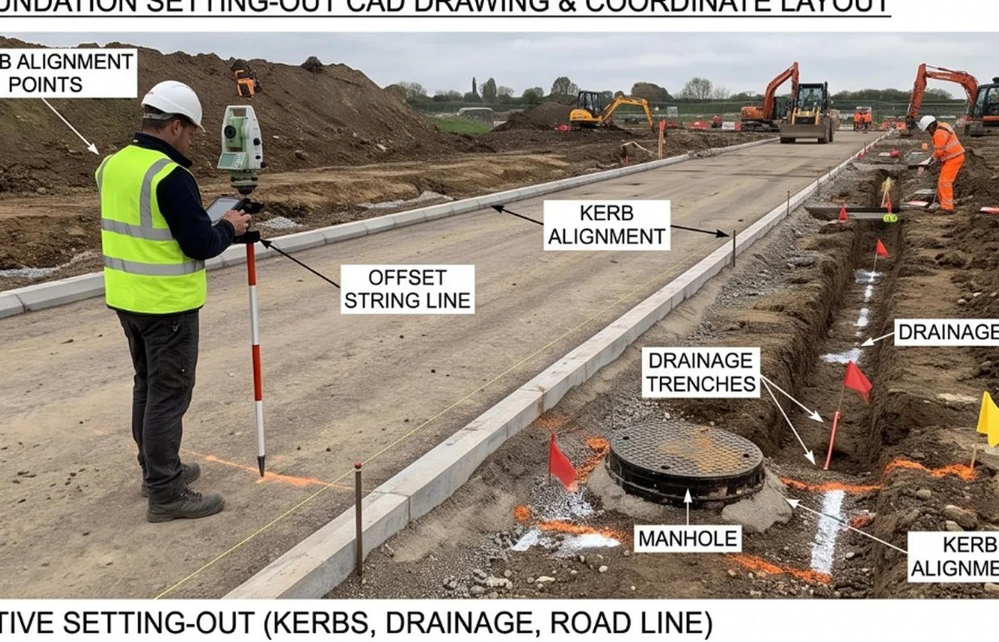
Roads & kerbs
Alignments, levels, channels and external-work geometry.
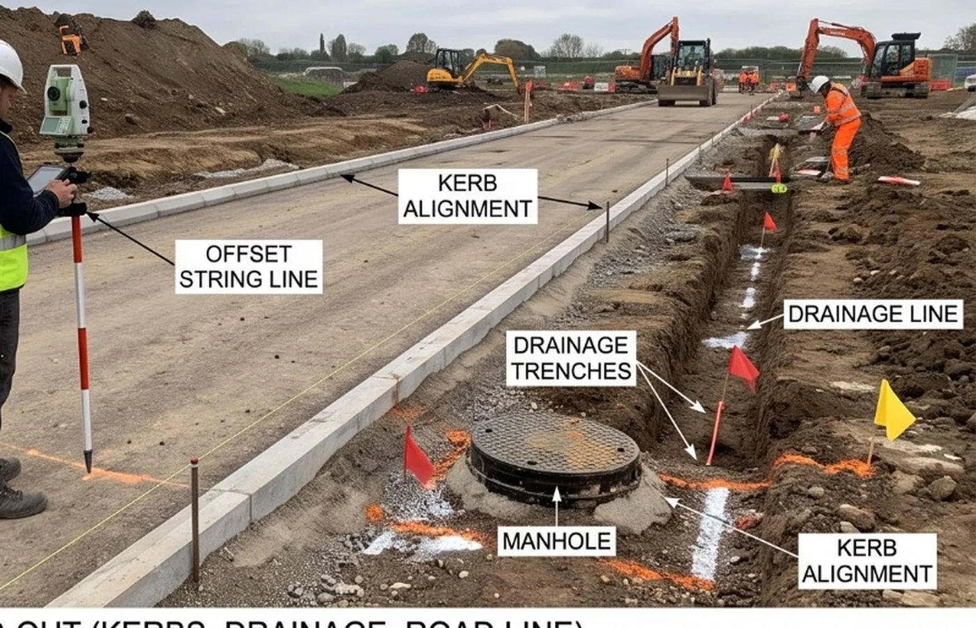
Drainage
Manholes, pipelines, chambers and invert/level references.
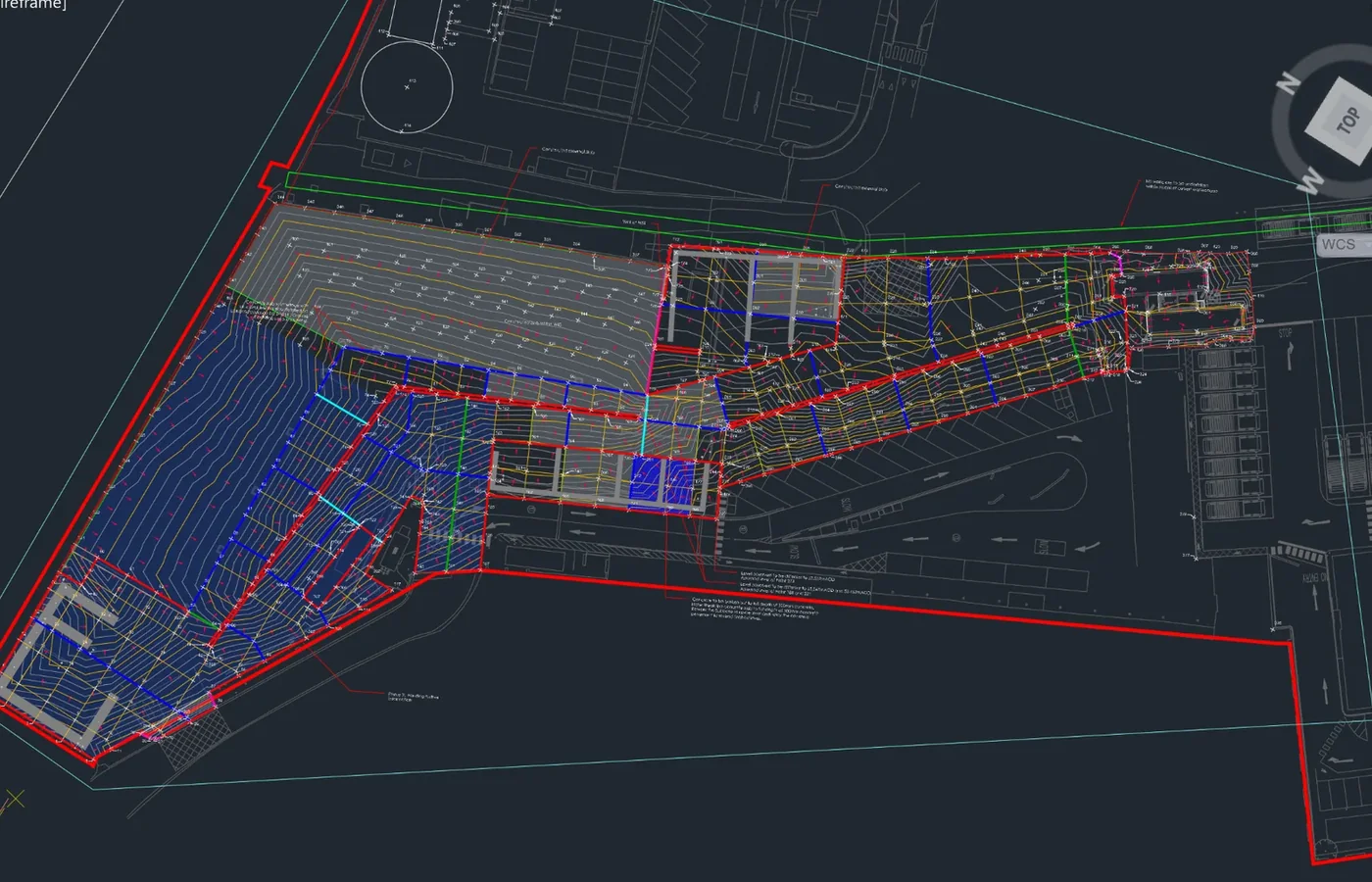
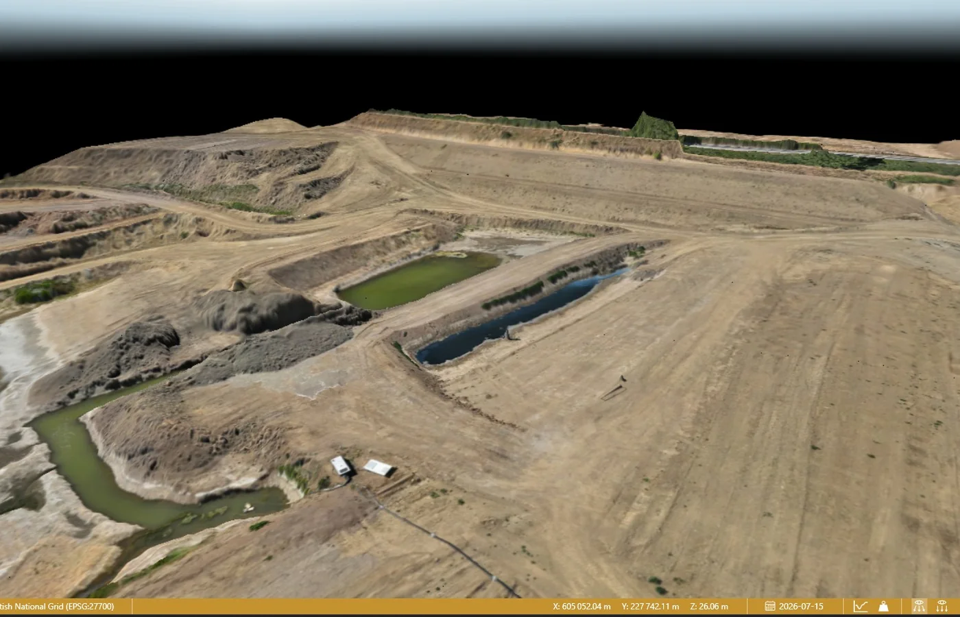
Earthworks & platforms
Formation, slope, platform and selected level references.
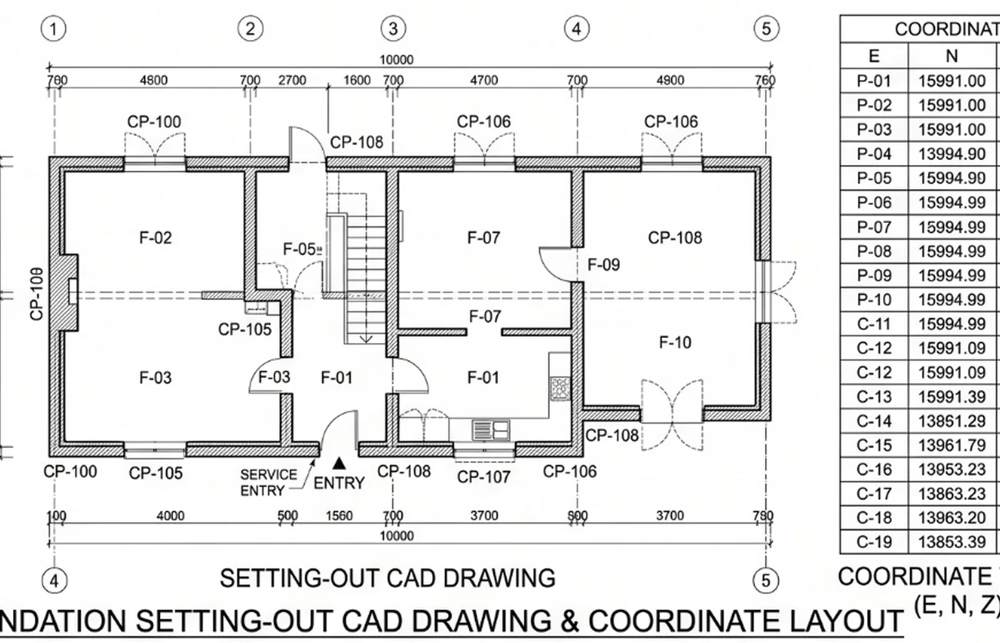
What you receive
How we deliver it
We plan the sequence around the project brief, programme and required deliverables.
Confirm design revision
Use the approved project drawing/model and current setting-out information.
Check control
Confirm the project coordinate and level framework.
Prepare geometry
Calculate the coordinates, levels, offsets and references required.
Set out
Mark the instructed construction geometry on site.
Check
Carry out suitable independent observations and close-out checks.
Record
Issue coordinates, sketches or survey records where required.
Construction Setting Out FAQ
What can be set out on a construction project?
Typical work includes gridlines, foundations, roads, kerbs, drainage, manholes, structures, levels, platforms and other approved geometry within the instructed scope.
What information is needed before setting out?
Current approved design information, project control, coordinate/level data and clear identification of the elements or construction stage to be set out.
Tell us what you need for Construction Setting Out.
Send the site location, drawings, specification or a short description of the work. We’ll review what needs surveying and the project information your team needs back.