
Aerial Mapping & Orthomosaics
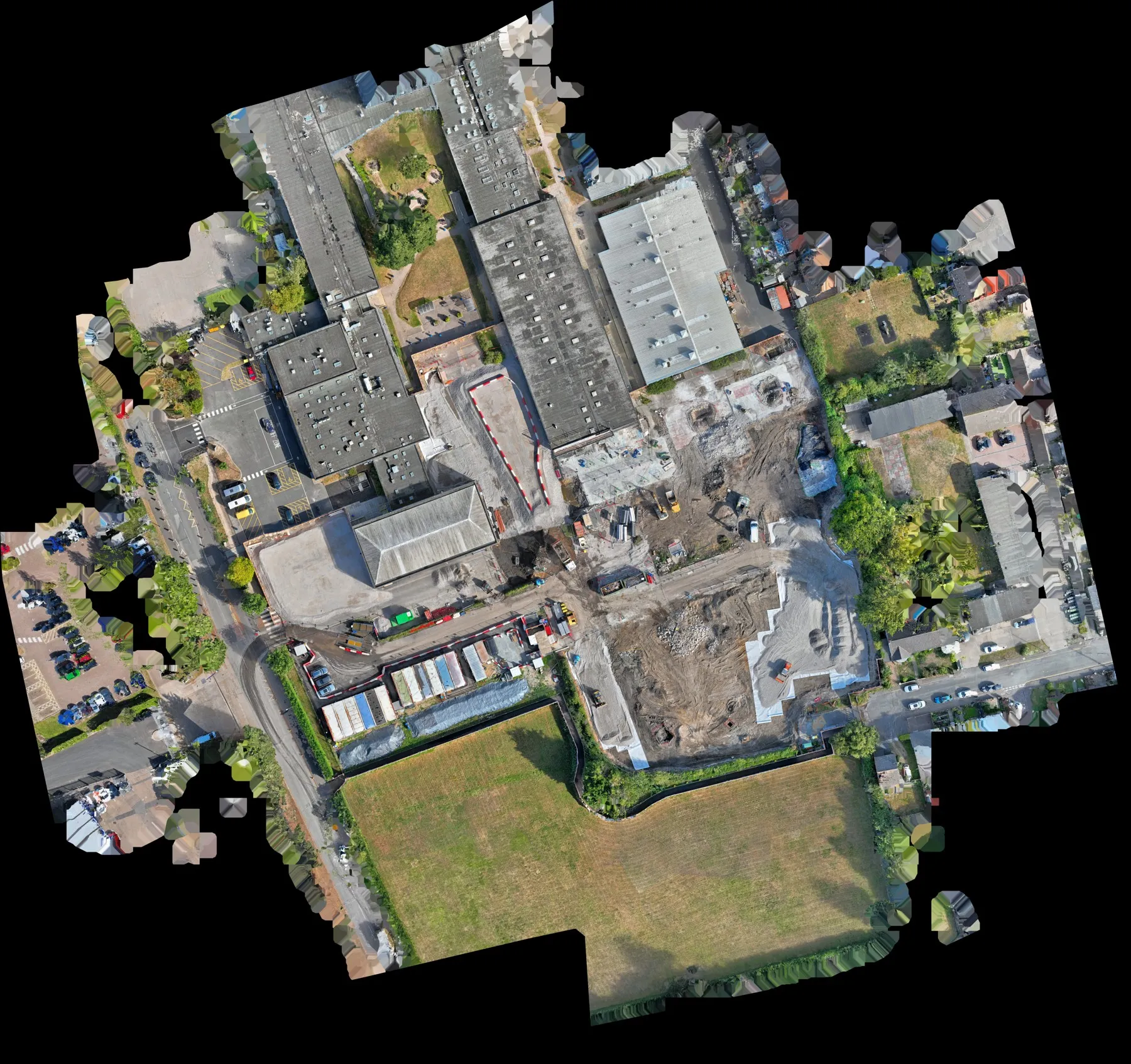
We produce current georeferenced plan-view mapping that gives the project team a measurable visual record of the site.
A current measurable plan view of the site
We process overlapping aerial imagery into a georeferenced orthomosaic covering the mapped project area.
The result provides current plan-view site context for project review, records, measurements and use alongside compatible survey, CAD and GIS information.
Aerial Mapping & Orthomosaics is the output-led mapping service. Broader aerial survey commissions requiring terrain, quantities, point clouds or multiple survey outputs sit within Drone Surveying & Mapping.
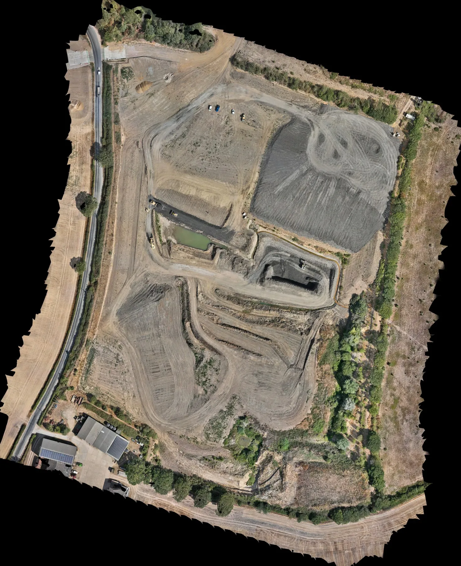
Where this is used
Common applications within construction, earthworks, development and survey workflows.
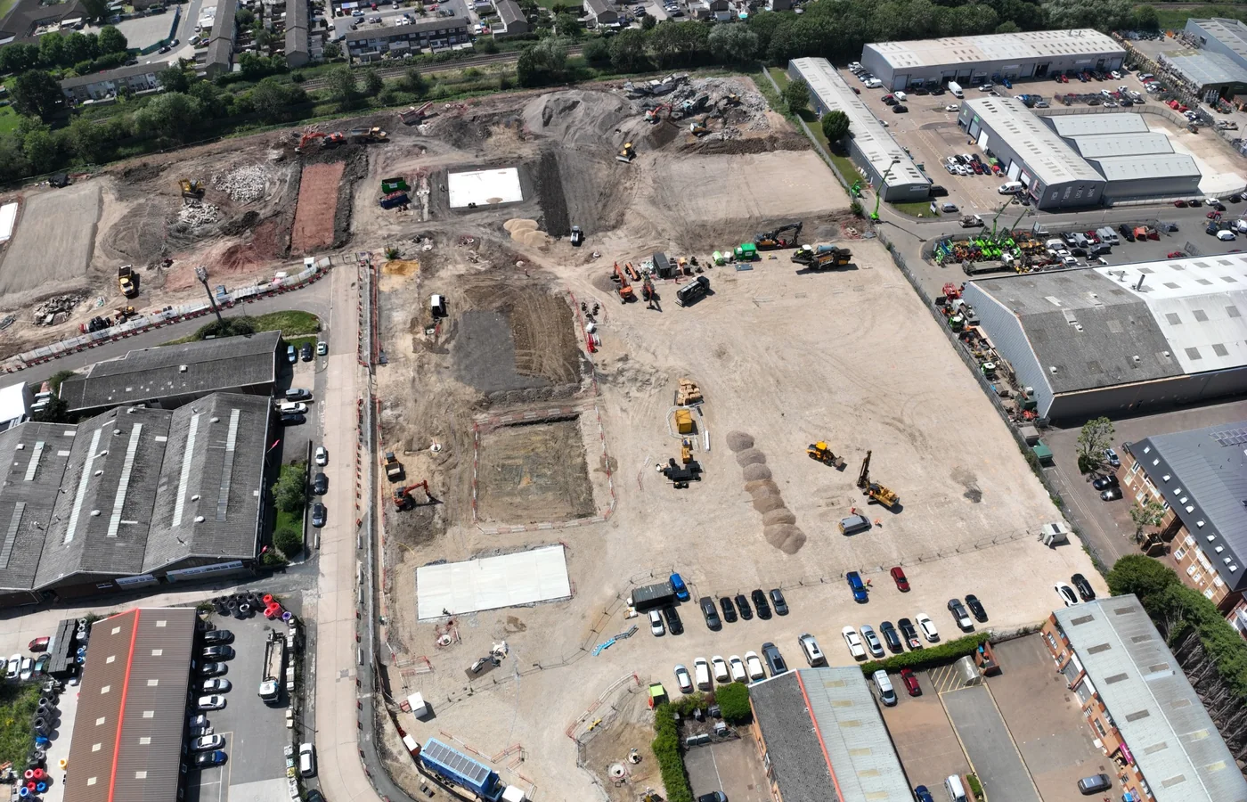
Construction sites
Current measurable plan imagery for project review and progress.
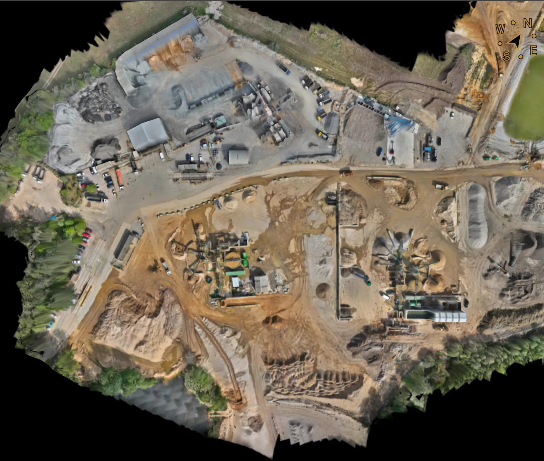
Quarries & aggregates
Site-wide mapping of operational areas, stockpiles and access routes.
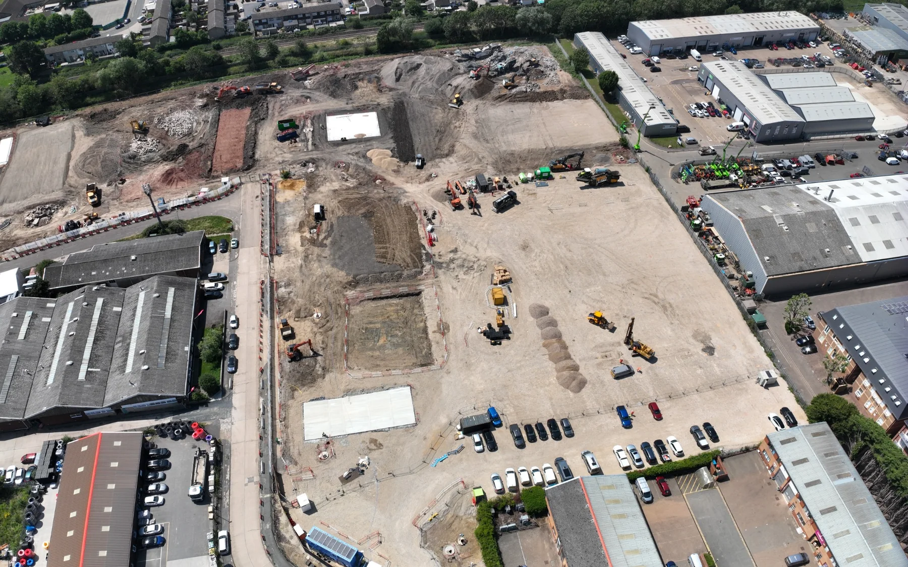
Development land
Current aerial mapping for site context and design coordination.
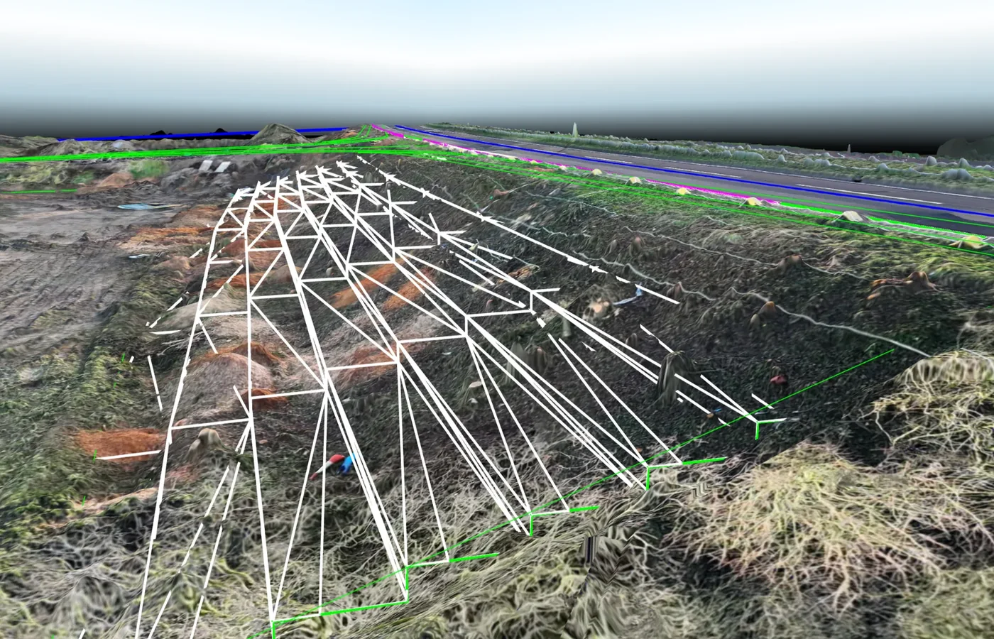
CAD overlay
Combine georeferenced imagery with survey and design information.
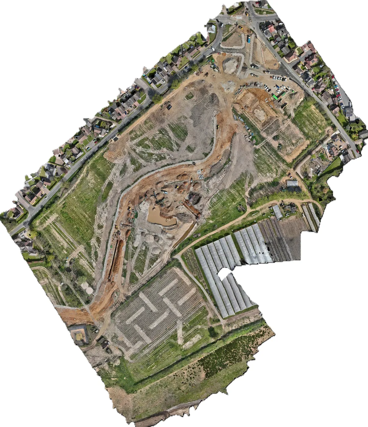
What you receive
How we deliver it
We plan the sequence around the project brief, programme and required deliverables.
Define area
Confirm mapping boundary, coordinate framework and required output resolution.
Plan capture
Review flight, control, access and site conditions.
Capture imagery
Acquire systematic overlapping aerial images.
Process mapping
Generate the georeferenced orthomosaic.
Check
Review control, alignment and mapped extents.
Deliver
Issue GeoTIFF, PDF or other agreed mapping formats.
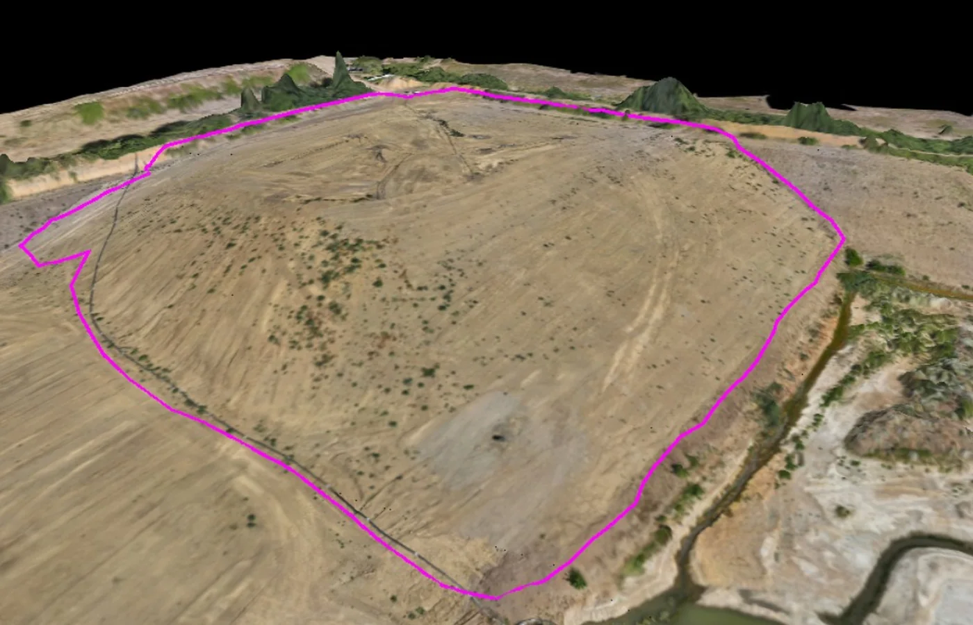
Aerial Mapping & Orthomosaics FAQ
What is an orthomosaic?
An orthomosaic is a georeferenced image created from many overlapping aerial photographs that have been processed into a consistent plan view.
Can aerial mapping be overlaid with CAD?
Yes. Where coordinate systems are compatible, georeferenced mapping can be viewed alongside survey and design drawings.
Is aerial mapping the same as a topographical survey?
No. Aerial mapping is an image-based spatial product. It can form part of a wider topographical survey where the brief requires interpreted survey features, levels, terrain data or other deliverables.
Tell us what you need for Aerial Mapping & Orthomosaics.
Send the site location, drawings, specification or a short description of the work. We’ll review what needs surveying and the project information your team needs back.