
Survey services for construction, earthworks and development.
Topographical surveying, site engineering, earthworks measurement, drone mapping and digital construction services.
Surveying
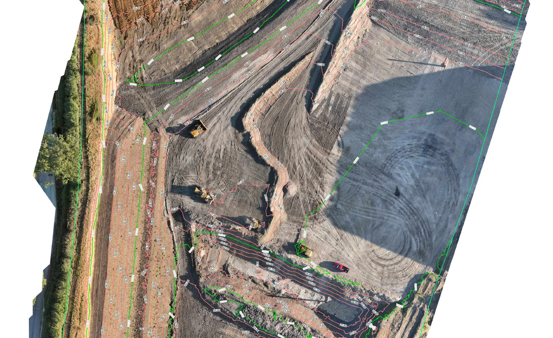
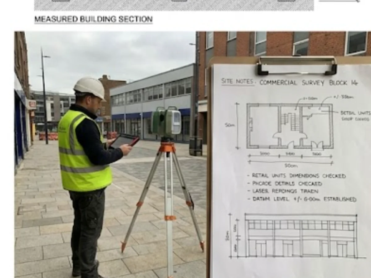
Construction & Site Engineering
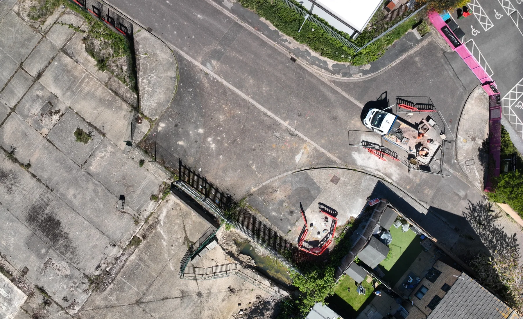
Construction Surveying
Practical survey support through control, setting out, progress measurement and verification during construction.
View service →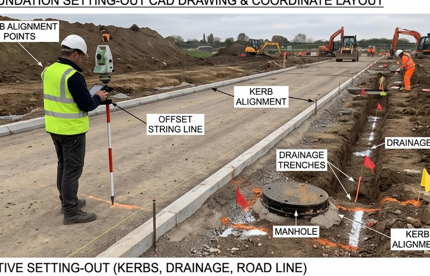
Construction Setting Out
Approved design geometry and levels transferred onto the site for construction.
View service →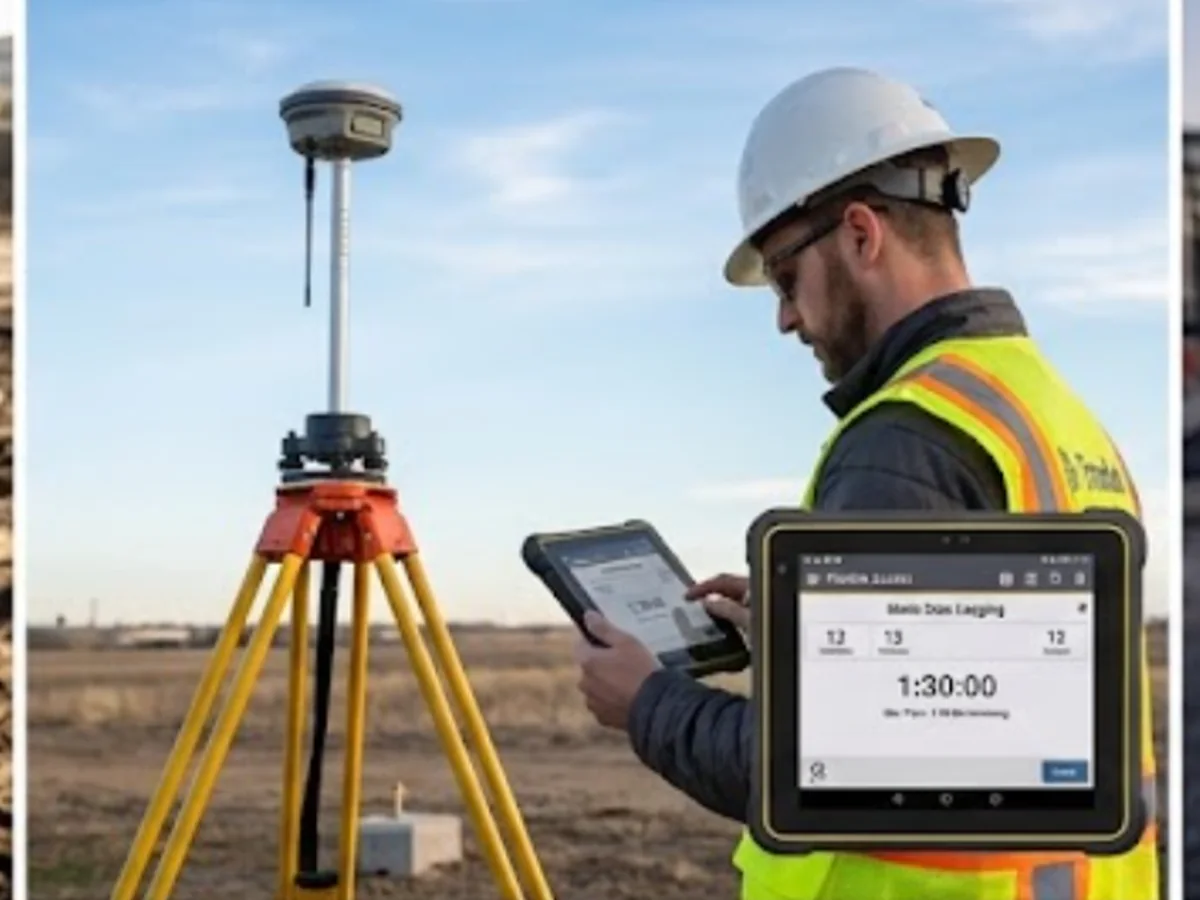
Survey Control & Site Grids
A consistent coordinate and level framework for surveying, setting out, verification and machine-control work.
View service →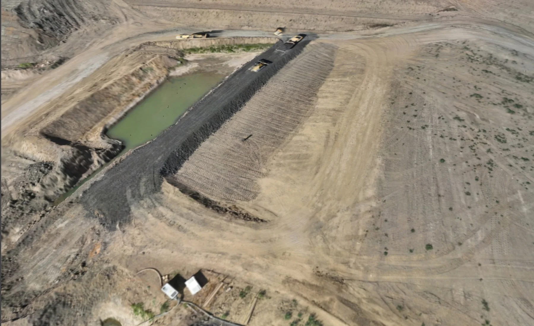
Construction Progress Surveys
Repeat surveys that record measurable site change, quantities and construction progress between agreed stages.
View service →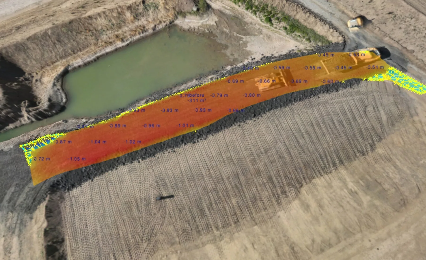
As-Built & Verification Surveys
Measured records of completed work compared with required geometry, levels or supplied design information.
View service →Earthworks & Digital Construction
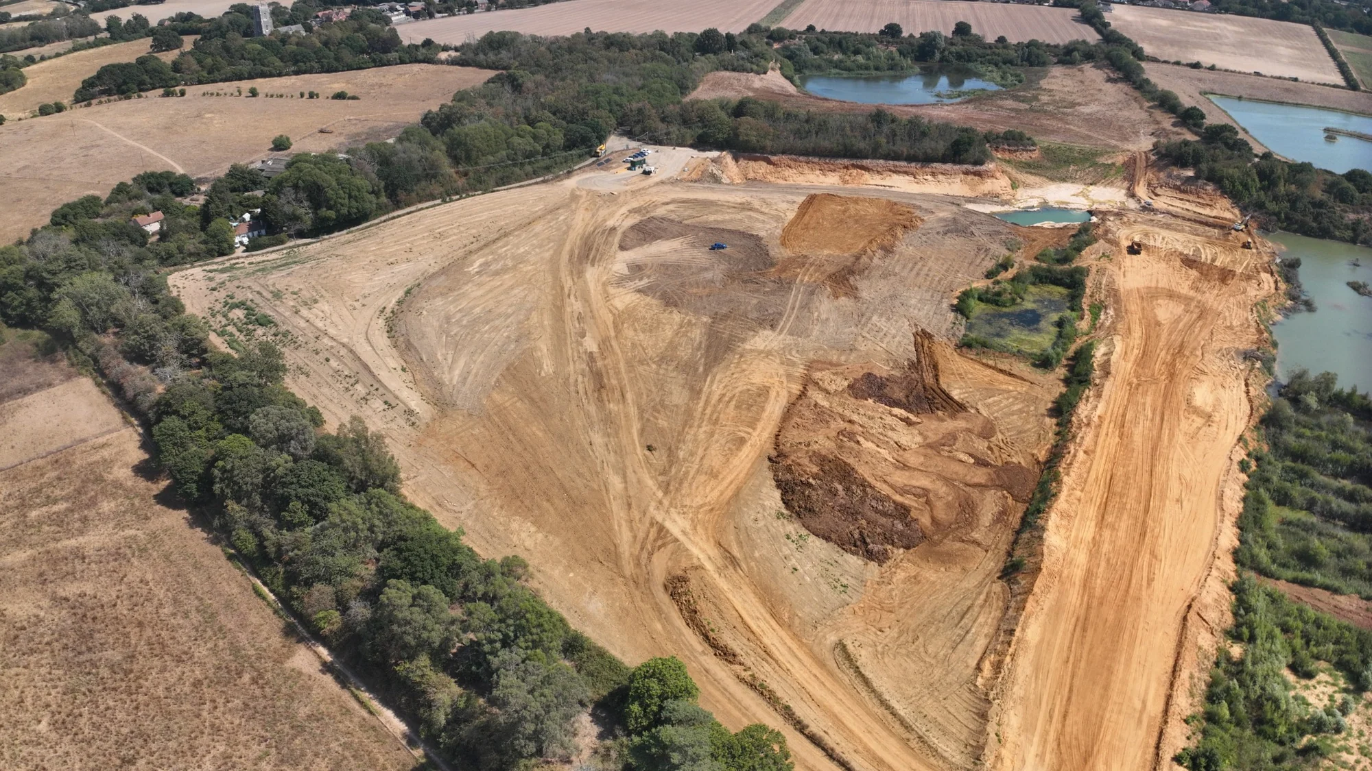
Earthworks & Volume Surveys
Current surfaces, quantities and construction records through excavation, filling and formation stages.
View service →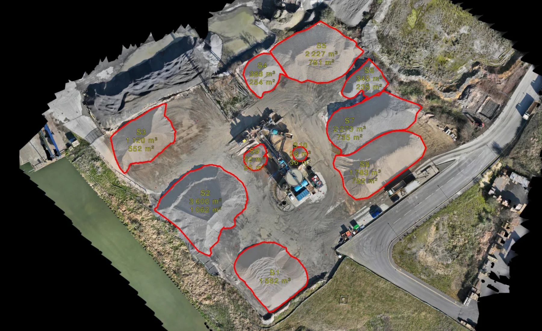
Stockpile Volume Surveys
Measured stockpile quantities for inventory, reconciliation and repeat material records.
View service →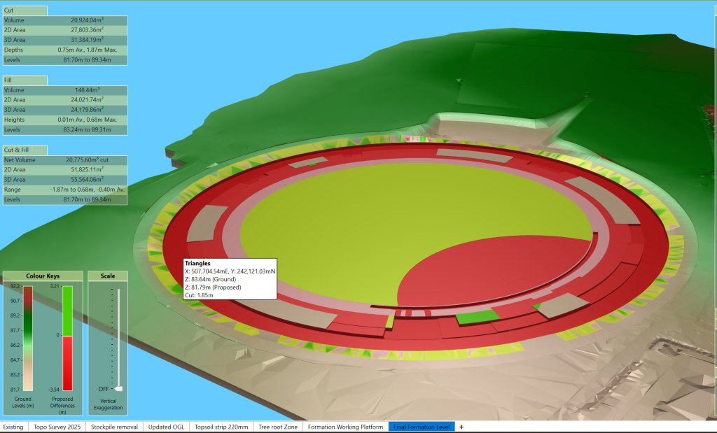
Cut & Fill Surveys
Measured cut, fill and remaining earthworks quantities from defined current and reference surfaces.
View service →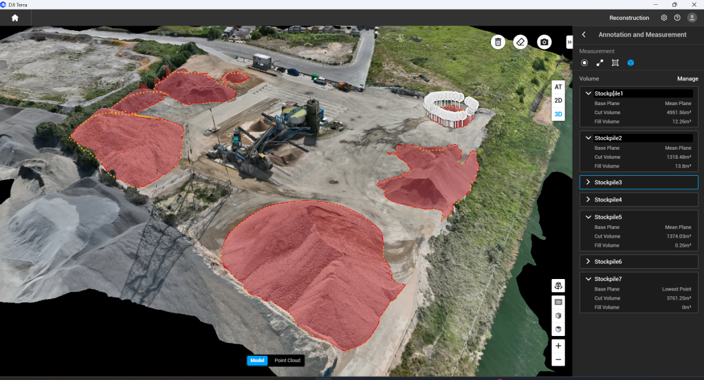
Materials Management Plan (MMP) Survey Support
Measured survey records and material-volume evidence supporting the Materials Management Plan process.
View service →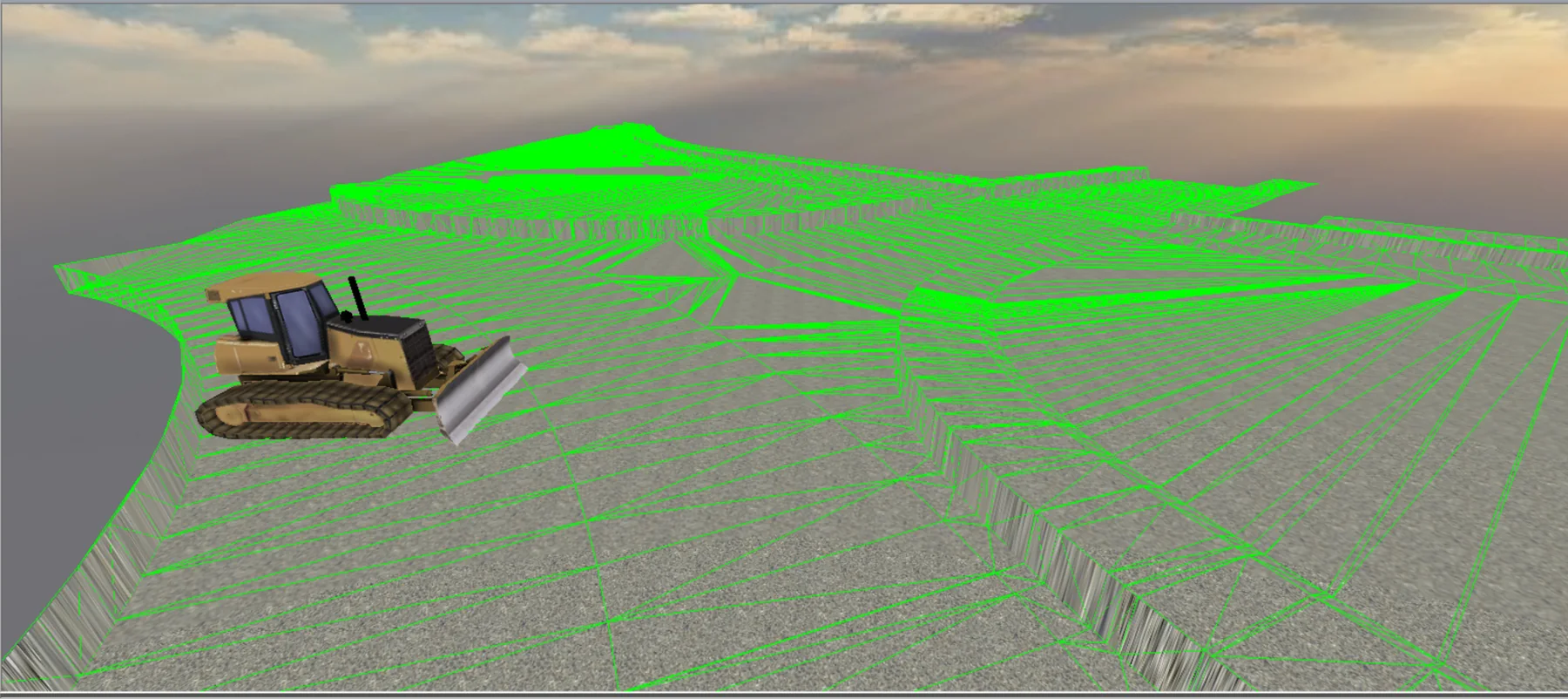
Machine Control & 3D Models
Construction-ready 3D models prepared from approved design information for compatible machine-control systems.
View service →Drone & Spatial Data
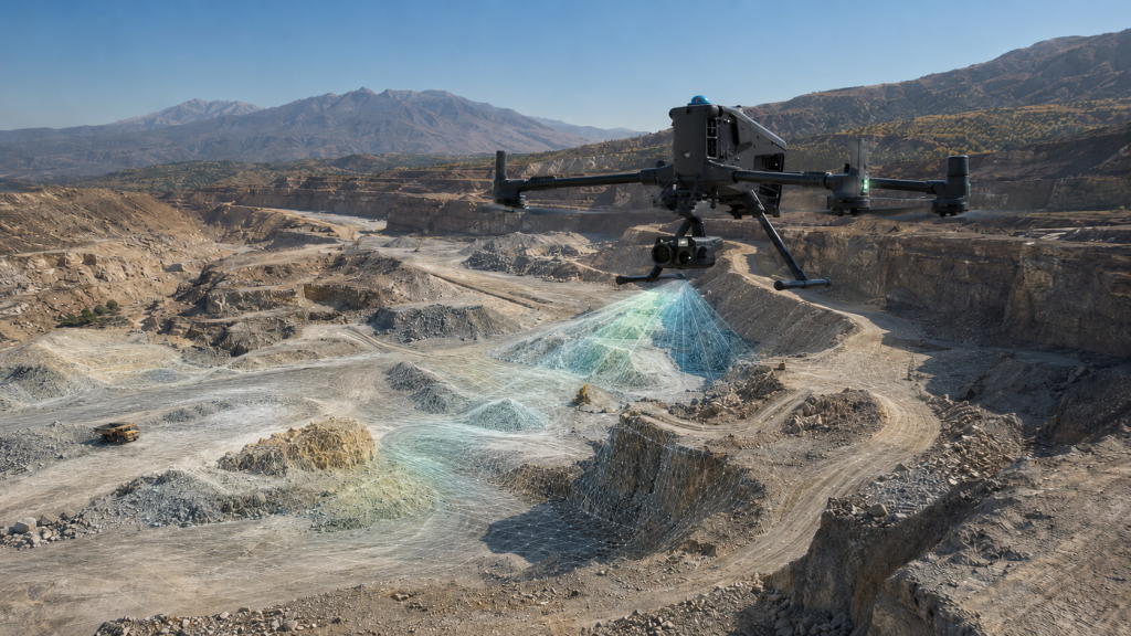
Drone Surveying & Mapping
Aerial survey capture for measurable mapping, terrain, point clouds, quantities and repeat project records.
View service →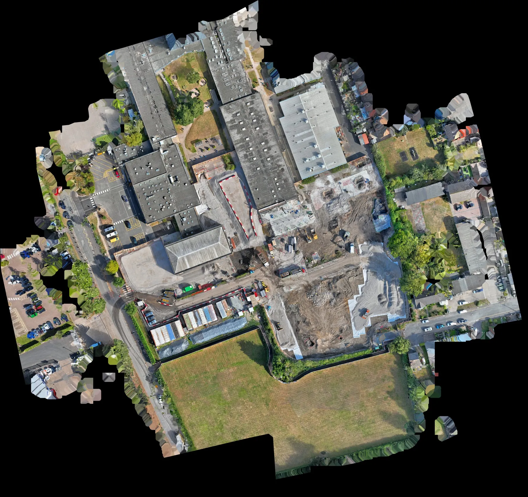
Aerial Mapping & Orthomosaics
Current georeferenced orthomosaic mapping for project review, records and CAD/GIS context.
View service →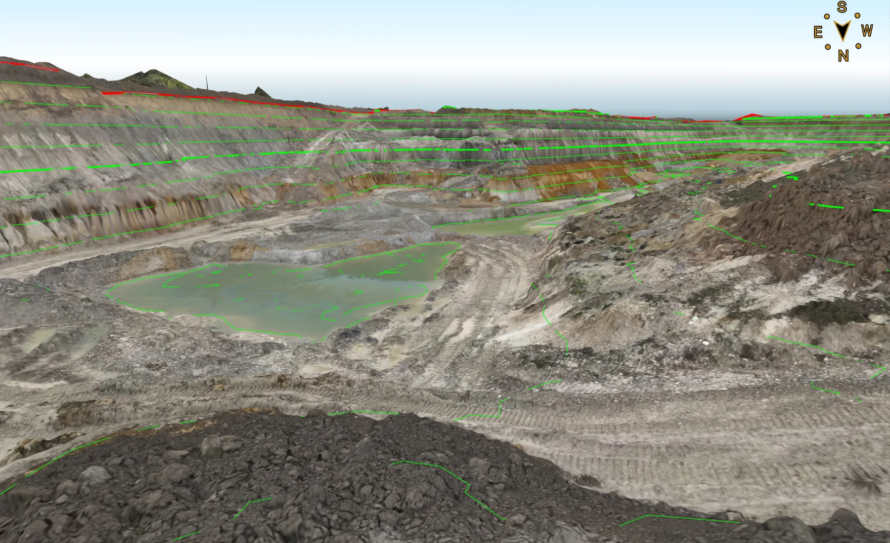
3D Site Models & Point Clouds
Measured 3D point clouds, terrain and surface data prepared for engineering, CAD and site workflows.
View service →Send the project information.
A site location, drawing, specification or short description is enough to start reviewing the survey requirement.