
Surveying questions
Practical information about topographical surveys, drone mapping, earthworks, setting out, machine control and survey deliverables.
What information should I send for a survey quotation?
Send the site location or boundary, a short description of the project requirement, any available drawings or specification, and the required programme. Existing project control or coordinate information is also useful where available.
What is a topographical survey?
A topographical survey is a coordinated spatial record of the existing site, including terrain, levels and the natural or constructed features agreed in the project brief. Deliverables can include CAD drawings, 3D linework, survey points, terrain surfaces and other project data.
Can a drone form part of a topographical survey?
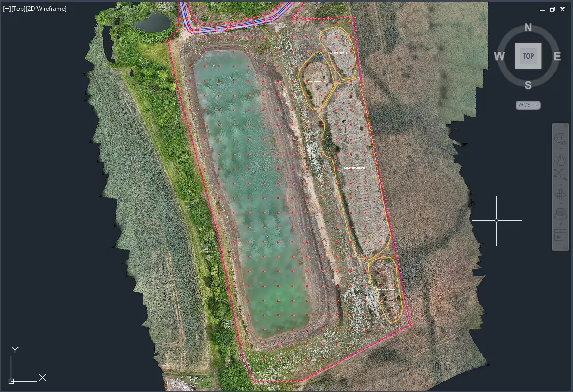
Yes. Photogrammetry can capture dense visible-surface information across suitable open areas and can be combined with GNSS or total-station observations where additional ground detail is required.
How accurate is drone surveying?
Survey performance depends on capture geometry, image quality, positioning, project control, checks, surface visibility and the required output. Accuracy requirements are defined from the intended use, site conditions and required deliverables.
How is a stockpile volume measured?
The surveyed upper surface is compared with an agreed base or reference condition inside the defined stockpile boundary. Repeat surveys can provide inventory and material-tracking records through the earthworks programme.
What is Materials Management Plan (MMP) Survey Support?
MMP survey support provides spatial and quantitative records such as baseline surveys, stockpile inventories, material zones, repeat earthworks surveys and quantity reconciliation. Formal MMP preparation, material suitability decisions and the Qualified Person declaration are outside this survey service.
What can a construction progress survey record?
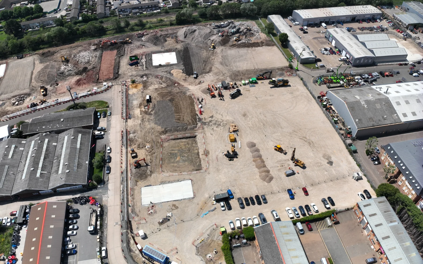
Progress surveys can record current surfaces, formation or capping stages, stockpiles, site extents, levels and other agreed construction information between defined phases or survey dates.
What data can be supplied for machine control?
Machine-control model services can provide 3D construction surfaces, boundaries, breaklines and compatible exchange data prepared from approved design information for the confirmed machine-control system.
What file formats can survey data be supplied in?
Depending on the commission, formats can include DWG, DXF, LandXML, XYZ, CSV, LAS, LAZ, E57, GeoTIFF and PDF.
Discuss your survey requirement.
Send the site location, drawings or project brief.