
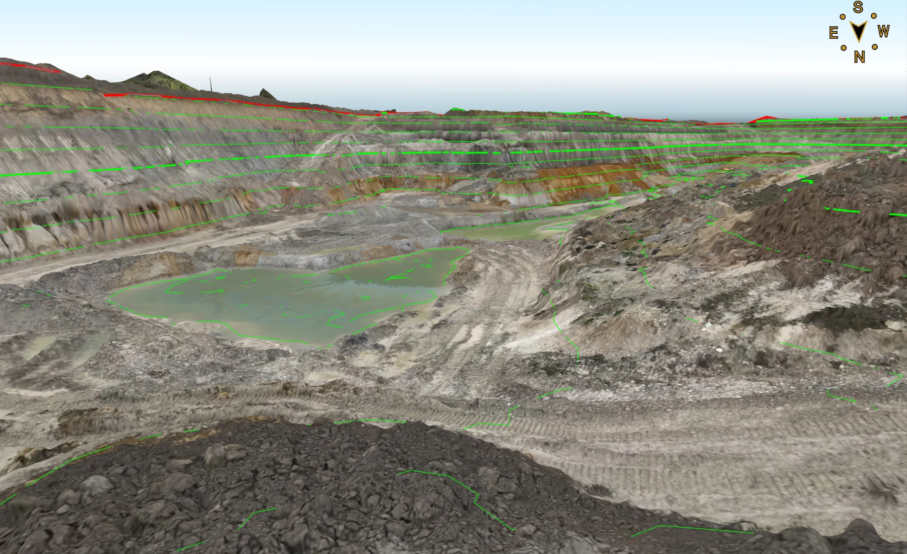
3D Site Models & Point Clouds
We turn controlled survey data into measurable point clouds, terrain and surface models for engineering workflows.
Turn survey capture into working 3D data
We process controlled survey capture into dense 3D spatial data representing the visible site surface.
Depending on the project requirement, the data is prepared for measurement, surface extraction, visualisation, CAD coordination and downstream engineering workflows.
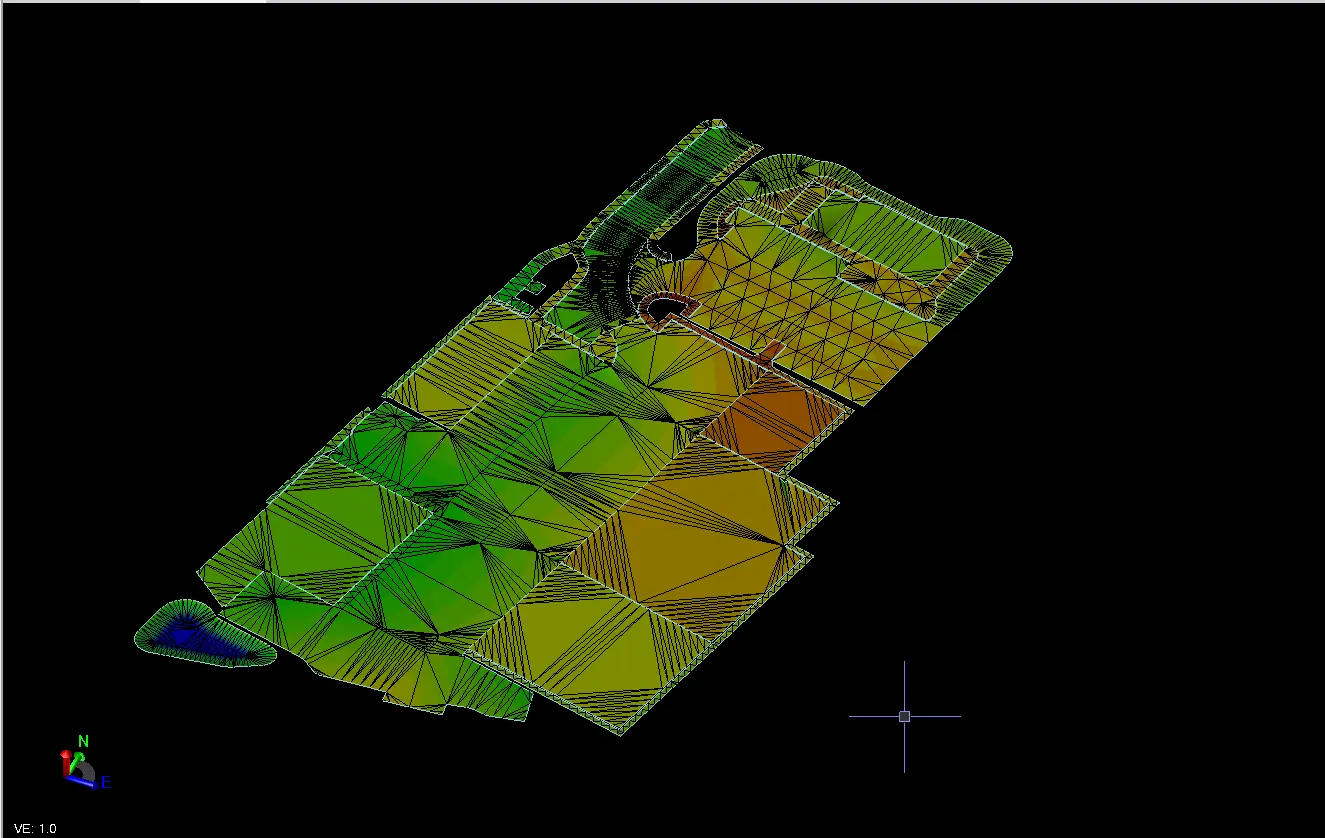
Where this is used
Common applications within construction, earthworks, development and survey workflows.
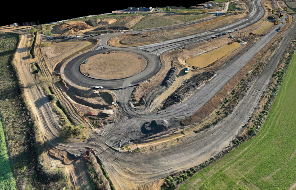
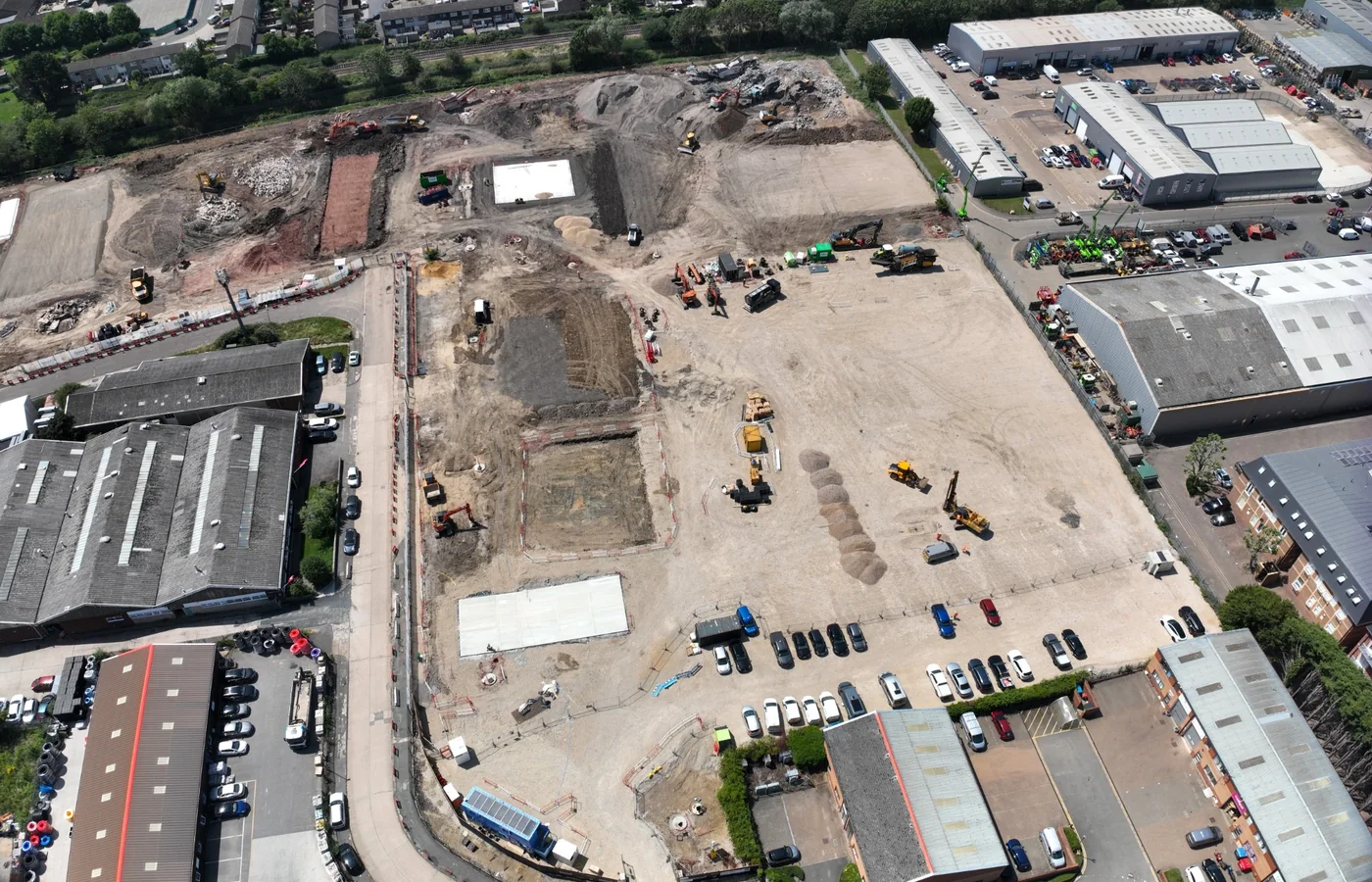
Construction sites
3D spatial record of current visible site conditions.
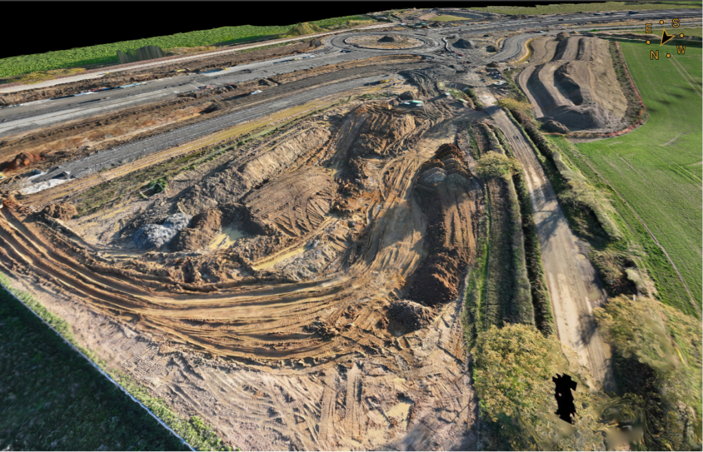
Earthworks terrain
Surface information for terrain and quantity workflows.
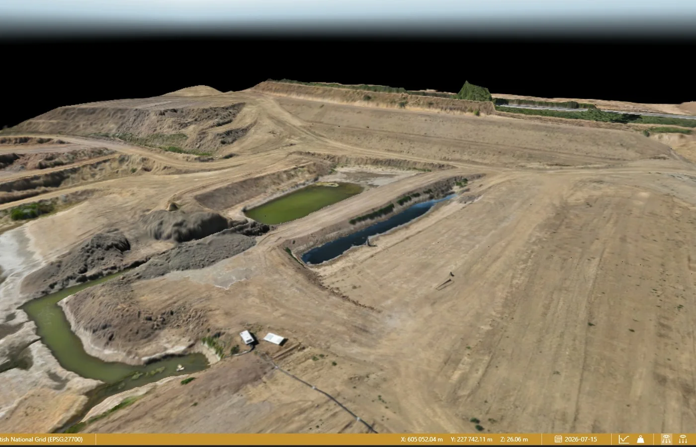
Site visualisation
Inspect the project condition in a 3D environment.
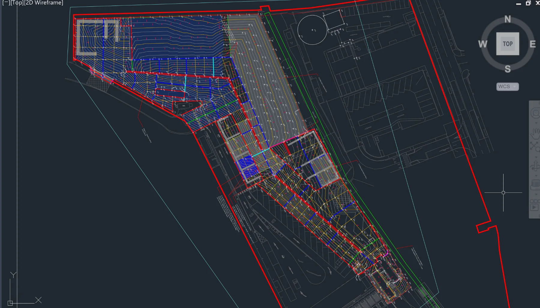
CAD / engineering use
Transfer appropriate spatial data into compatible downstream workflows.
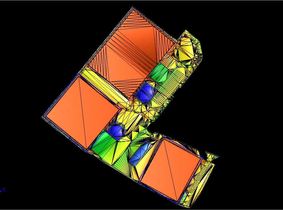
What you receive
How we deliver it
We plan the sequence around the project brief, programme and required deliverables.
Define use
Confirm the 3D data, accuracy, extent and downstream workflow required.
Capture
Acquire controlled overlapping aerial imagery.
Process
Generate point-cloud, mesh and related spatial datasets.
Review
Check control, coverage, visibility and model quality.
Extract data
Prepare terrain or interpreted information where required.
Deliver
Issue agreed 3D formats and supporting project data.
3D Site Models & Point Clouds FAQ
Is a photogrammetric point cloud LiDAR?
No. A photogrammetric point cloud is generated from overlapping camera imagery. LiDAR is a different acquisition technology.
What can a 3D site model be used for?
Typical uses include visualisation, measurement, terrain processing, surface extraction, site records and supporting CAD or engineering workflows.
What file formats can be supplied?
Depending on the workflow, point-cloud and spatial data can be supplied in formats such as LAS, LAZ, E57, LandXML, XYZ, DWG or other agreed compatible formats.
Tell us what you need for 3D Site Models & Point Clouds.
Send the site location, drawings, specification or a short description of the work. We’ll review what needs surveying and the project information your team needs back.