
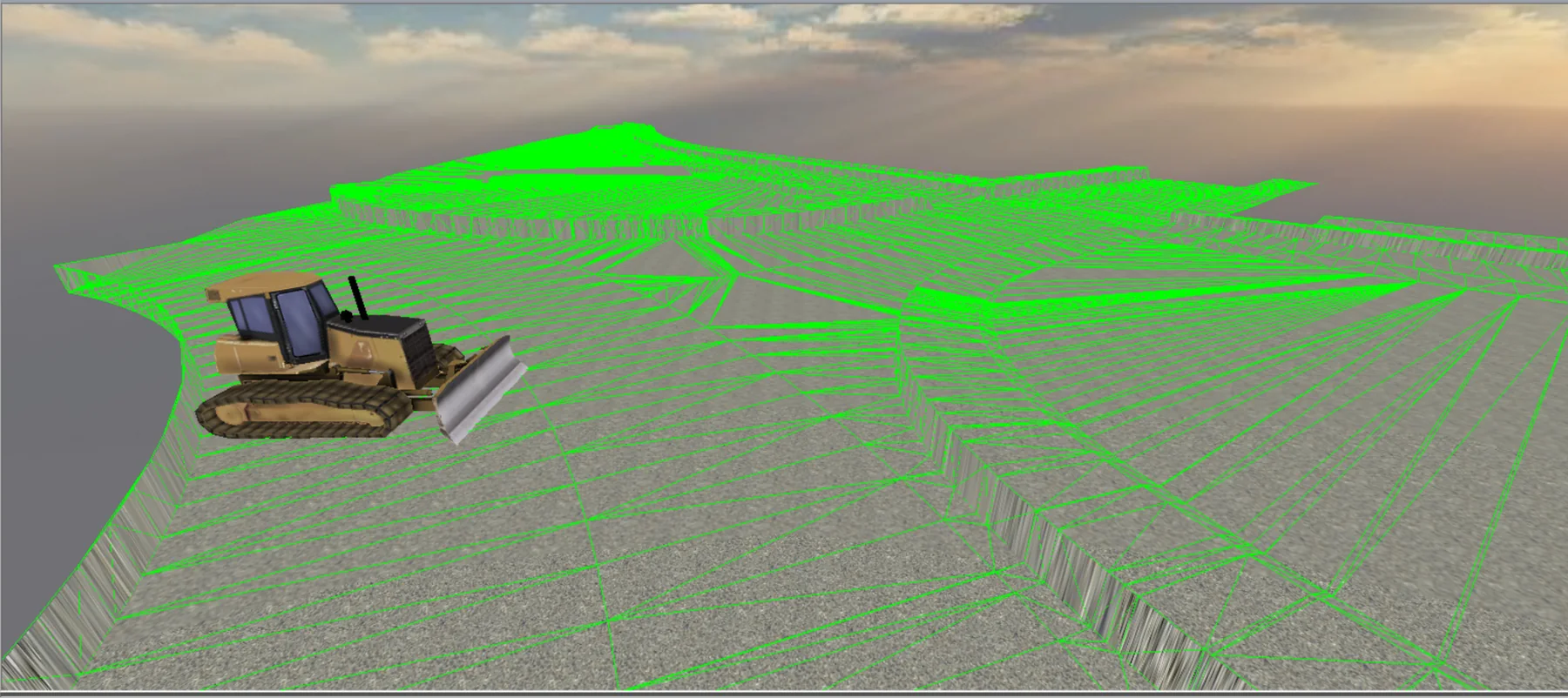
Machine Control & 3D Models
We prepare construction-ready 3D models from approved design information for compatible machine-control systems.
3D models prepared for the machine workflow
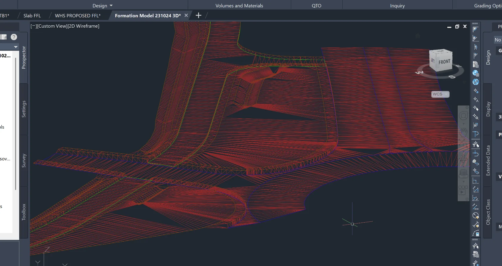
We turn approved construction design information into controlled 3D model data for compatible machine-control systems used on dozers, excavators and other earthmoving plant.
The model is prepared around the construction stage and receiving workflow, with the surfaces, linework and guidance geometry required to work from the approved design.
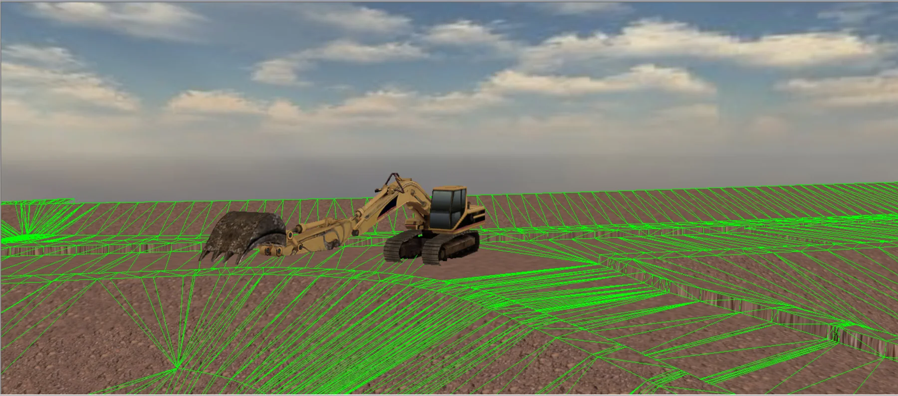
Where this is used
Common applications within construction, earthworks, development and survey workflows.
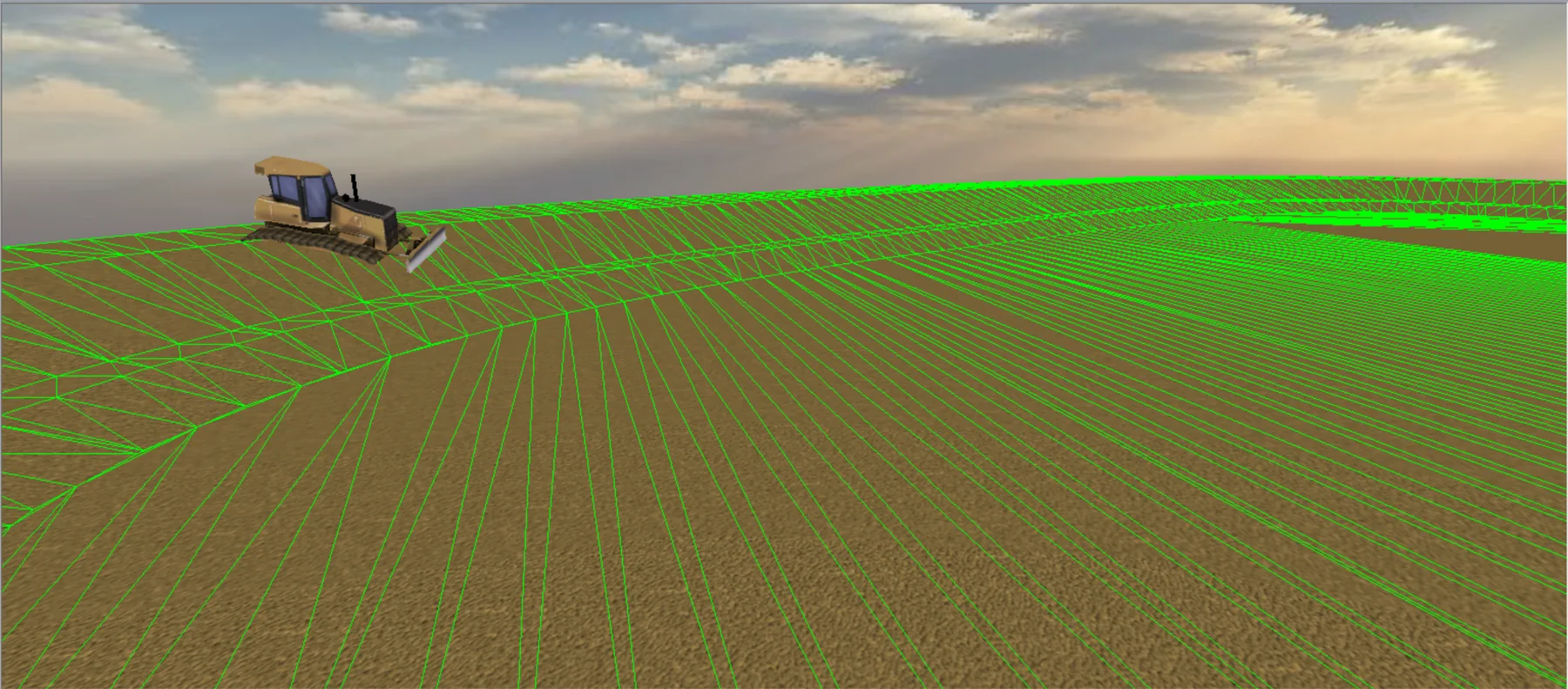
Bulk earthworks & cut/fill
Existing/proposed earthworks and phased excavation/fill models.
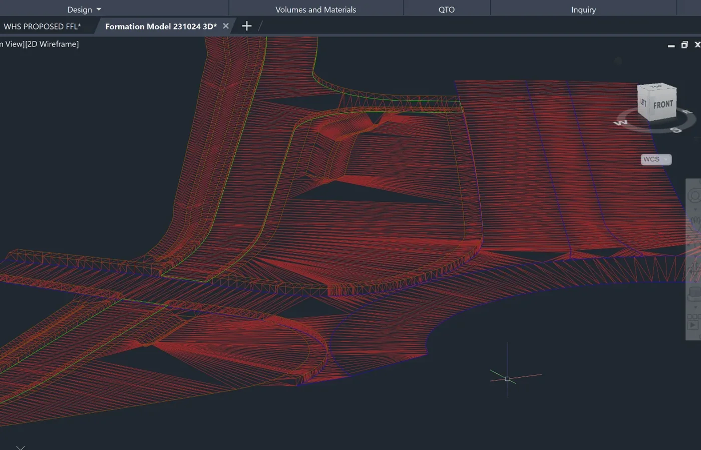
Formation & subgrade
Construction surfaces derived from approved formation geometry or defined build-ups.
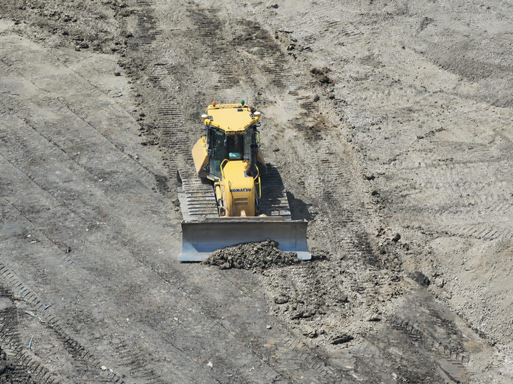
Roads & platforms
Road, haul-road, hardstanding, pad and platform models.
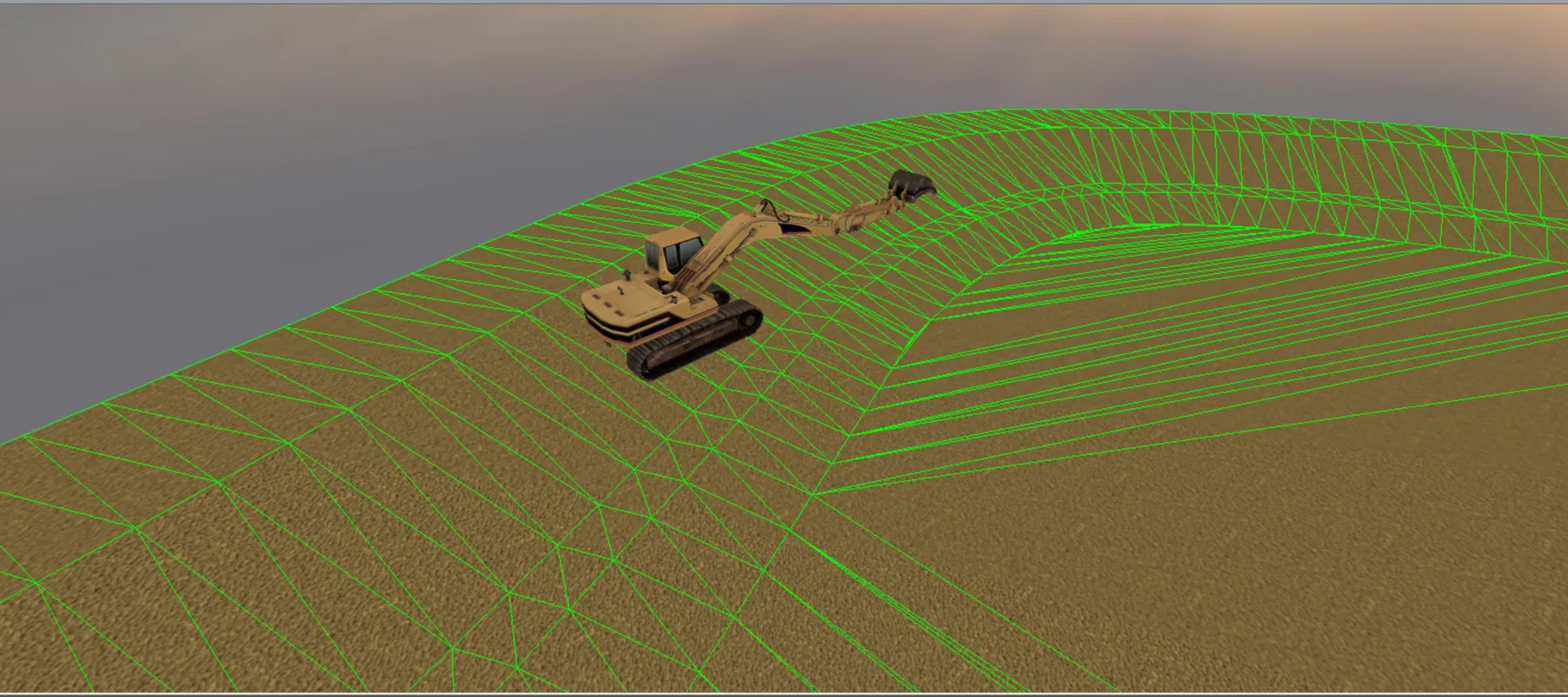
Excavations & basins
Excavation bases, batters, ponds, foundations and shaped earthworks.
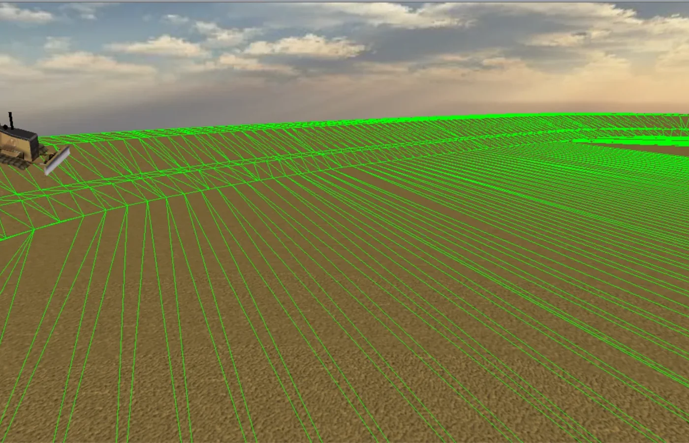
Slopes & embankments
3D slope and embankment geometry for guided grading.
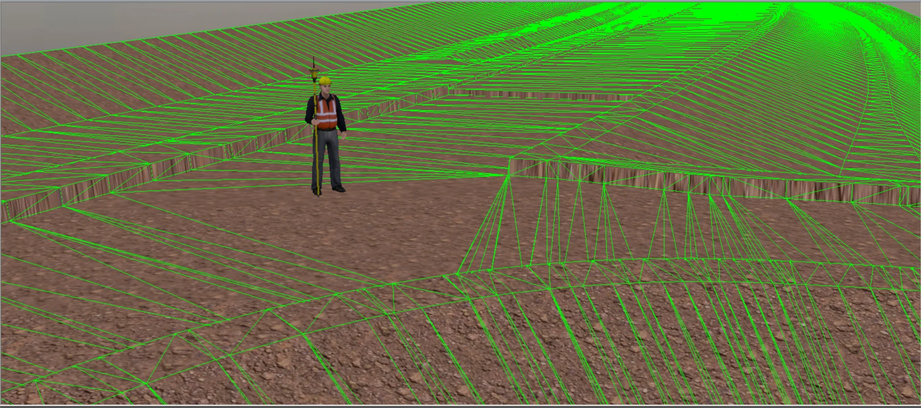
Model revisions
Update affected surfaces and reissue controlled files when approved design changes.
What you receive
Compatible workflows may include: Autodesk Civil 3D · Trimble Business Center · LSS · Topcon 3D Office / compatible workflows.
How we deliver it
We plan the sequence around the project brief, programme and required deliverables.
Project review
Confirm plant, machine-control system, project grid, approved design and required construction stage.
Source design audit
Review 3D geometry, levels, surfaces, alignments, build-ups, offsets and revisions.
Model creation
Build the required construction surfaces and guidance geometry.
Quality assurance
Check levels, coordinates, breaklines, triangles, limits, transitions and model continuity.
Export & integration
Prepare files for the confirmed machine-control system and project workflow.
Revision support
Update model issues as approved design changes are released.
Receiving systems
The model export and file structure are prepared around the confirmed machine-control workflow.
Trimble
Model preparation around confirmed Trimble machine-control workflows and project file requirements.
Topcon
Model preparation around confirmed Topcon machine-control workflows and compatible 3D Office/site formats.
Other systems
Receiving requirements are reviewed where the required format and project workflow are clearly defined.
Project evidence
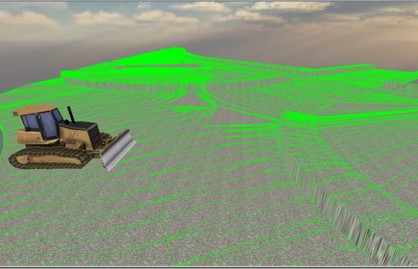
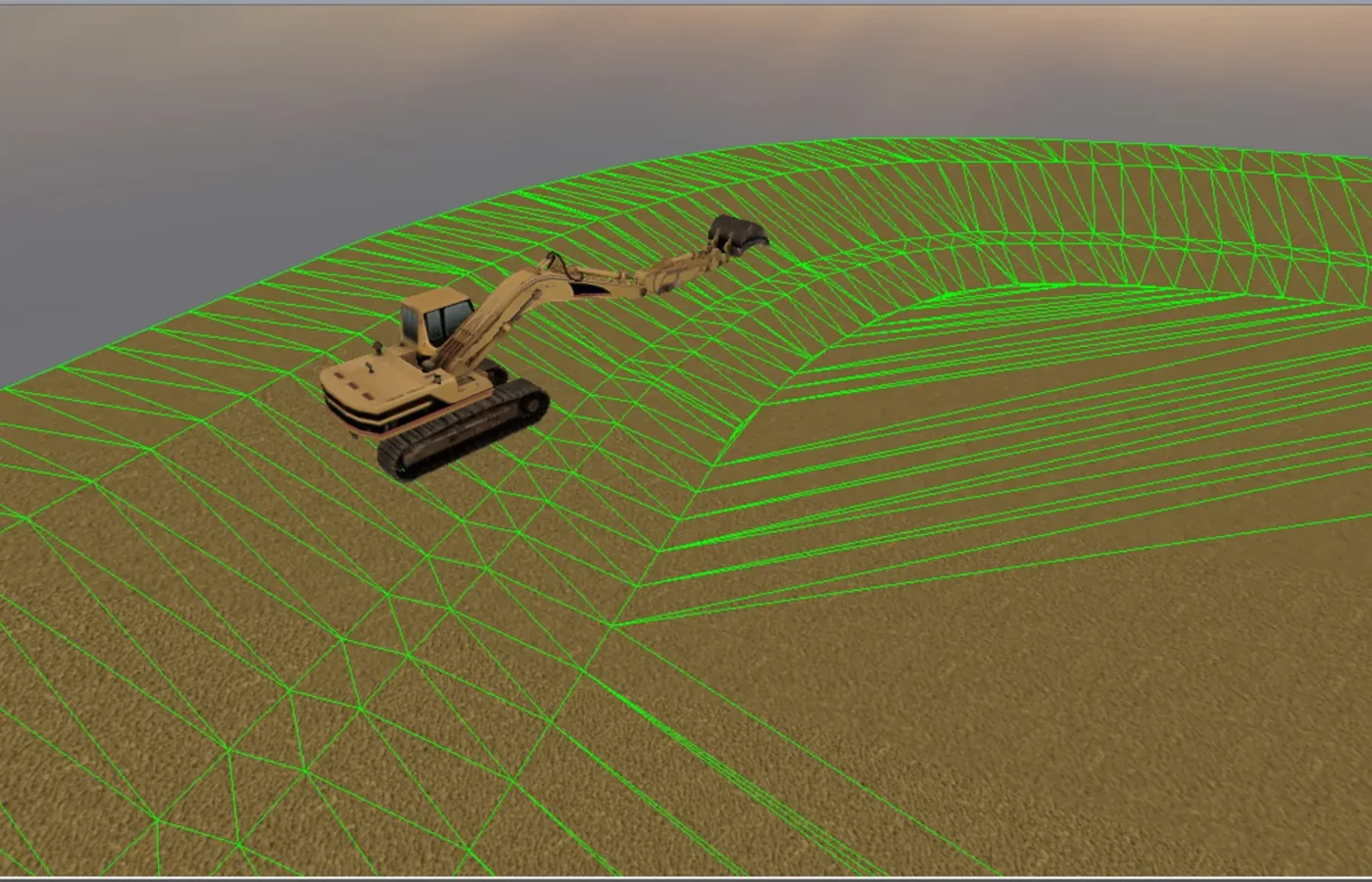
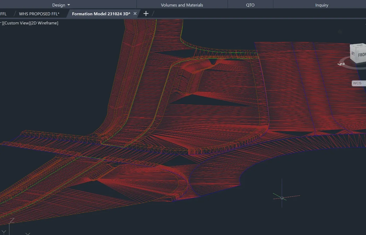
Selected project data and model outputs.
Machine Control & 3D Models FAQ
What types of machine-control models can you create?
Typical work includes bulk earthworks, cut/fill, formation, subgrade, finished surfaces, roads, platforms, excavations, ponds/basins, slopes and phased construction surfaces.
What information is needed to create a model?
Original 3D design data is preferred, together with the project coordinate and level framework, current approved revisions and any confirmed build-up depths or construction offsets required to derive lower surfaces.
Can models be updated when the design changes?
Yes. Revised approved geometry can be reviewed, affected model areas rebuilt and a new controlled issue prepared for the confirmed machine-control workflow.
Does machine control remove the need for survey checks?
Project control, machine calibration and independent survey checks remain important, particularly at critical levels, interfaces and before work is covered or handed over.
Tell us what you need for Machine Control & 3D Models.
Send the site location, drawings, specification or a short description of the work. We’ll review what needs surveying and the project information your team needs back.