
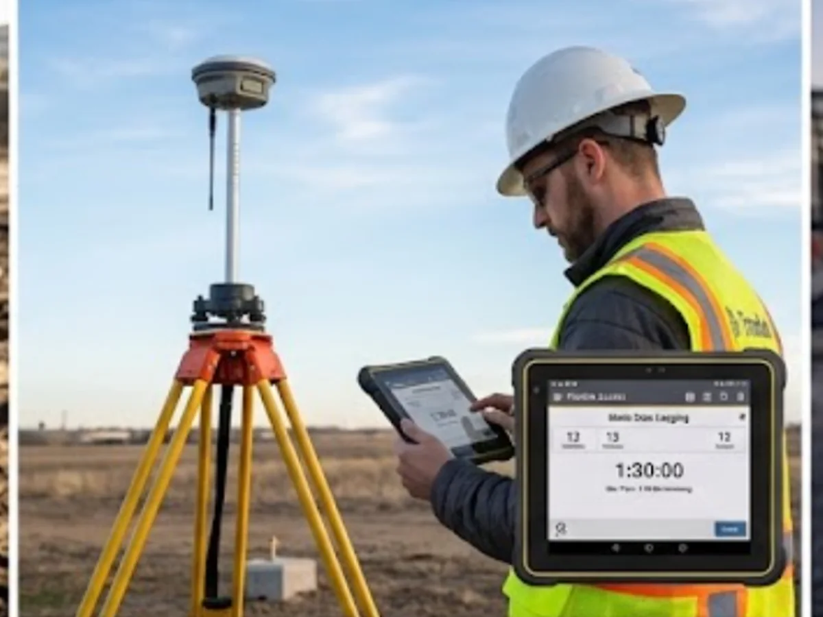
Survey Control & Site Grids
We establish and maintain the control framework that keeps surveying, setting out, verification and machine-control work on the same coordinates and levels.
Keep every survey working from the same framework
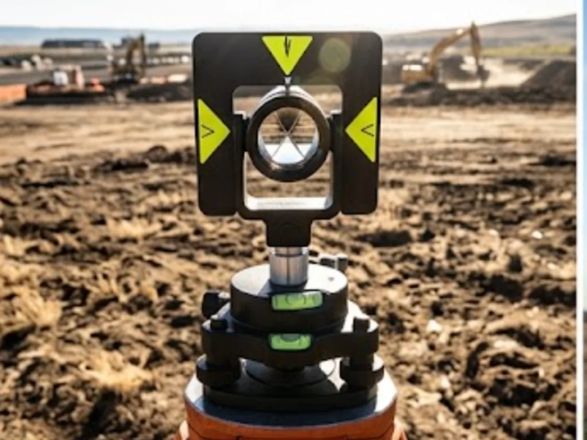
Survey control is the spatial reference behind the rest of the project survey work.
We establish, extend and check control around the required coordinate and level system so field surveys, construction setting out and digital workflows can be related consistently.
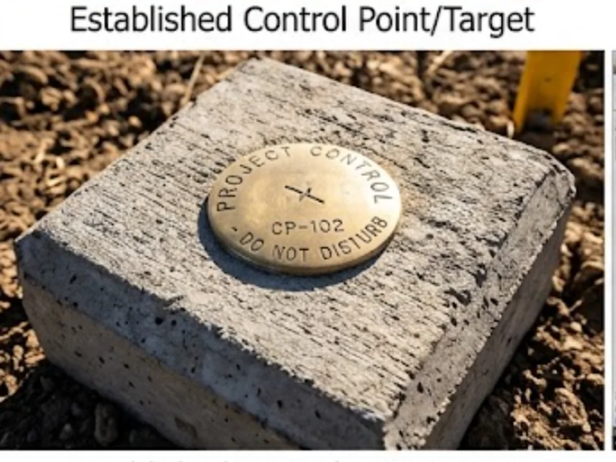
Where this is used
Common applications within construction, earthworks, development and survey workflows.
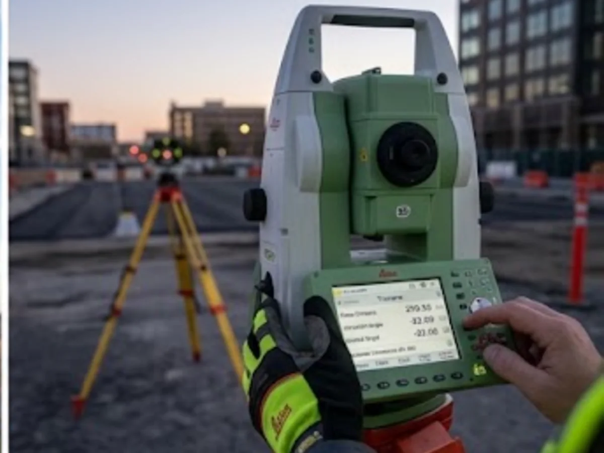
Construction sites
Control for setting out, progress and as-built surveys.
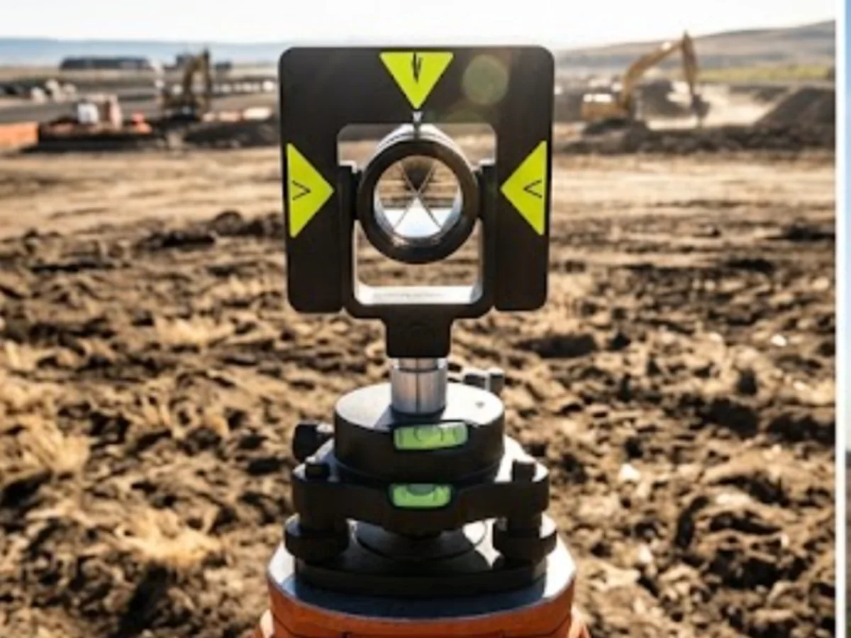
Drone surveys
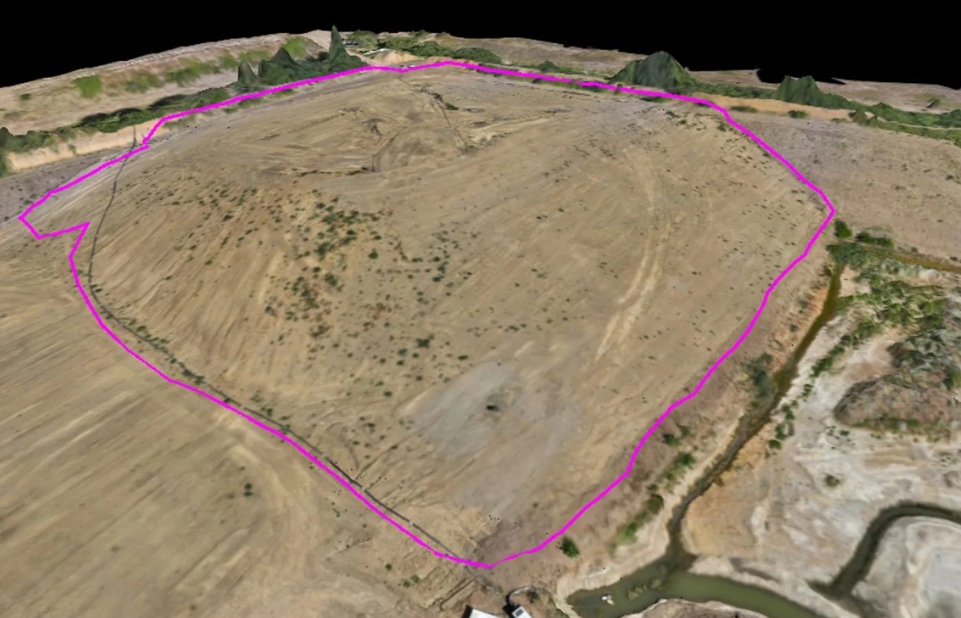
Ground control and check observations where required by the aerial workflow.

Earthworks
Consistent spatial basis for repeat surfaces and quantities.
Machine control
Coordinate framework supporting model and machine calibration workflows.
View related service →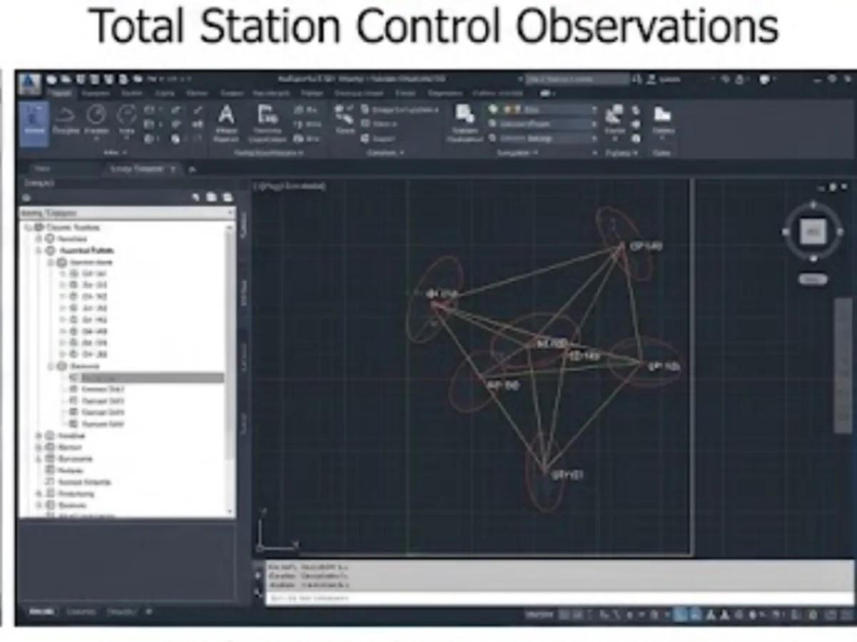
What you receive
How we deliver it
We plan the sequence around the project brief, programme and required deliverables.
Review project framework
Confirm existing coordinates, datum, design information and control requirements.
Reconnaissance
Select stable, practical control locations with suitable visibility and access.
Observe network
Measure the control using appropriate survey methods and redundancy.
Adjust & check
Review observations, closures and consistency with the project framework.
Mark & document
Record point descriptions, coordinates and levels.
Maintain
Recheck or extend control as the site changes where required.
Survey Control & Site Grids FAQ
Why is survey control important?
Survey control gives different instruments, survey visits and project teams a common coordinate and level framework so measurements can be compared and reused consistently.
Can existing site control be checked?
Yes. Existing control can be observed and checked against the available project information before it is relied on for subsequent survey or setting-out work.
Tell us what you need for Survey Control & Site Grids.
Send the site location, drawings, specification or a short description of the work. We’ll review what needs surveying and the project information your team needs back.