
Terms
Last updated: 4 September 2026
About these Website Terms
These Website Terms apply to the use of the GRID Surveying website operated by GRIDSURVEYING AND MAPPING LTD, trading publicly as GRID Surveying.
GRIDSURVEYING AND MAPPING LTD
Company number: 16311737
Email: c.balan@gridsurveying.co.uk
Telephone: +44 20 4652 4771
The website describes our surveying, measurement, drone, earthworks and digital-construction services and provides a way to contact us about potential projects.
Website information
We take reasonable care to keep the information on this website accurate and useful. However, website content is provided for general commercial and informational purposes and does not by itself constitute:
- a quotation;
- a professional appointment;
- a survey specification;
- project-specific advice;
- a contractual commitment; or
- a guarantee that a particular surveying method or deliverable is appropriate for every project.
Surveying requirements vary according to the project, site conditions, access, required accuracy, available design information, coordinate framework, deliverables and intended use of the survey data.
If you need confirmation of a particular capability, output, format or project requirement, contact us so that the requirement can be reviewed against the actual project information.
Enquiries and quotations
Submitting an enquiry, drawings or other project information through this website does not automatically create a contract or confirm that GRID Surveying has accepted an instruction.
We use the information provided to understand the project requirement, assess the proposed scope and, where appropriate, prepare a quotation or proposed scope of services.
A surveying commission is accepted only when the relevant scope, deliverables, programme and commercial arrangements have been agreed between the parties.
If the project information, site conditions, design information or required deliverables change, the scope, programme or quotation may also need to change.
Project-specific scope
Each surveying commission is undertaken according to its agreed project scope.
The scope may define matters including:
- the survey extent;
- required features and levels;
- coordinate and level framework;
- required accuracy or tolerance;
- survey methodology;
- control requirements;
- reference or design surfaces;
- required drawings, models or digital files;
- programme and access arrangements; and
- the intended use of the delivered information.
Where project-specific written terms, quotations, instructions or appointments apply, those project-specific arrangements take precedence over general information shown on this website.
Information supplied to us
We may rely on drawings, design information, specifications, coordinate information and other project data supplied by the client, designer, contractor or other project parties.
You should provide information that is current, relevant and appropriate to the requested work.
If supplied information is incomplete, inconsistent or appears unsuitable for the required survey or model, we may request clarification or revised information before proceeding.
Survey data and deliverables
Examples of survey outputs shown on this website illustrate the types of information GRID Surveying delivers. Actual deliverables depend on the agreed commission.
Outputs may include, depending on the project:
- survey drawings;
- coordinated 3D data;
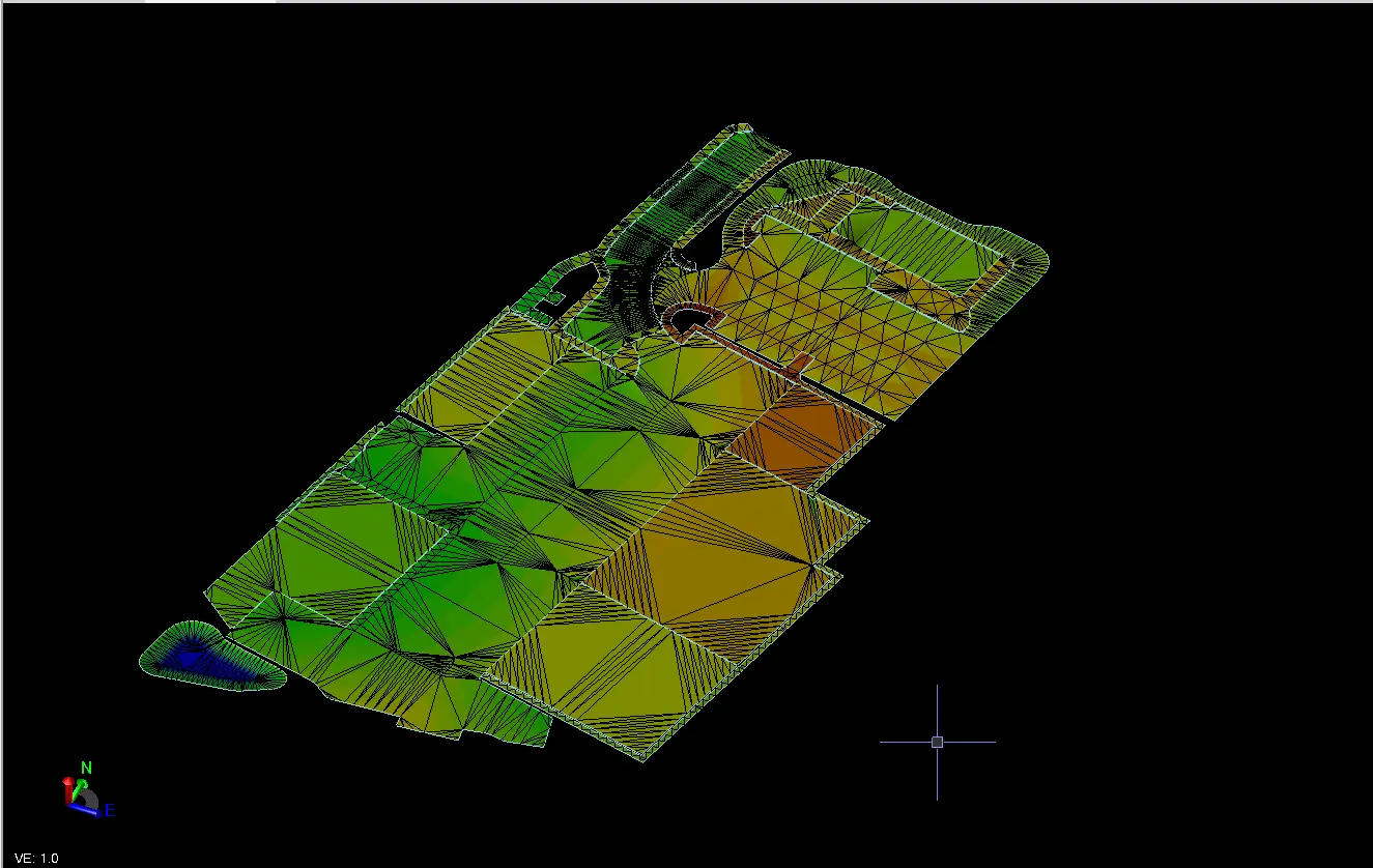
- terrain and surface models;
- point clouds;
- orthomosaics and aerial mapping;
- earthworks and volume information;
- setting-out or verification records;
- machine-control models; and
- agreed CAD, LandXML, XYZ, PDF or other project formats.
File formats and digital outputs are prepared around the agreed project requirement and receiving workflow.
Topographical and engineering survey information
Topographical, construction and engineering survey information is prepared around the agreed brief and the intended project use.
The inclusion of a particular feature, level, surface, drawing element or digital output should not be assumed unless it forms part of the agreed commission.
Where terrestrial and aerial methods are combined, each method is used according to the site conditions, visible detail and information required by the project.
Earthworks and volume information
Earthworks and volume calculations depend on defined survey boundaries and appropriate reference, design or comparison surfaces.
Cut, fill, stockpile and progress quantities should therefore be interpreted against the specific surfaces, limits and survey dates used for the calculation.
Where quantities are intended for contractual, commercial or material-management purposes, the relevant calculation basis should form part of the agreed survey requirement.
Machine control and 3D construction models
Machine-control and construction models are prepared from supplied approved design information for the confirmed compatible receiving workflow.
Model content may include construction surfaces, terrain models, breaklines, boundaries, alignments and other geometry required by the commissioned stage of work.
Compatibility depends on the receiving machine-control system, required file format, project workflow and supplied design information.
GRID Surveying prepares survey and model data from the information supplied for the commission. Responsibility for design authorship, approval and engineering design decisions remains with the appropriately responsible project party unless expressly agreed otherwise.
Drone surveying and aerial mapping
Drone surveying is subject to site suitability, access, weather, visibility, airspace, operational restrictions and the requirements applicable to the proposed flight.
Aerial survey methods capture visible surface information and do not automatically replace terrestrial surveying where ground observations, hidden features, survey control or other project-specific information is required.
Required outputs and accuracy expectations should be agreed around the intended project use.
Materials Management Plan survey support
GRID Surveying provides surveying and measured spatial or quantity information that may be used within the Materials Management Plan process.
Our MMP Survey Support service does not, unless separately and expressly agreed with an appropriately responsible party, include:
- formal Materials Management Plan preparation;
- material-suitability decisions;
- environmental or regulatory approval; or
- Qualified Person declarations.
The surveying service provides measured evidence and spatial information; responsibility for the wider MMP process remains with the relevant project parties and appointed professionals.
AI-assisted telephone reception
Our published business telephone number may be answered initially by an AI-assisted telephone receptionist supplied by IONOS.
The service is used to establish the purpose of the call, screen unsolicited or nuisance calls and route genuine business enquiries.
The AI receptionist does not provide surveying advice, approve project scopes, issue quotations or make technical or commercial commitments on behalf of GRID Surveying.
Further information about how telephone information is processed is provided in our Privacy Policy.
Use of the website
You must not deliberately use this website in a way that:
- interferes with its operation or security;
- attempts to gain unauthorised access to systems or data;
- introduces malicious software or automated abuse;
- uses enquiry facilities for spam or unsolicited marketing; or
- otherwise breaches applicable law.
We may restrict access where reasonably necessary to protect the website, business systems or other users.
Website availability
We aim to keep the website available and secure but do not guarantee uninterrupted or error-free operation.
The website may occasionally be unavailable because of maintenance, hosting, security, network or other technical circumstances.
We may change, update or remove website content without notice where necessary.
Intellectual property
Unless stated otherwise, the text, design, graphics, survey illustrations, photographs and other content published on this website are owned by, licensed to or used with the authority of GRID Surveying.
Website content must not be reproduced, republished, distributed or commercially exploited without permission except where permitted by law.
Project-specific survey drawings, models, data and other deliverables remain subject to the rights, licences and terms applicable to the relevant surveying commission.
Third-party websites and services
This website may contain links to websites, software or services operated by third parties.
GRID Surveying is not responsible for the availability, content, security or privacy practices of third-party websites or services that we do not control.
Liability
Nothing in these Website Terms excludes or restricts liability where it would be unlawful to do so.
The general information published on this website should not be relied upon as a substitute for an agreed surveying brief, project-specific professional advice or the written terms of a surveying commission.
Where surveying work is commissioned, responsibility and liability relating to that work are governed by the relevant project-specific scope, quotation, appointment or other agreed terms.
Privacy and cookies
Personal information submitted through this website, telephone communications or subsequent business correspondence is handled in accordance with our Privacy Policy.
Information about cookies and similar website technologies is provided in our Cookie Notice.
Changes to these Terms
We may update these Website Terms where our website, services, technology or legal requirements change.
The latest version will be published on this page with the date of the most recent update.
Contact
If you have questions about these Website Terms or need to discuss a surveying requirement, contact:
GRID Surveying
GRIDSURVEYING AND MAPPING LTD
Company number: 16311737
Email: c.balan@gridsurveying.co.uk
Telephone: +44 20 4652 4771