
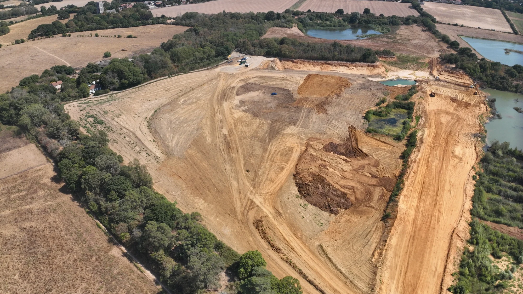
Construction, topographical and drone surveying across Essex.
We support construction, development and earthworks projects across Essex with topographical surveying, setting out, survey control, drone mapping, quantities and working 3D data.
Surveying from existing site information through active construction.
Typical requirements include topographical surveys, construction setting out, survey control, earthworks quantities, drone mapping, stockpile measurement, as-built verification and machine-control model preparation.
We scope the survey around the project requirements and intended use of the data. We prepare coordinated 3D working data, detailed existing-site information and plotted CAD deliverables to the agreed brief.
Topographical Surveys
Existing-site levels, features, coordinated 3D data, CAD drawings and terrain surfaces for site and design teams.
View service →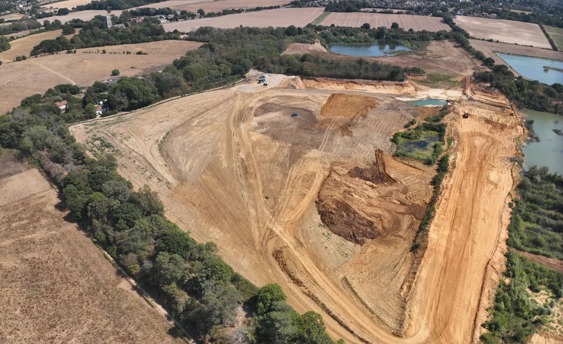
Drone Surveying & Mapping
Aerial survey capture for measurable mapping, terrain, point clouds, quantities and repeat project records.
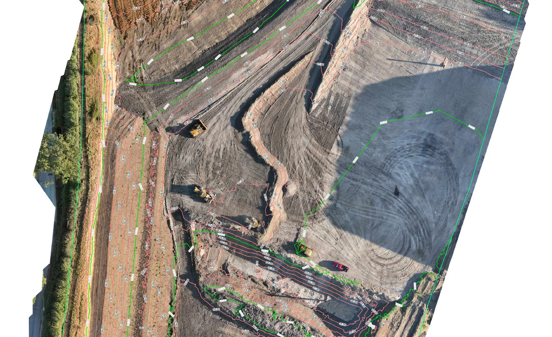
View service →Earthworks & Volume Surveys
Current surfaces, quantities and construction records through excavation, filling and formation stages.
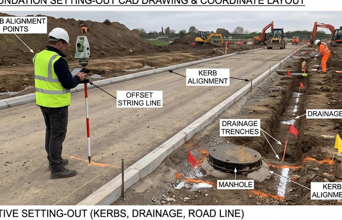
View service →Construction Setting Out
Approved design geometry and levels transferred onto the site for construction.
View service →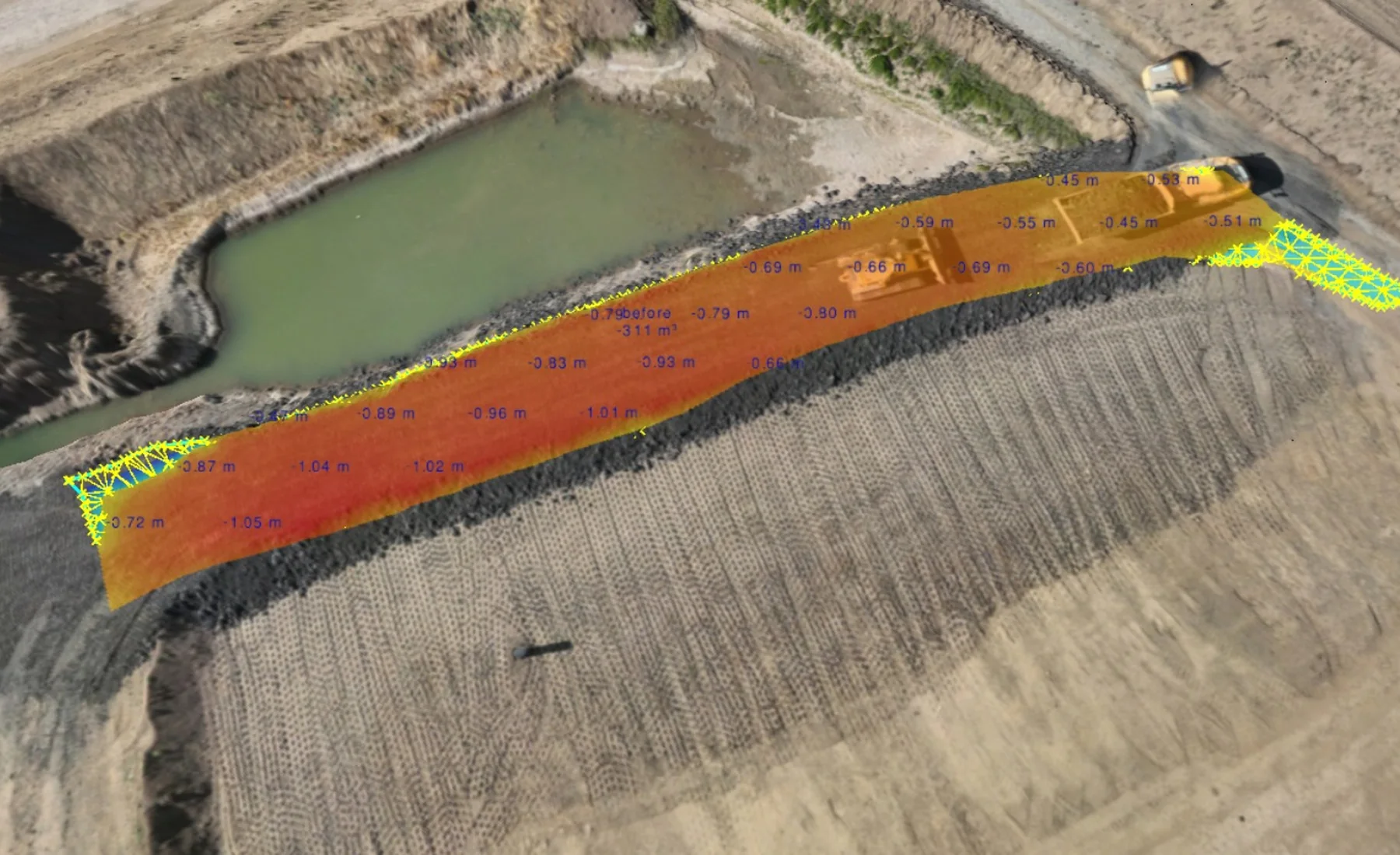
As-Built & Verification Surveys
Measured records of completed work compared with required geometry, levels or supplied design information.
View service →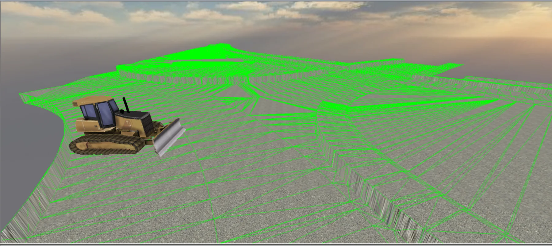
Machine Control & 3D Models
Construction-ready 3D models prepared from approved design information for compatible machine-control systems.
View service →