
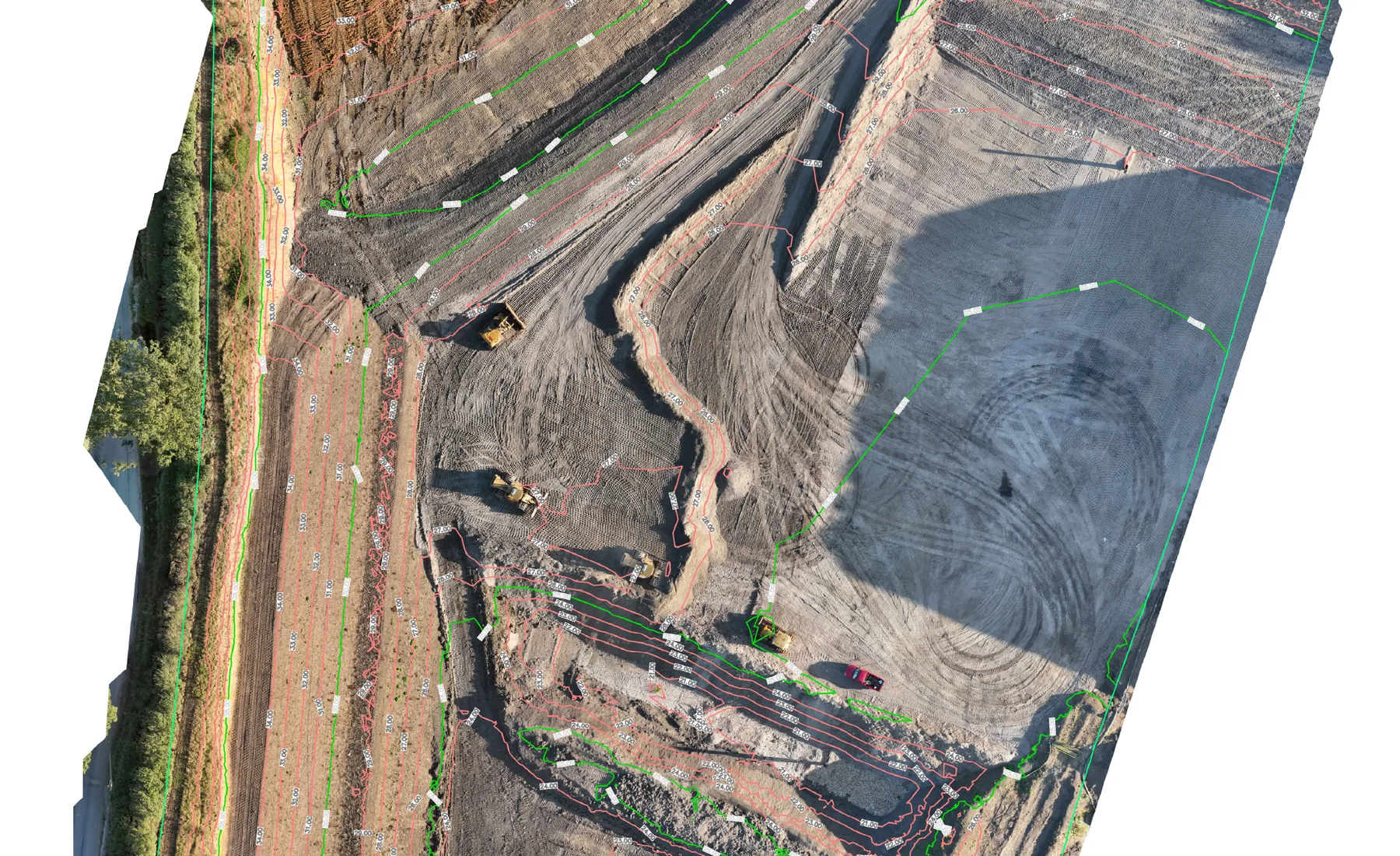
Topographical Surveys
We survey the existing site and deliver coordinated 3D data, drawings and terrain information your site and design teams can work from.
Survey information your team can work from
A topographical survey should give the project team more than a drawing. We measure the existing site and organise the information around how it will be used for design, construction, earthworks or engineering.
Deliverables are prepared around the project brief, from coordinated levels and 3D linework to CAD drawings, breaklines and terrain surfaces.
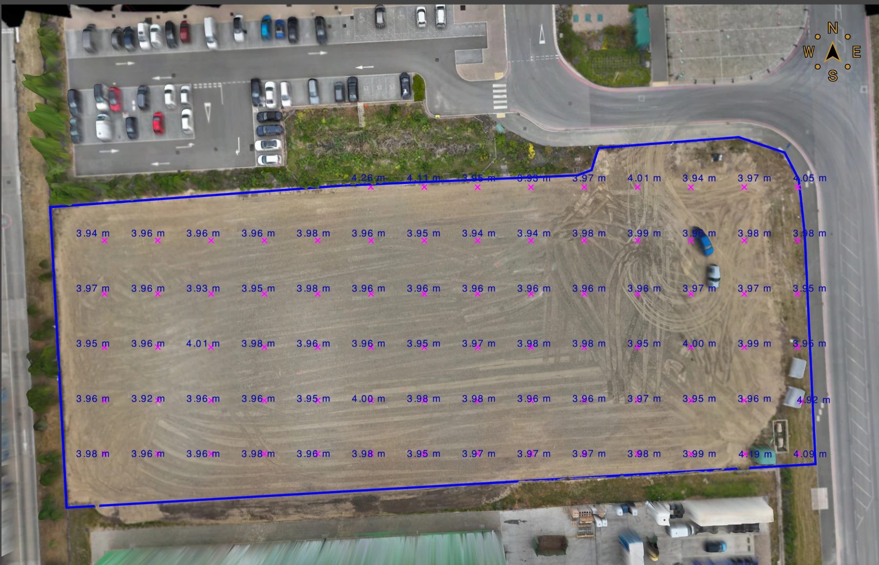
Survey content tailored to the project brief.
We prepare topographical survey information around the project brief: working 3D data, detailed survey drawings, terrain surfaces and other agreed outputs.
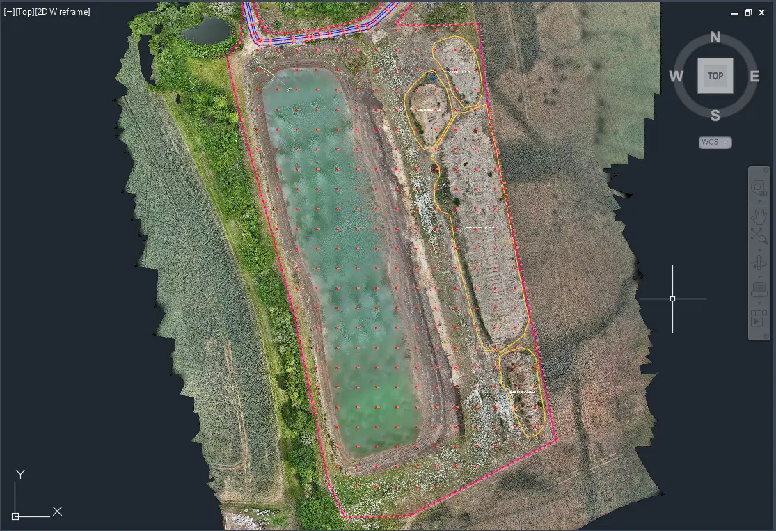
Working data for construction teams
We issue coordinated levels, 3D linework, breaklines and surfaces for construction, earthworks and engineering workflows.
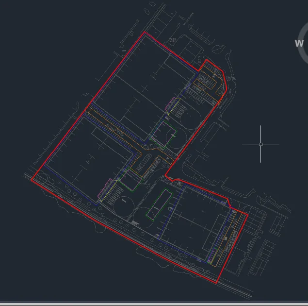
Detailed survey information for design teams
We prepare drawings with the features, annotations and plotted information required for architectural, civil and multidisciplinary design.
Where this is used
Common applications within construction, earthworks, development and survey workflows.
Earthworks & tender information
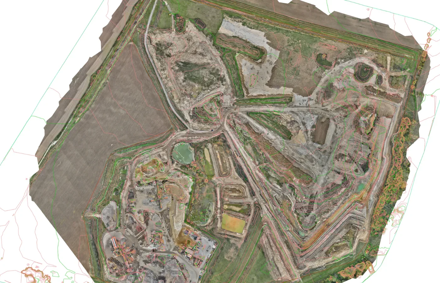
Current ground and terrain data for quantities, tender assessment and earthworks planning.
Large-area site mapping
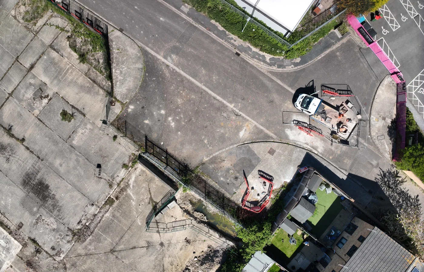
Drone photogrammetry can supplement terrestrial survey on suitable open sites.
What you receive
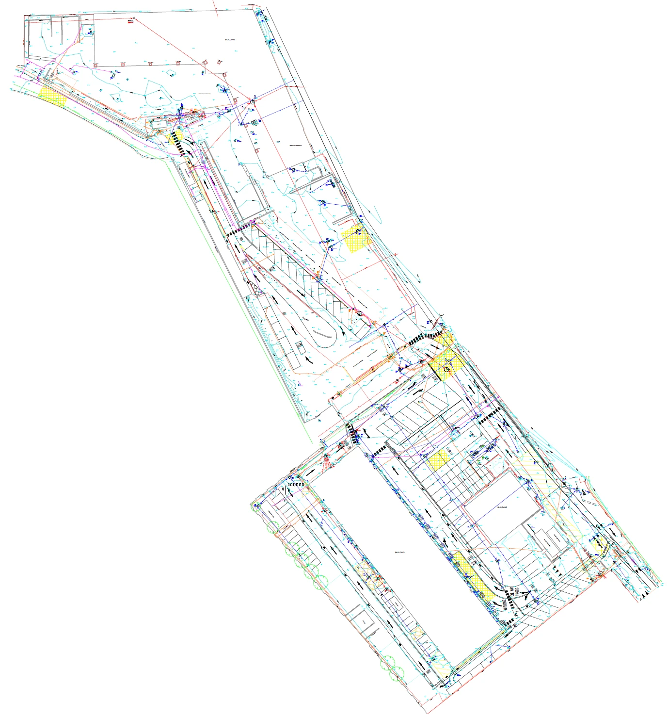
Compatible workflows may include: Autodesk Civil 3D · Trimble Business Center · LSS · Virtual Surveyor · QGIS.
How we deliver it
We plan the sequence around the project brief, programme and required deliverables.
Project brief
Confirm survey extents, intended use, required features, coordinate/level framework and deliverables.
Survey planning
Select total station, GNSS and aerial photogrammetry as appropriate to access, visibility and required detail.
Field survey
Capture the agreed site information with suitable control and checks.
Processing
Prepare linework, levels, breaklines, surfaces and interpreted survey information.
QA
Review the survey against the agreed scope, control and deliverable requirements.
Delivery
Issue the required CAD, surface, point-cloud, orthomosaic or plotted outputs.
Topographical Surveys FAQ
What is normally included in a topographical survey?
The content is agreed for the project and can include terrain, spot levels, breaklines, roads, kerbs, buildings, walls, fences, drainage features, trees, visible services, structures and other natural or constructed features relevant to the brief.
Can a topographical survey be supplied as 3D working data?
Yes. Where required, deliverables can include coordinated 3D linework, survey points, breaklines, terrain surfaces, LandXML and XYZ data in addition to DWG, DXF and PDF drawings.
Can drones be used for topographical surveys?
Yes, on suitable sites. Photogrammetry can add dense visible-surface information across open areas. Terrestrial observations are used where detail is hidden, inaccessible from the air or better measured from the ground.
Which coordinate system can the survey use?
The survey can be referenced to an agreed project grid, local control or an appropriate national coordinate and level framework, depending on the project information and intended use.
Tell us what you need for Topographical Surveys.
Send the site location, drawings, specification or a short description of the work. We’ll review what needs surveying and the project information your team needs back.