
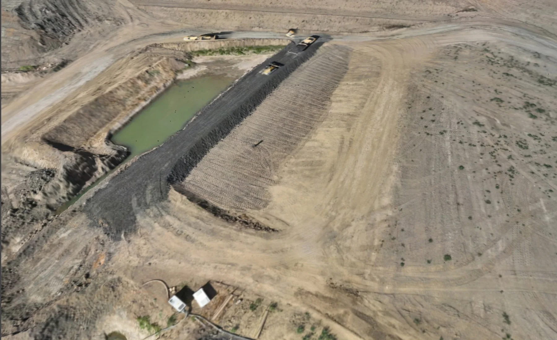
Construction Progress Surveys
We repeat the survey at agreed stages so you can see measurable site change, progress and quantities over time.
Measure change between project stages
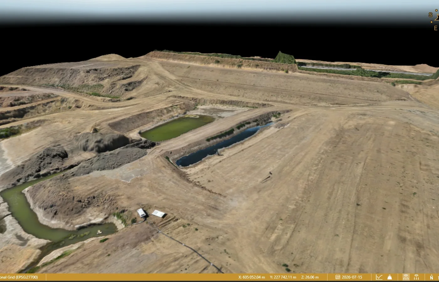
A repeat survey gives the project team a consistent measured record of how the site changes through construction.
Comparable surfaces, imagery and project data can be used to record progress, earthworks stages, quantities and completed work at agreed dates.
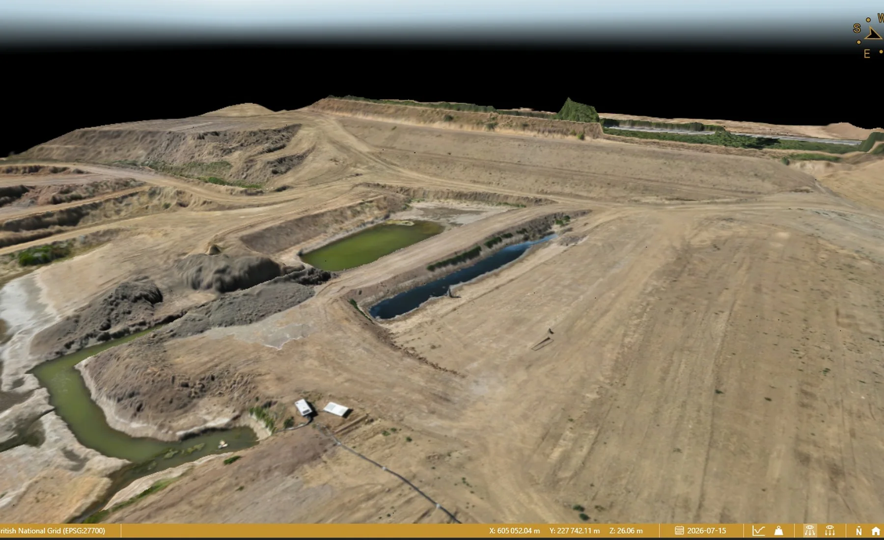
Where this is used
Common applications within construction, earthworks, development and survey workflows.
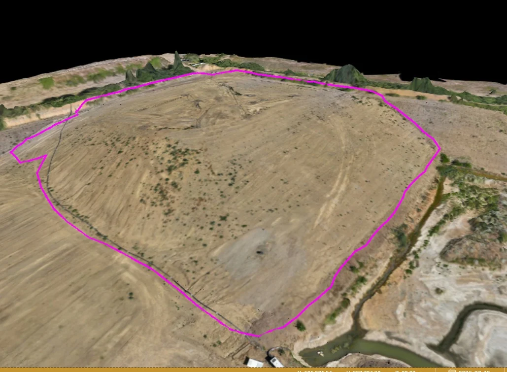
Bulk earthworks progress
Current ground and volume change through excavation and fill operations.
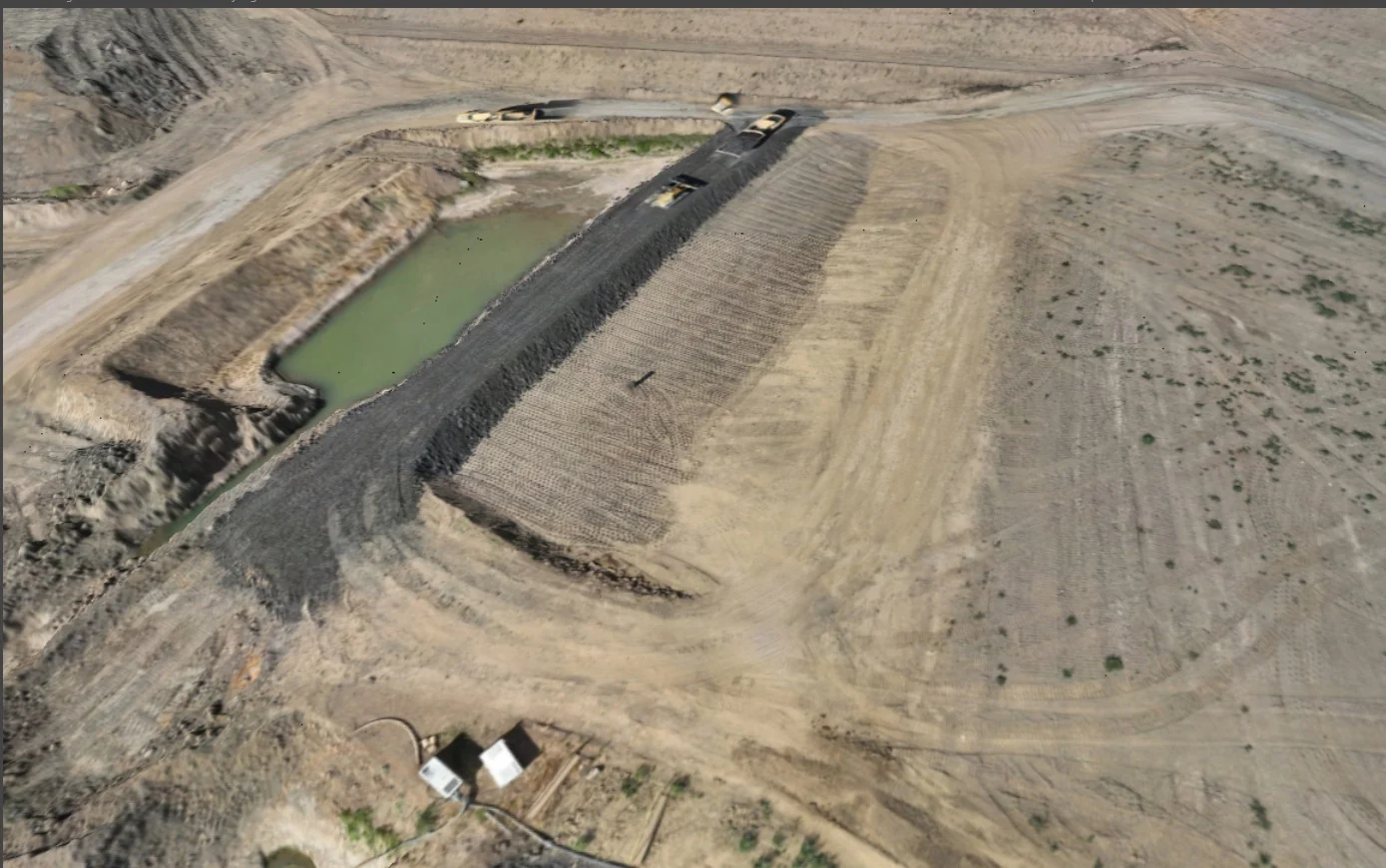
Formation & capping records
Survey agreed construction surfaces before the next layer is placed.
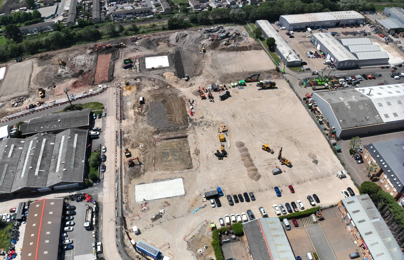
Site-wide progress mapping
Repeat aerial mapping for a current measurable record of site development.
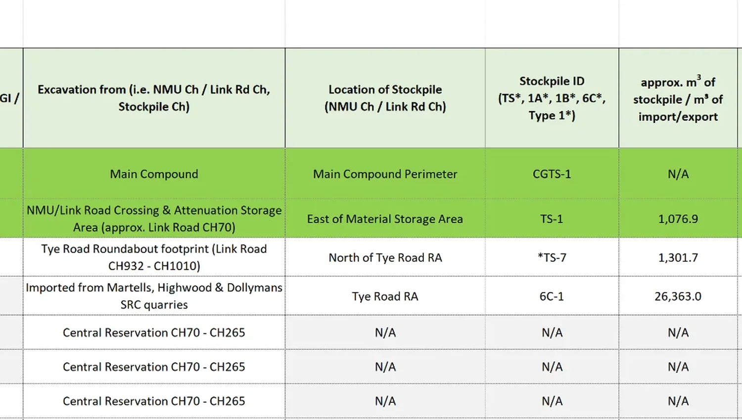
Material reconciliation
Link repeat survey quantities with stockpile and material-management records.
View related service →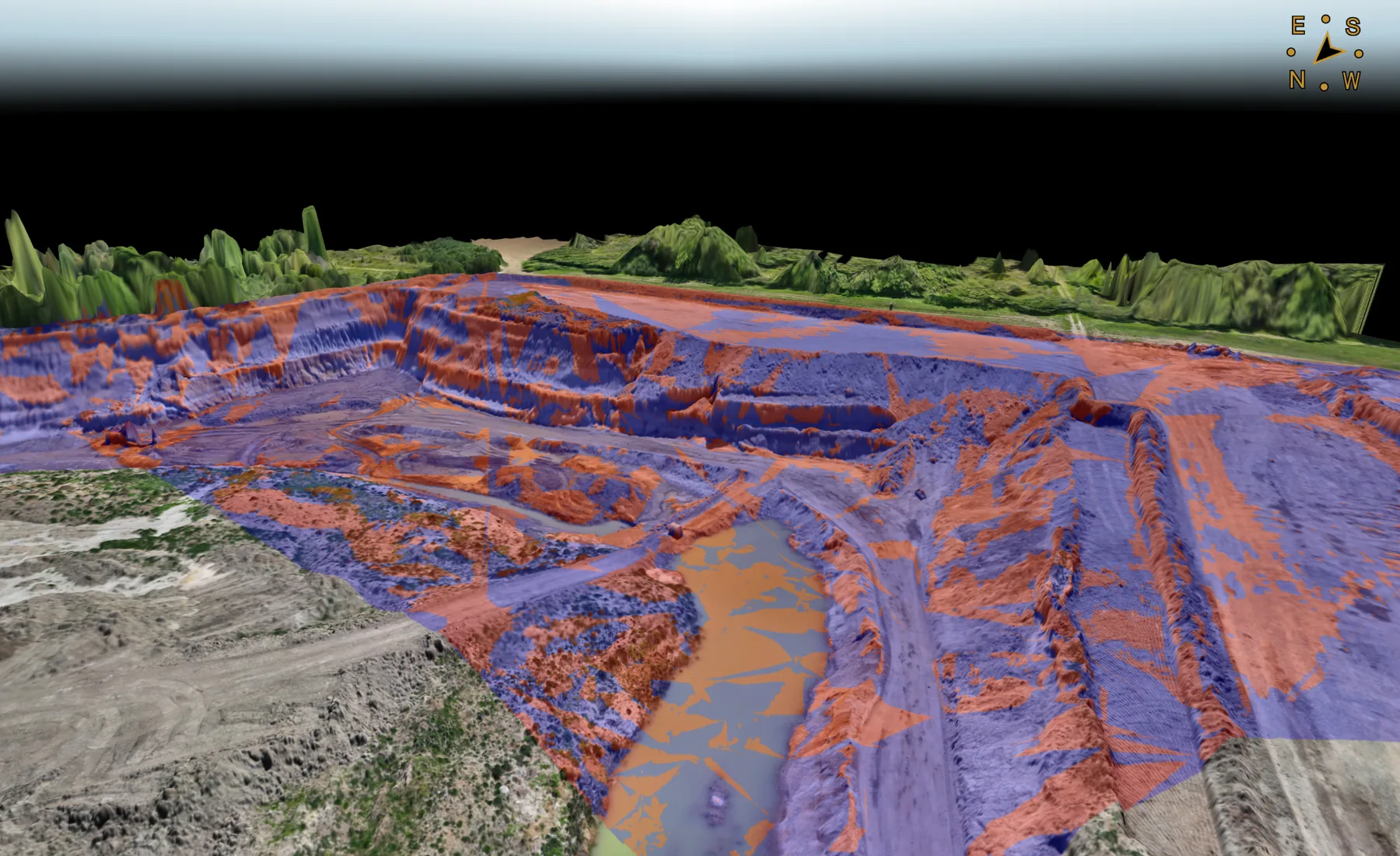
What you receive
How we deliver it
We plan the sequence around the project brief, programme and required deliverables.
Define stages
Agree which construction phases or layers need a survey record.
Establish baseline
Reference the first dataset to the project control and design framework.
Repeat survey
Capture subsequent conditions using a consistent spatial basis.
Process
Prepare drawings, surfaces, mapping and quantity comparisons as required.
Issue phase record
Deliver each agreed survey stage promptly for project use.
Reconcile
Compare stages, quantities or design information where included in scope.
Construction Progress Surveys FAQ
What can a construction progress survey record?
Progress surveys can record current levels, terrain, formation or capping stages, stockpiles, construction extents, aerial mapping and other agreed features or surfaces relevant to the project phase.
Can progress surveys be used for earthworks quantities?
Yes. When comparable surfaces and boundaries are available, repeat surveys can support date-to-date earthworks quantities and material reconciliation.
How often should progress surveys be carried out?
The interval should follow the project programme and the information that needs to be recorded. Some stages are best surveyed before work is covered; others may be measured weekly, monthly or at agreed milestones.
Tell us what you need for Construction Progress Surveys.
Send the site location, drawings, specification or a short description of the work. We’ll review what needs surveying and the project information your team needs back.