
Topographical survey
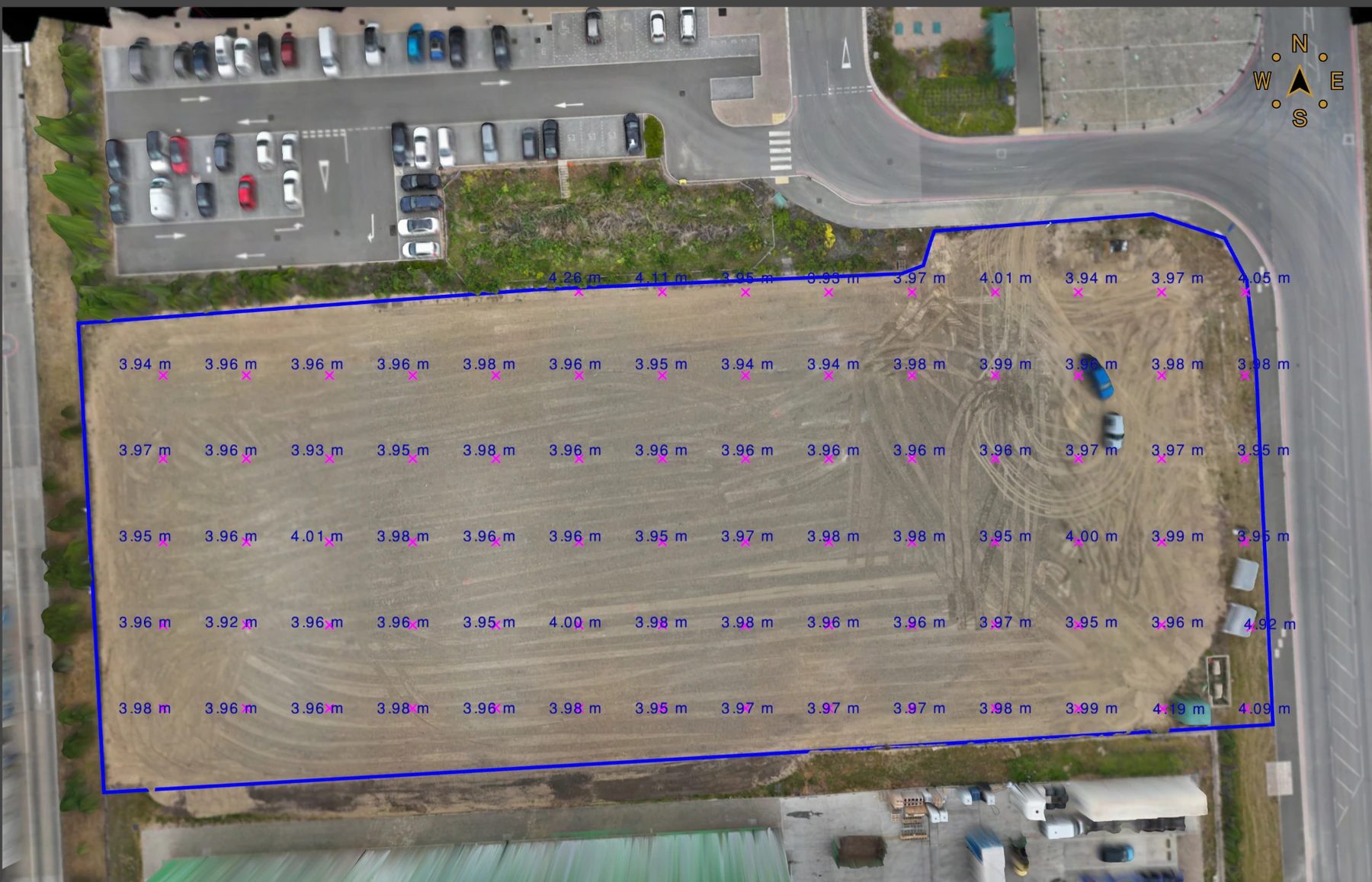
Topographical survey — site engineering data
Surveyed levels and coordinated site information prepared for direct engineering use on an active project.
View related service →Topographical data, aerial mapping, earthworks analysis, stockpile measurement, Civil 3D surfaces and machine-control models.
Surveyed levels and coordinated site information prepared for direct engineering use on an active project.
View related service →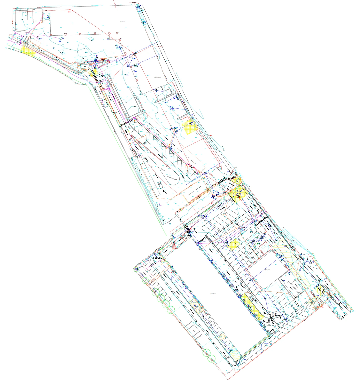
Detailed existing-site survey drawing prepared as a coordinated design base for architectural and multidisciplinary use.
View related service →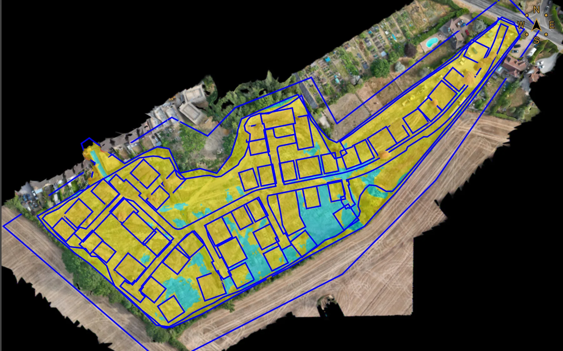
Surveyed terrain and design geometry combined to map and quantify surface differences across the project area.
View related service →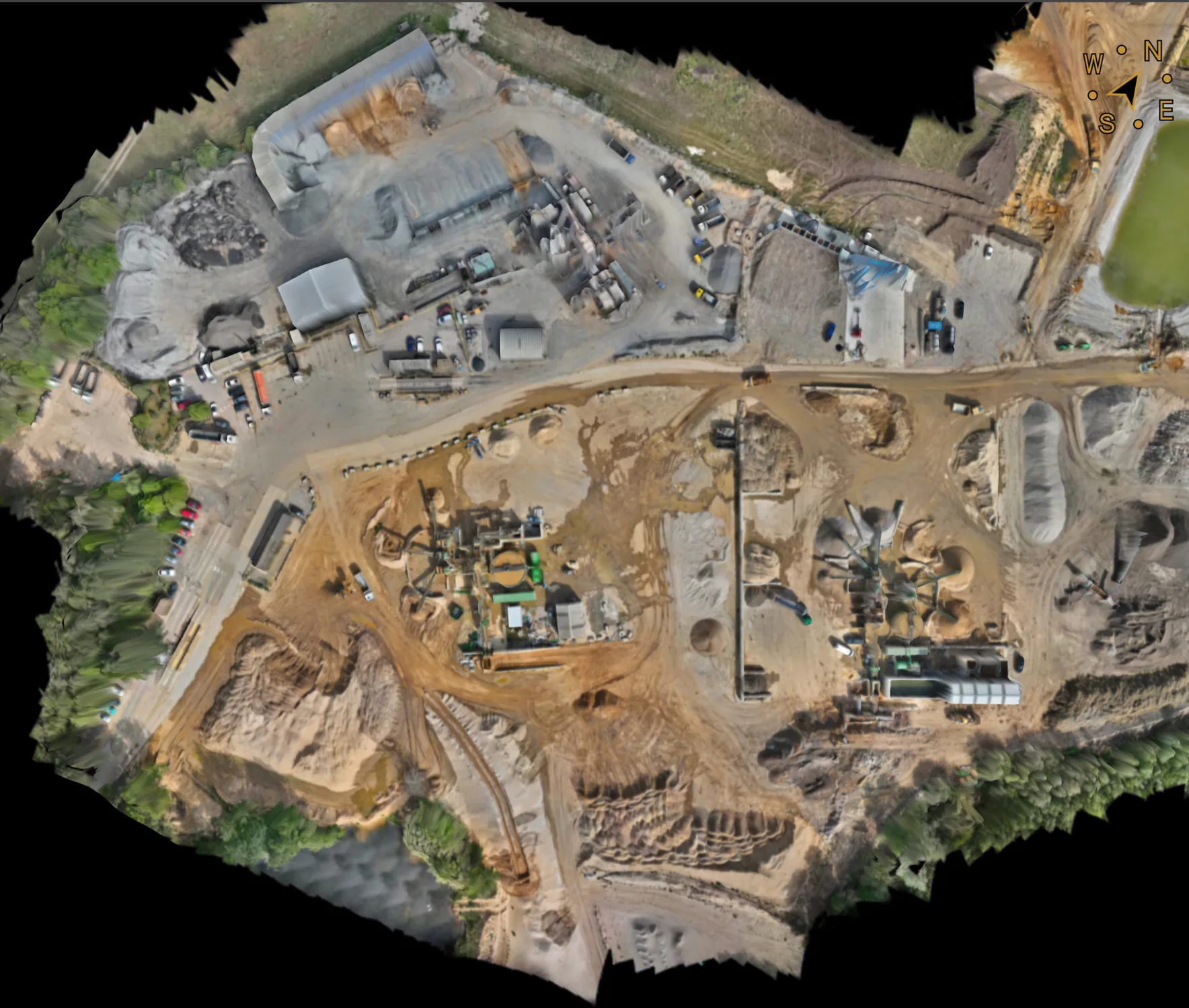
Georeferenced photogrammetric orthomosaic providing a current plan view of an operational quarry and processing site.
View related service →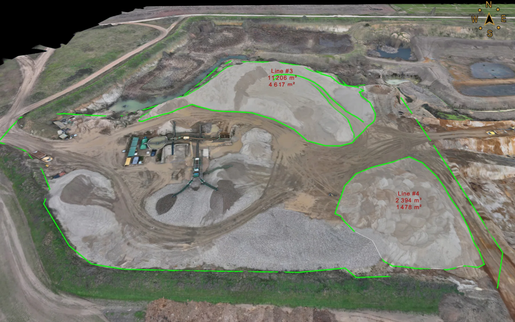
Defined stockpile boundaries and calculated material quantities produced from the survey dataset.
View related service →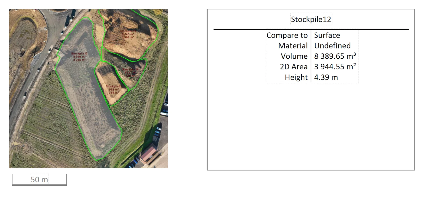
Mapped stockpile and volume records supporting material tracking and quantity reconciliation through earthworks phases.
View related service →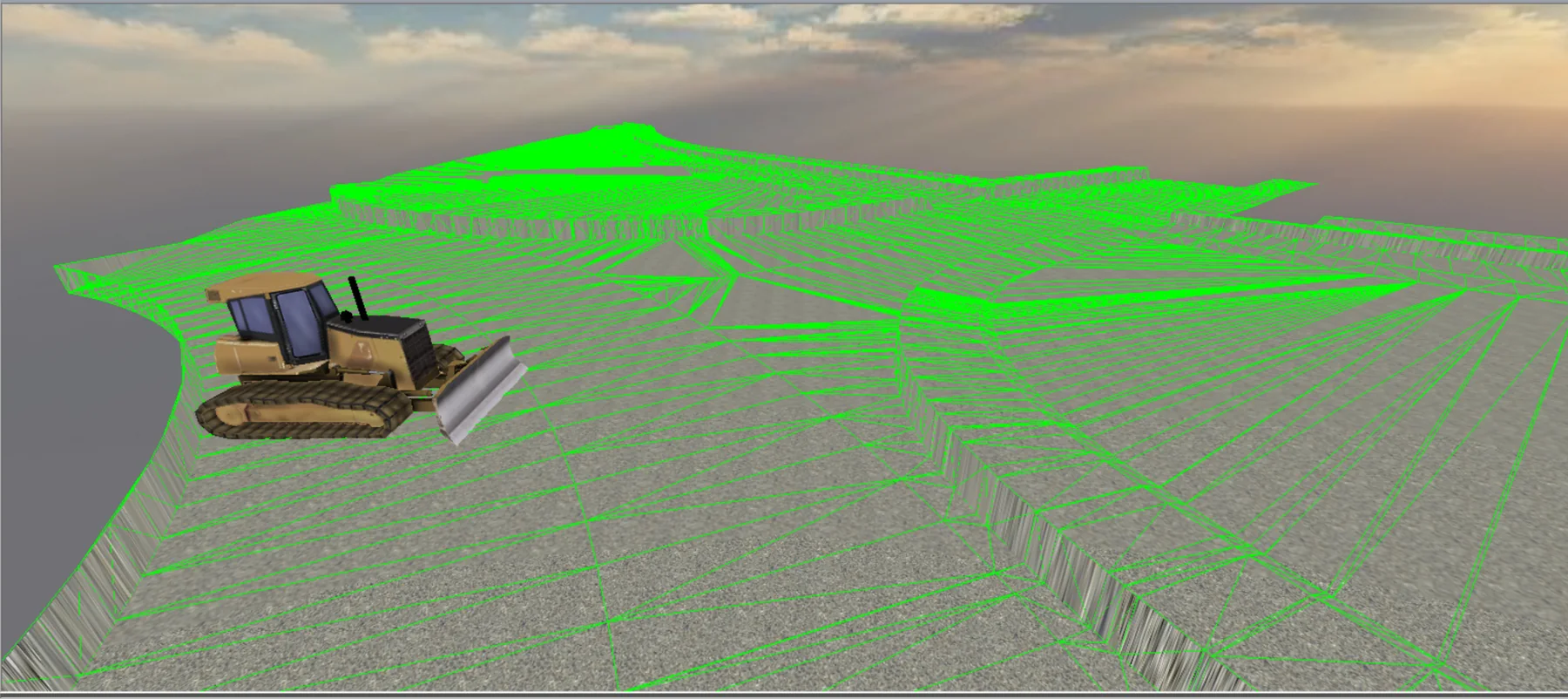
3D formation surface prepared from approved project geometry for compatible GPS-guided earthmoving plant.
View related service →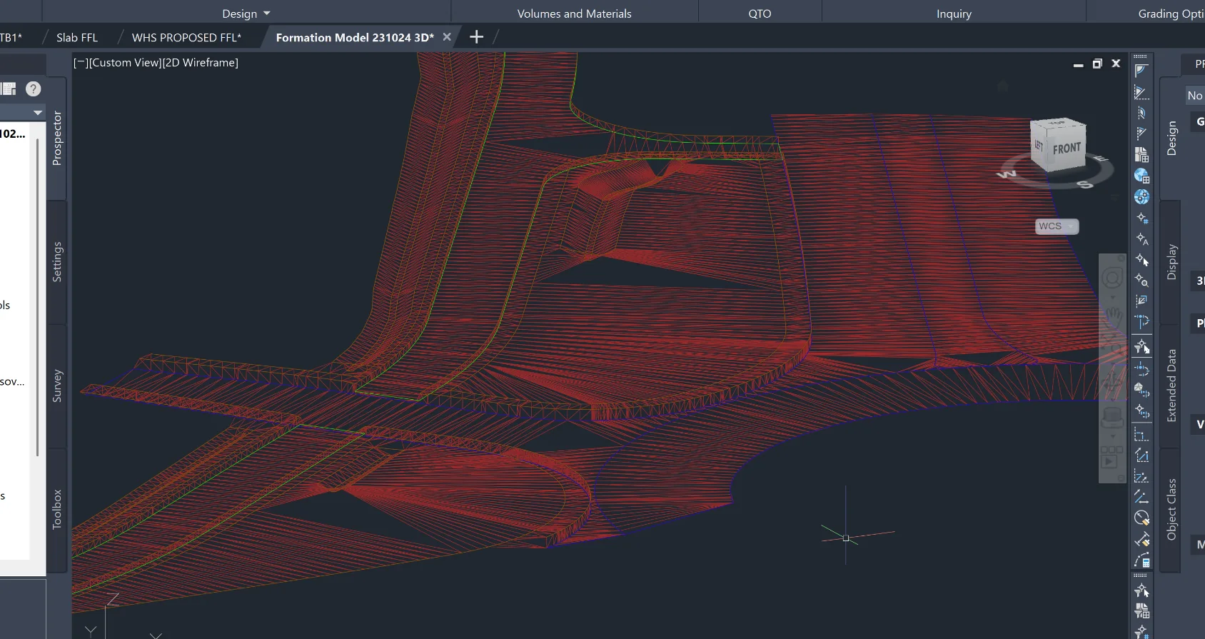
Engineered formation surface used within a downstream construction and machine-control modelling workflow.
View related service →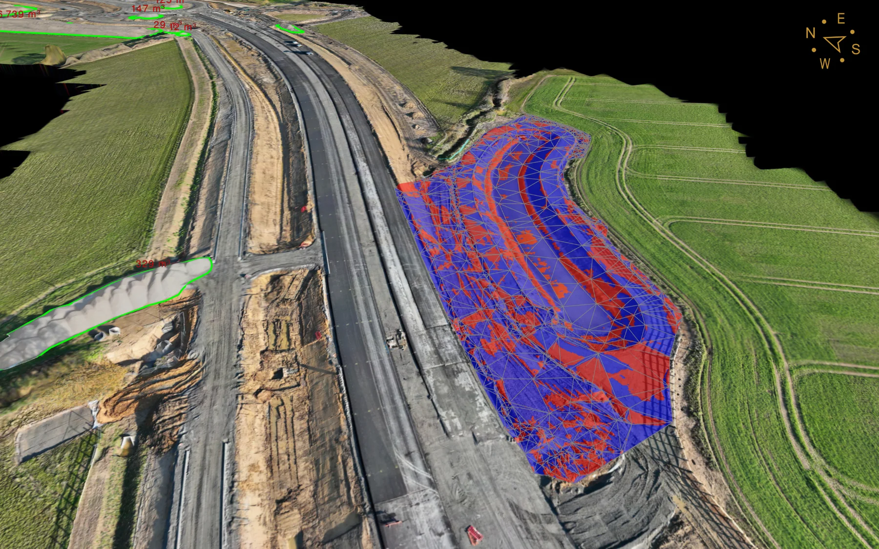
Survey and design information combined over a road corridor to support surface analysis, quantities and construction review.
View related service →Send the project location, drawings or survey brief.