
Stockpile Volume Surveys
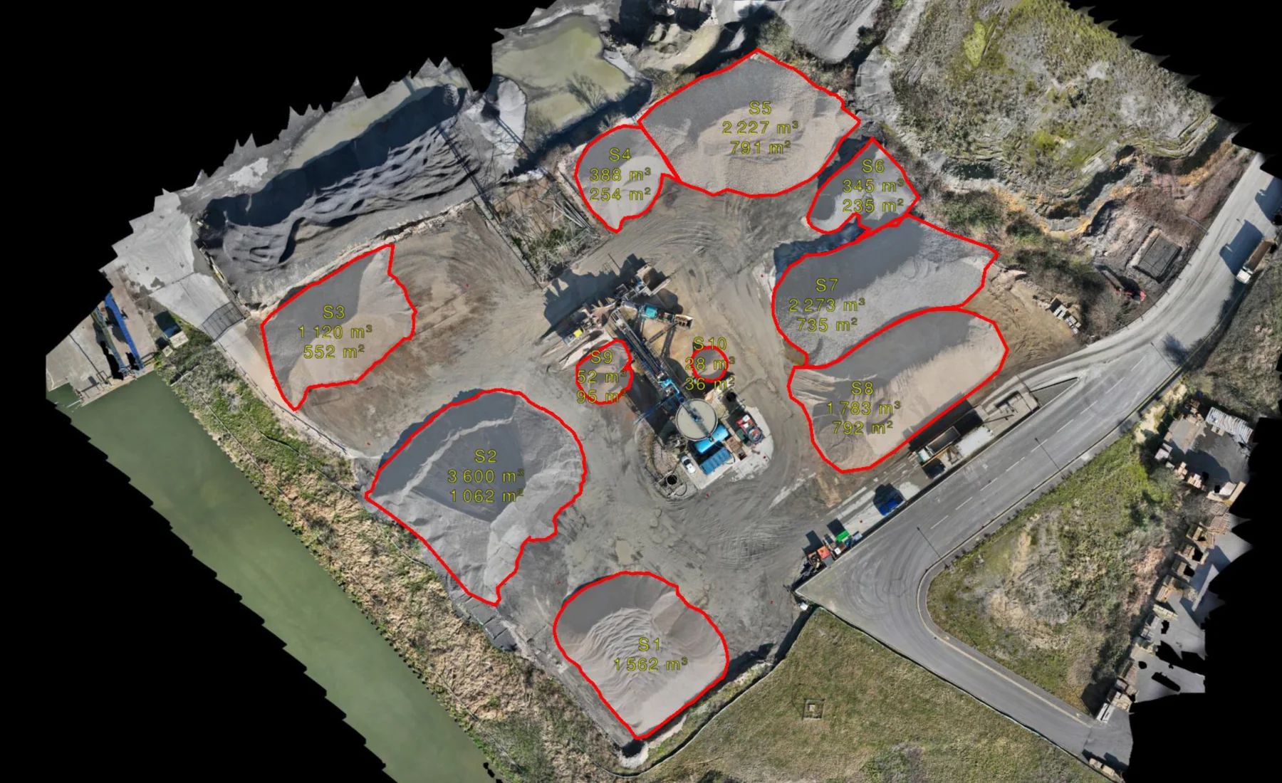
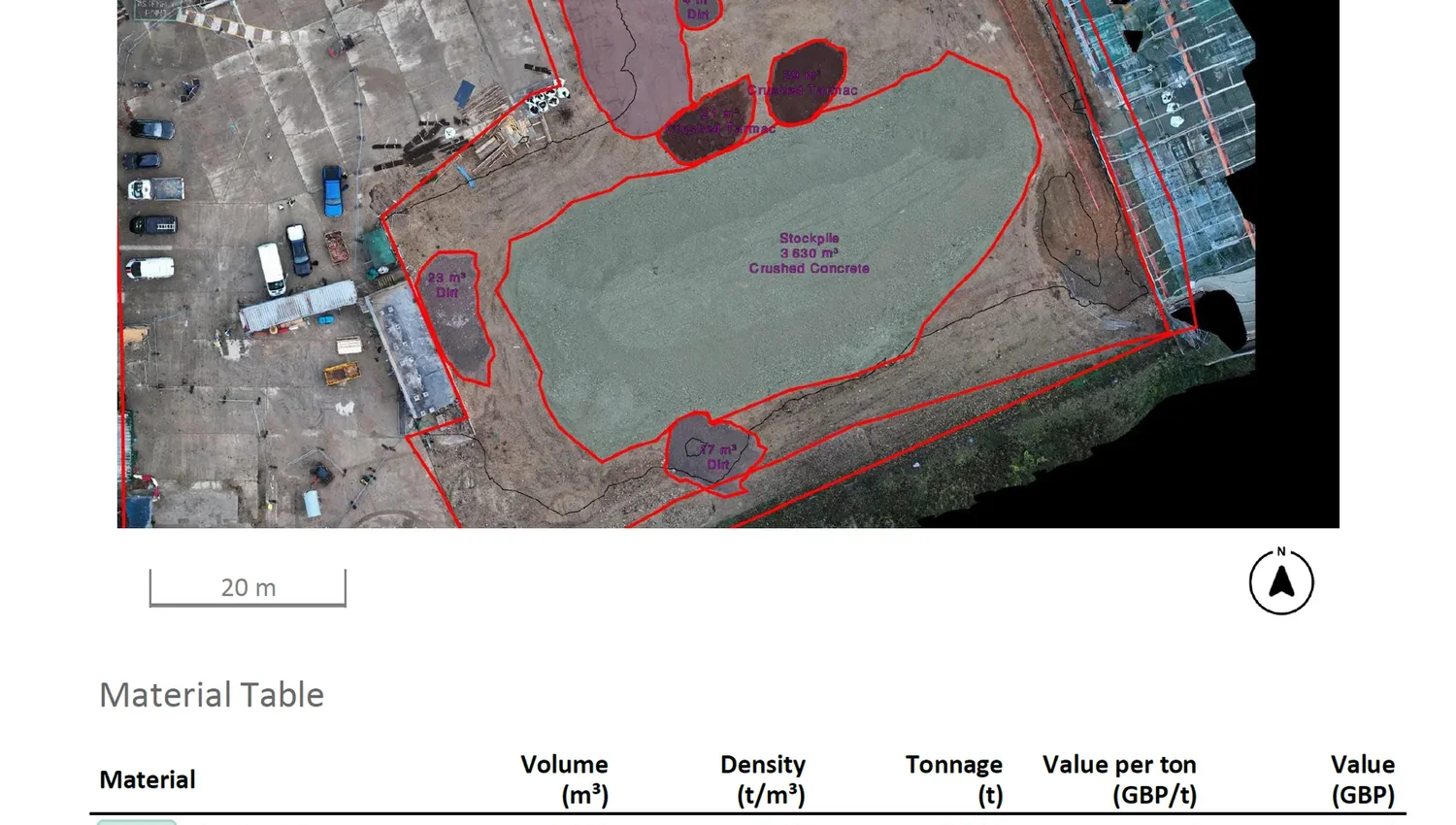
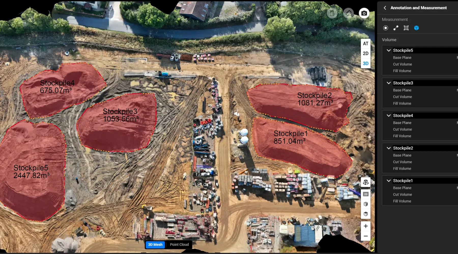
We measure defined stockpiles and calculate quantities for inventory, reconciliation and material records.
Measured quantities from the material that is actually on site
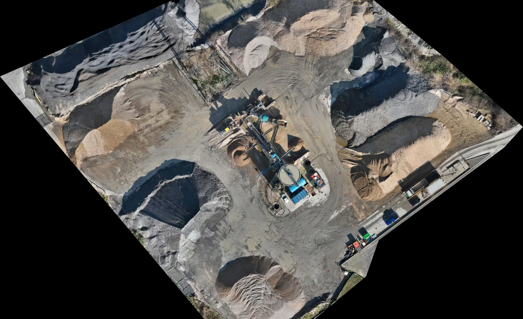
We survey the visible stockpile surface and defined pile boundary, then calculate the quantity against the agreed base or reference condition.
Repeat surveys provide a consistent record as material is imported, moved, reused or removed, supporting inventory and earthworks management.
Where this is used
Common applications within construction, earthworks, development and survey workflows.
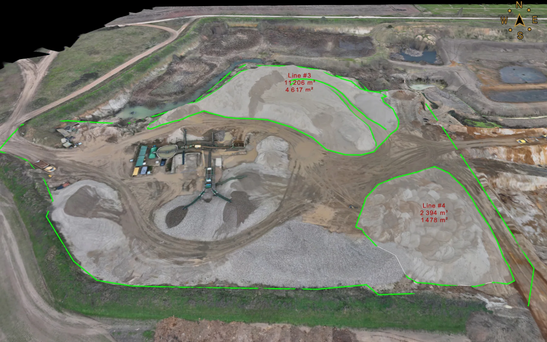
Earthworks stockpiles
Soil, fill, capping and other project material holdings.
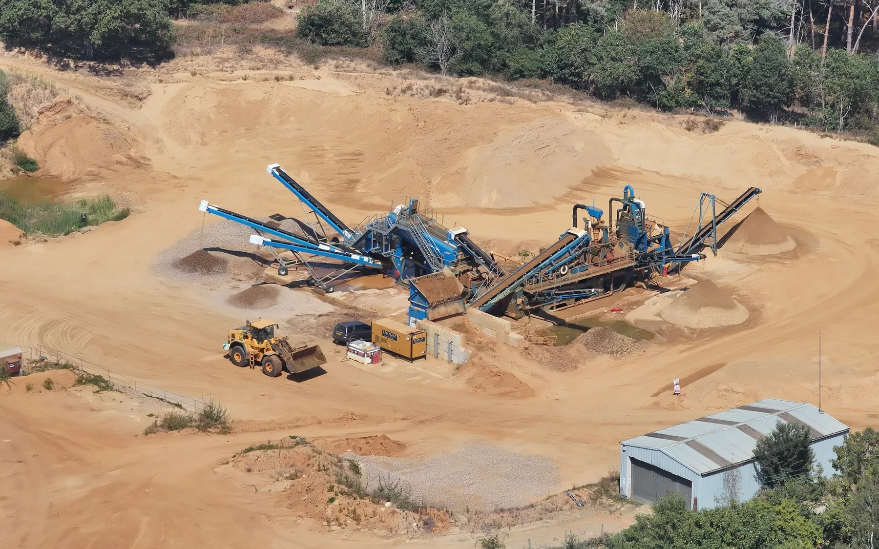
Quarry & aggregate inventory
Repeat measurement of defined aggregate or processed material stockpiles.
MMP survey support
Quantity records for material tracking and reconciliation within the earthworks programme.
View related service →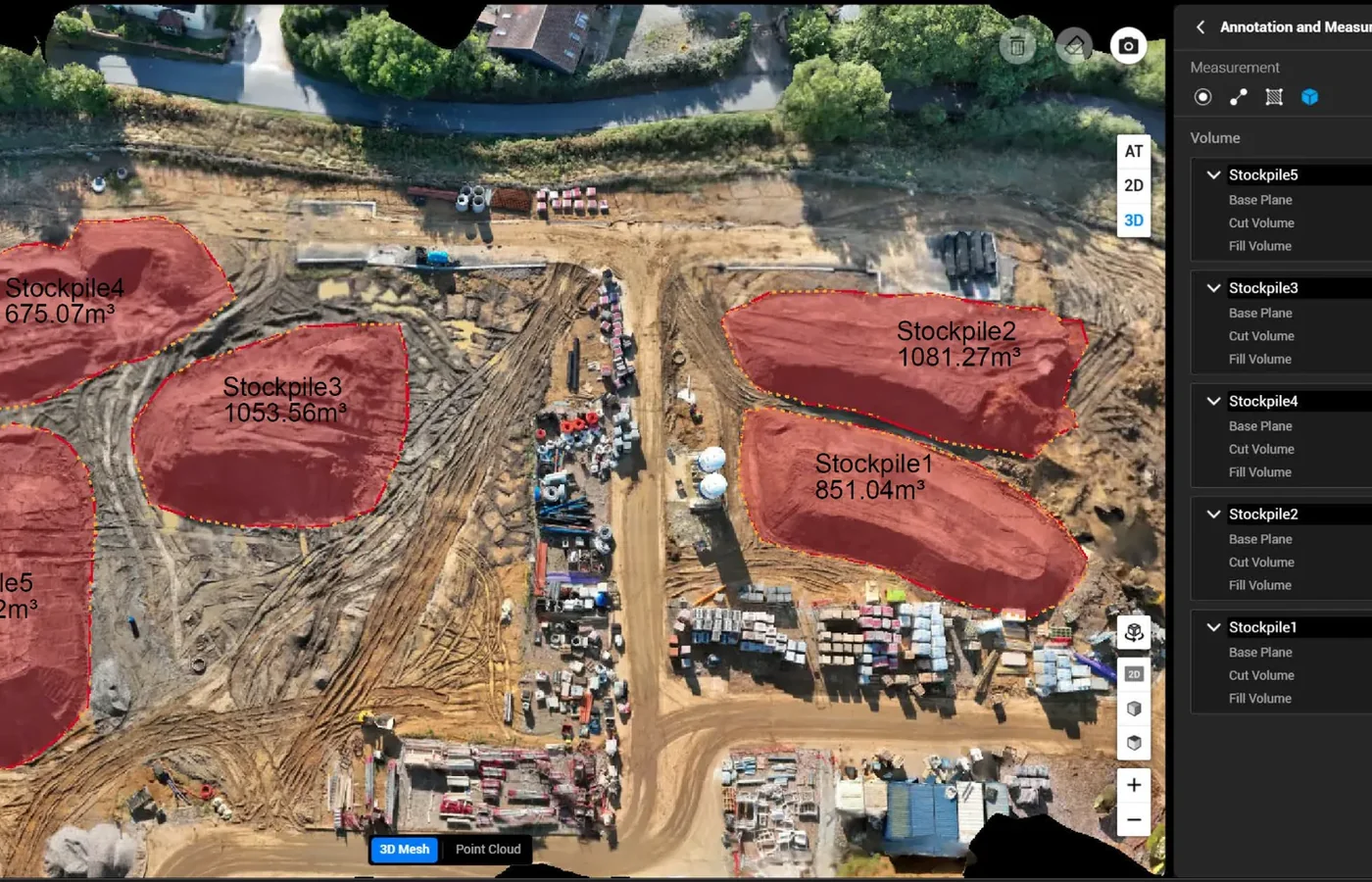
Phase reconciliation
Compare material holdings between defined project stages.
What you receive
How we deliver it
We plan the sequence around the project brief, programme and required deliverables.
Define stockpiles
Confirm survey area, pile identification and required reporting structure.
Establish reference condition
Confirm the base, lower reference or available pre-stockpile survey information.
Survey
Capture the stockpile surfaces using appropriate aerial and/or ground survey methods.
Model & calculate
Define pile boundaries, surfaces and volume calculations.
Check
Review boundaries, reference assumptions and quantity schedules.
Report
Issue mapped quantities and supporting data in the agreed format.
Stockpile Volume Surveys FAQ
How is a stockpile volume calculated?
The surveyed upper surface is compared with an agreed base or reference condition inside the defined stockpile boundary. The quantity depends on both the measured surface and the reference used beneath it.
Can stockpile surveys be repeated regularly?
Yes. We repeat surveys at agreed dates or phases to provide inventory records and support material reconciliation throughout an earthworks programme.
Can stockpile quantities support an MMP?
Yes. Surveyed stockpile locations and quantities can form part of the spatial and quantitative records used to support material tracking and reconciliation within a Materials Management Plan workflow.
Tell us what you need for Stockpile Volume Surveys.
Send the site location, drawings, specification or a short description of the work. We’ll review what needs surveying and the project information your team needs back.