
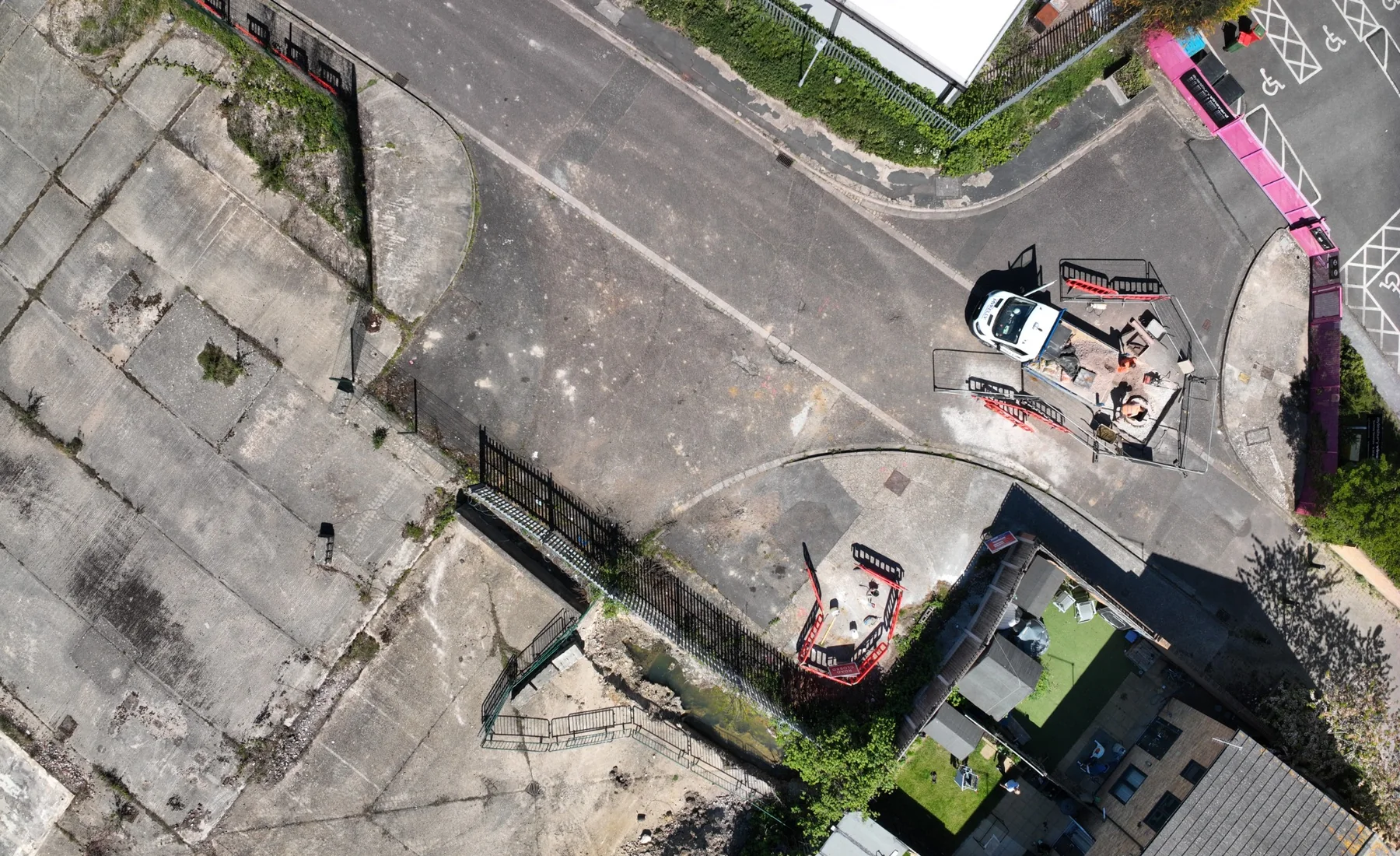
Surveying for construction and development projects across Greater London.
We support London construction and development projects with topographical, construction and aerial survey data planned around the site, access and required deliverables.
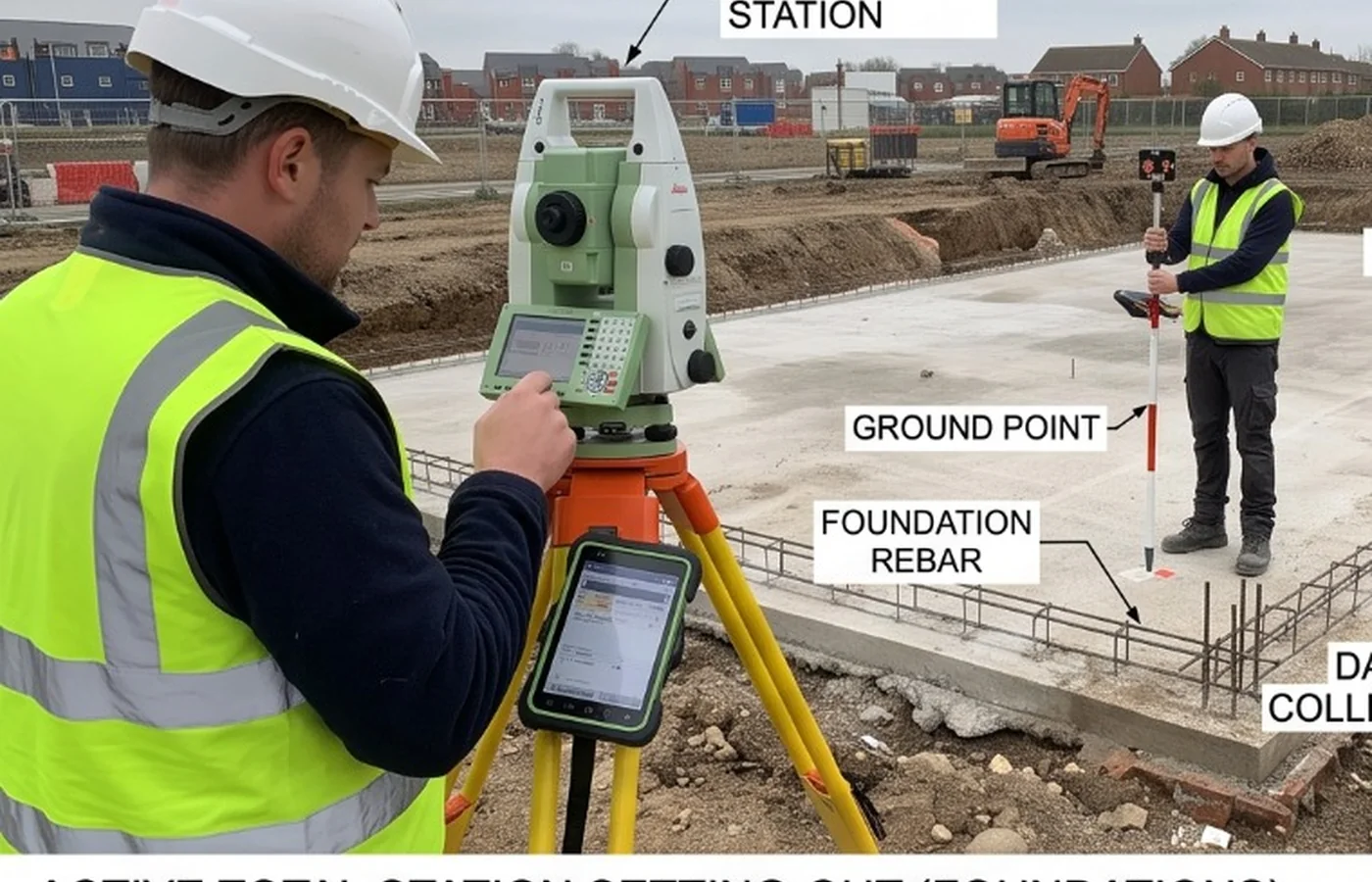
Dense project environments often need a mixed survey approach.
London projects can combine restricted access, existing structures, active construction, local/project grids and design information from multiple disciplines. Aerial photogrammetry may be useful on suitable sites, but total-station and GNSS observations remain important for control, detailed terrestrial features and verification.
- Topographical surveys for construction, engineering and design.
- 2D/3D survey data, levels, CAD and terrain surfaces to agreed scope.
- Survey control and setting out.
- As-built and verification surveys.
- Measured building information.
- Drone mapping on suitable sites, subject to access, airspace, visibility and the required operating conditions.
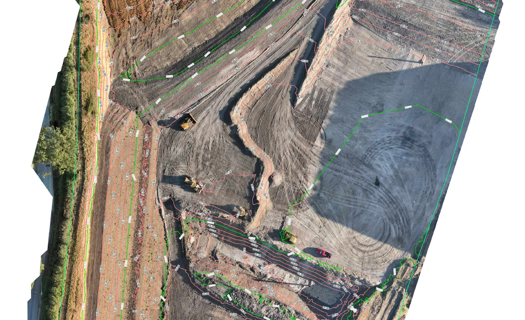
Topographical Surveys
Existing-site levels, features, coordinated 3D data, CAD drawings and terrain surfaces for site and design teams.
View service →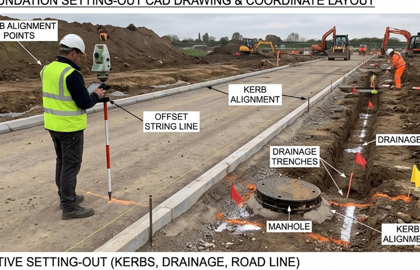
Construction Setting Out
Approved design geometry and levels transferred onto the site for construction.
View service →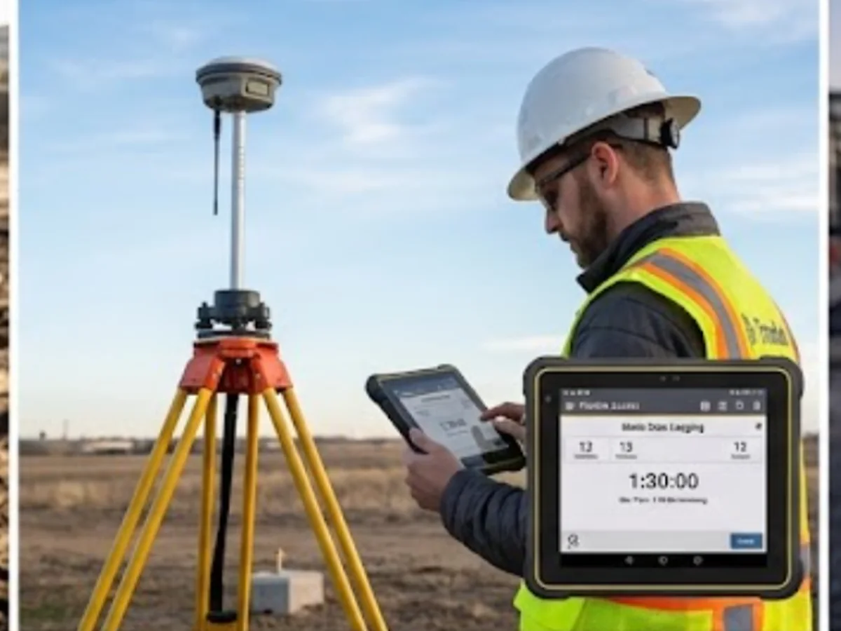
Survey Control & Site Grids
A consistent coordinate and level framework for surveying, setting out, verification and machine-control work.
View service →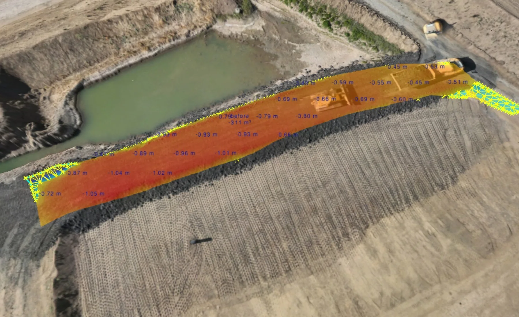
As-Built & Verification Surveys
Measured records of completed work compared with required geometry, levels or supplied design information.
View service →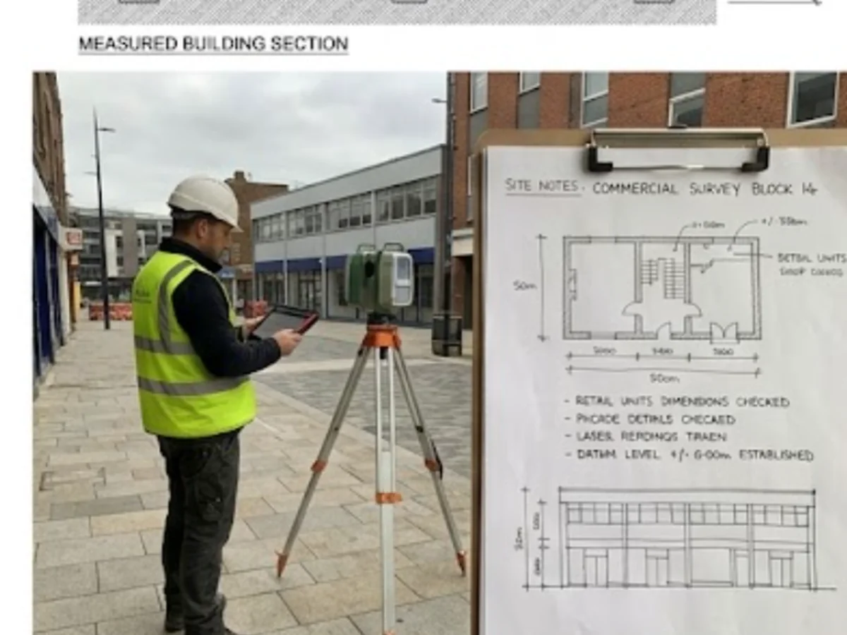
Measured Building Surveys
Existing building geometry and coordinated survey information for design, refurbishment and property projects.
View service →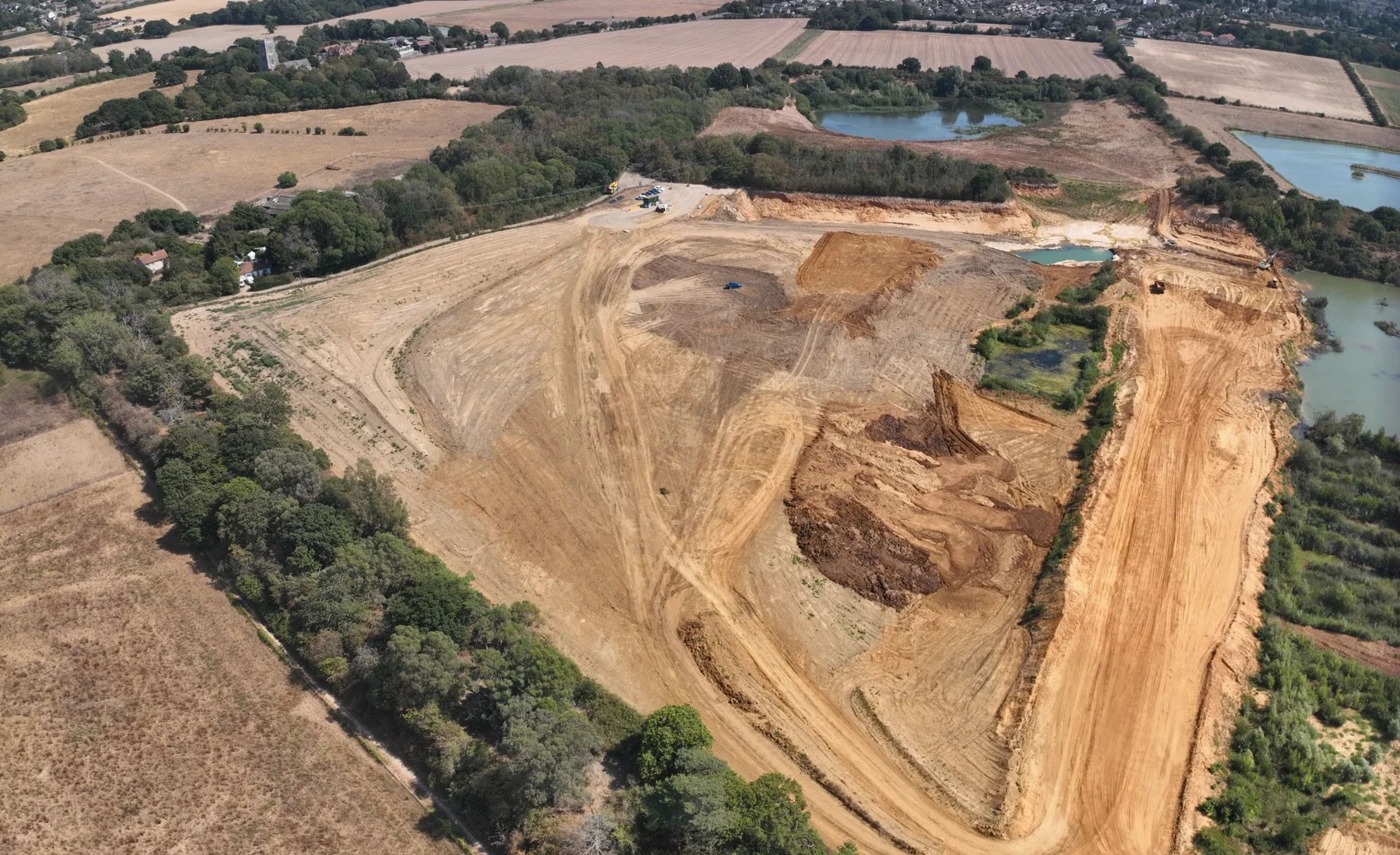
Drone Surveying & Mapping
Aerial survey capture for measurable mapping, terrain, point clouds, quantities and repeat project records.
View service →