
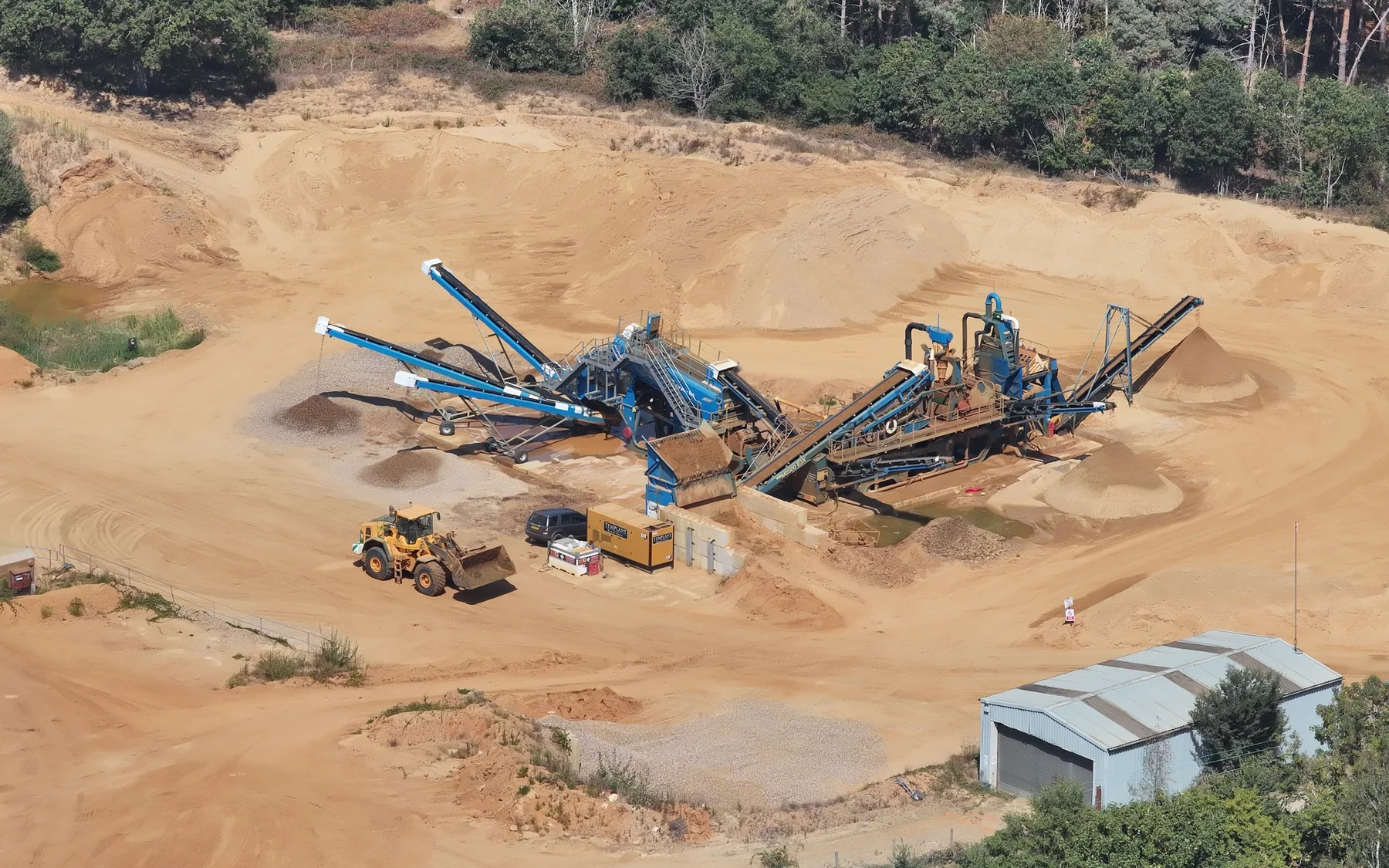
Project sector
Quarrying & Aggregates
Measured site and material information across operational quarry environments.
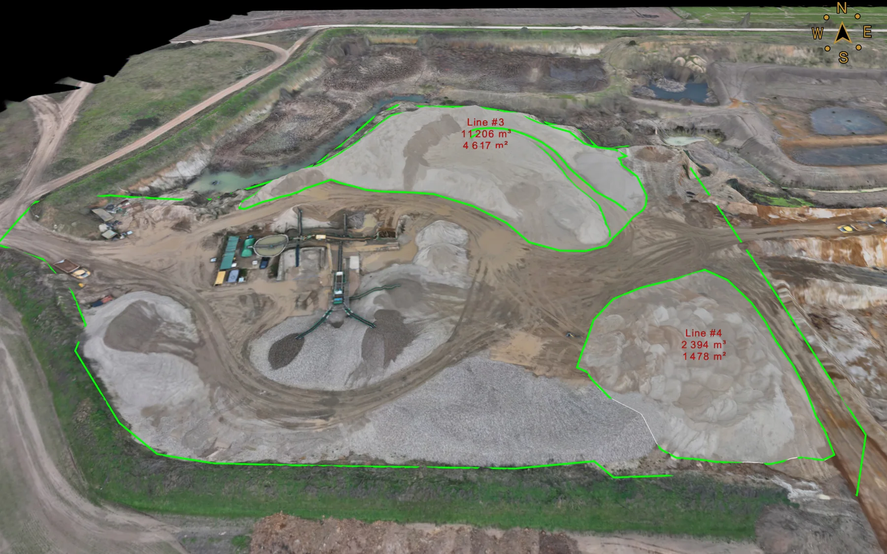
Aerial mapping, stockpile volumes, terrain surveys and repeat material measurement for quarry and aggregate operations.
Survey support
Quarrying & Aggregates projects
We use stockpile surveys, aerial mapping and repeat site measurement to give quarry and aggregate teams current quantities, terrain records and material reconciliation data.
Stockpile inventoryDefined pile boundaries and measured quantities.
Site mappingOrthomosaics, terrain and current-site records.
Repeat surveysComparable material and surface data across agreed dates.
Services
Relevant survey services
Project enquiry
Discuss your quarrying & aggregates survey requirement.
Send the site location, drawings or project brief.