
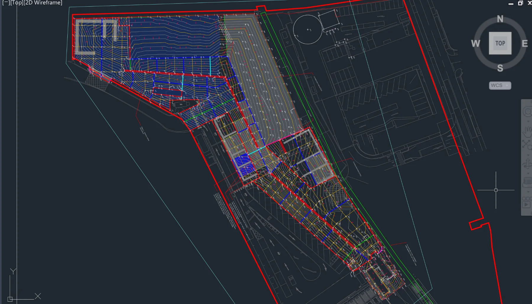
Survey Data & CAD Outputs
Survey data for engineering, design and construction workflows.
CAD, 3D survey geometry, terrain surfaces, orthomosaics, point clouds, quantities and machine-control data to agreed project requirements.
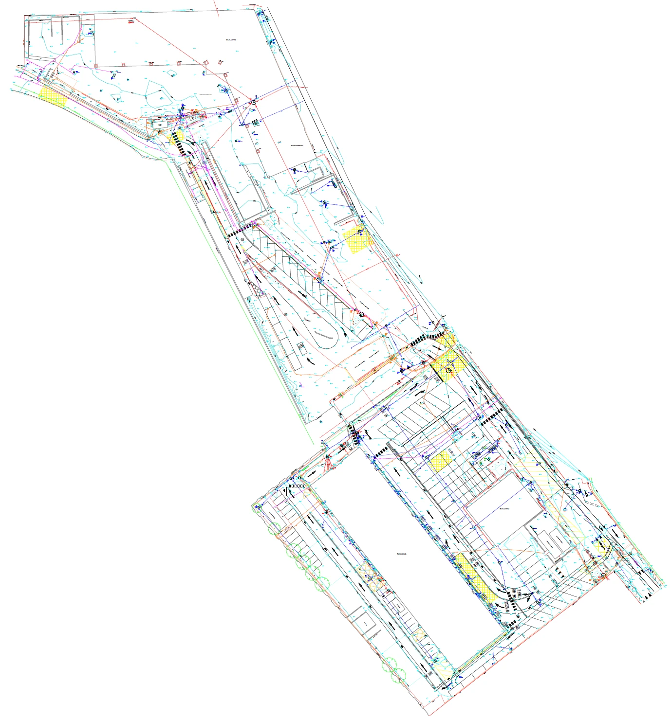
CAD survey drawings
DWG, DXF and plotted survey information to agreed scope.
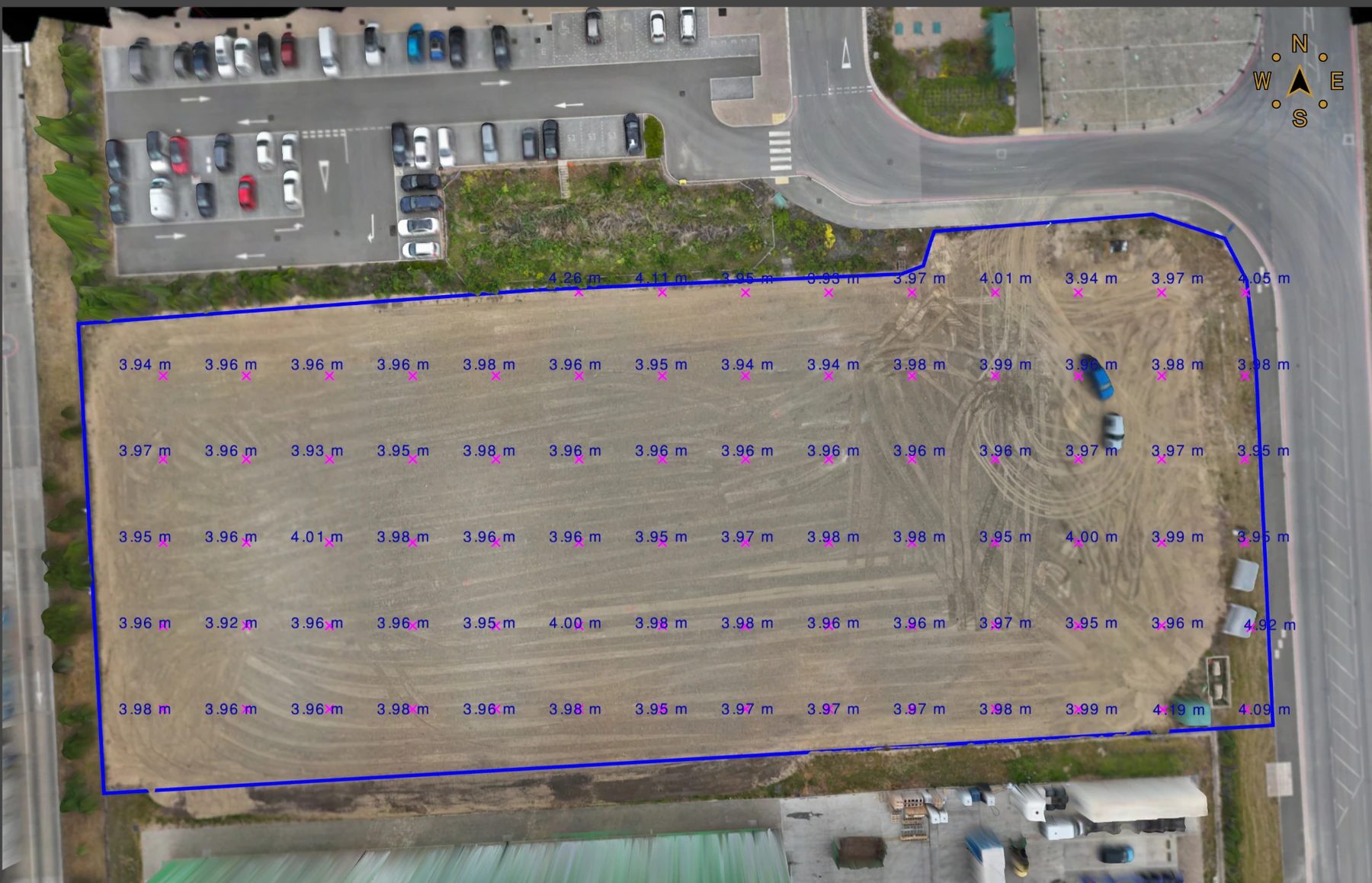
3D survey data
Coordinated points, levels, linework and breaklines for engineering use.
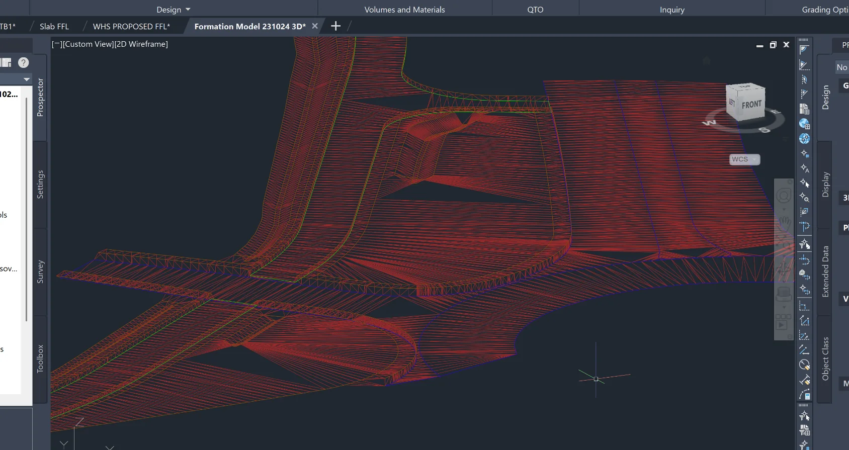
Terrain & construction surfaces
TIN, LandXML and XYZ information for compatible civil-engineering workflows.
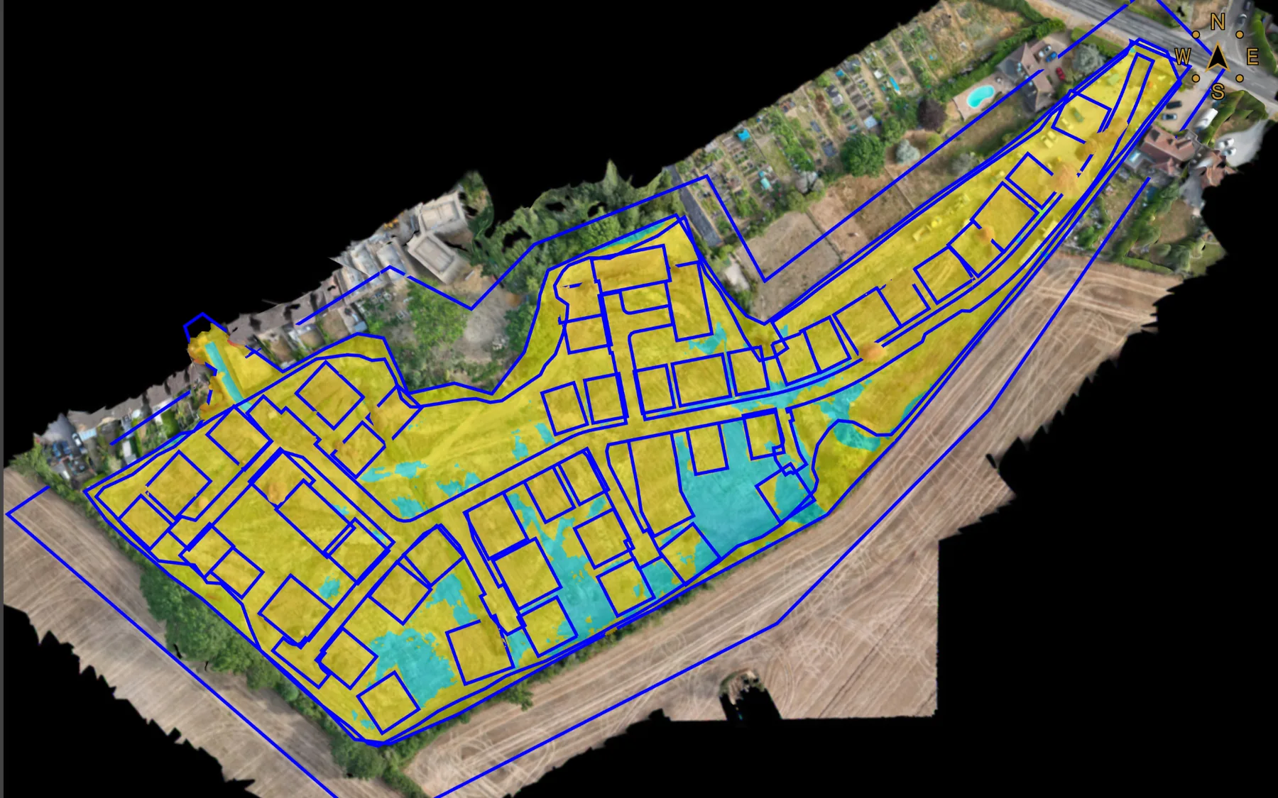
Surface comparisons
Current ground, design, formation and date-to-date analysis.
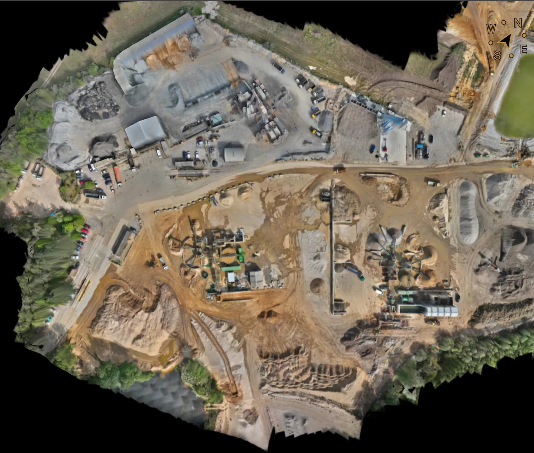
Orthomosaics & point clouds
Georeferenced aerial imagery and photogrammetric 3D data.
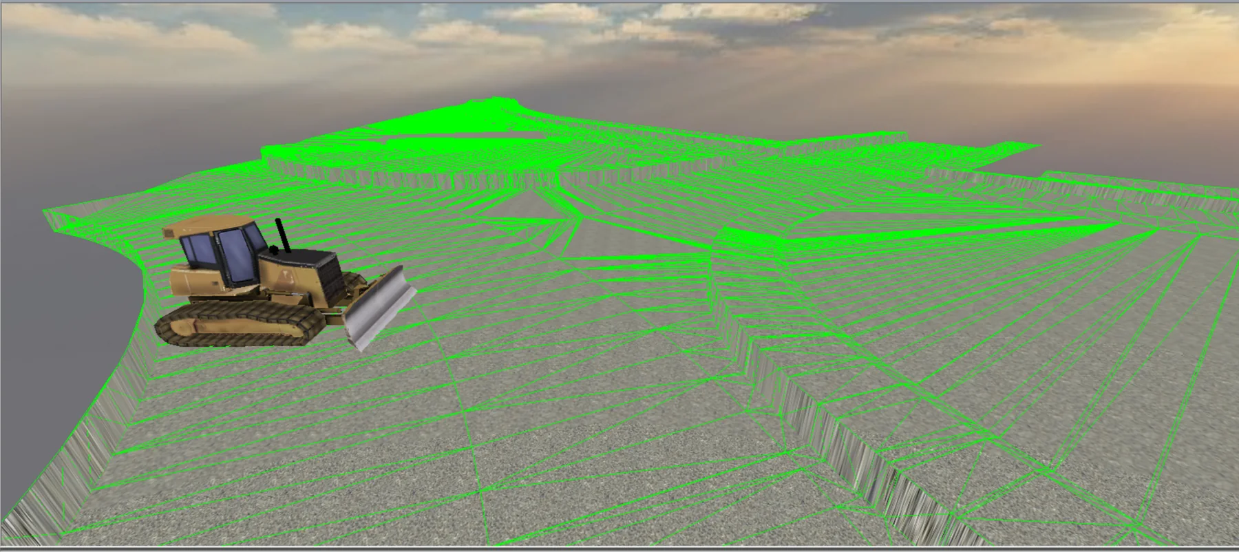
Machine-control models
3D construction surfaces and guidance geometry for compatible systems.
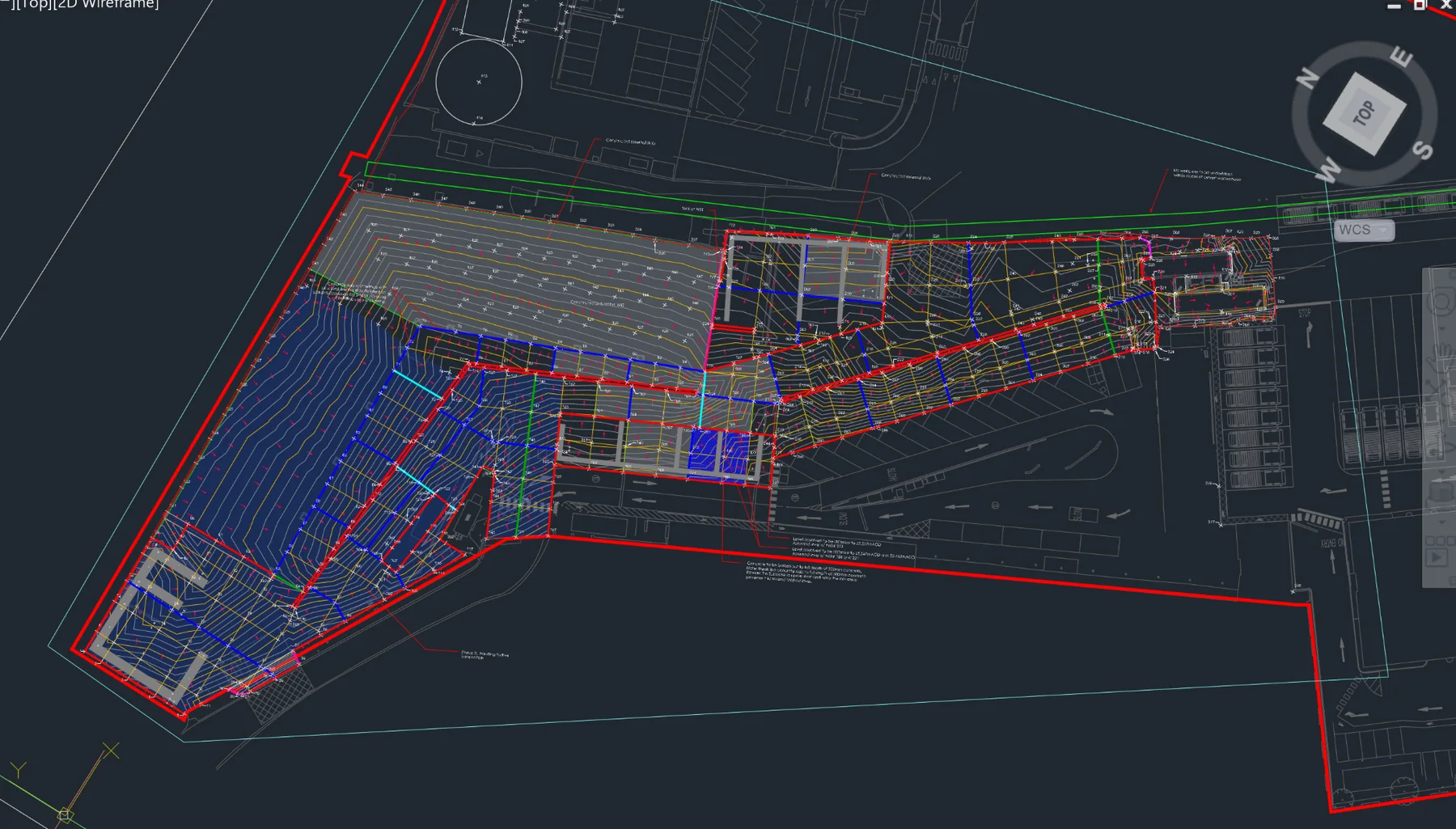
Formats
Typical file formats
DWG / DXF2D and 3D CAD geometry.
LandXMLTerrain and surface exchange for compatible engineering systems.
XYZ / CSVCoordinate and level data.
LAS / LAZ / E57Point-cloud data where required.
GeoTIFFGeoreferenced aerial and raster mapping.
PDFSurvey drawings and reports.
Receiving workflows may include: Trimble Business Center · Autodesk Civil 3D · LSS · Virtual Surveyor · QGIS · compatible machine-control systems.