
Survey, mapping and digital construction terms in plain English.
A practical reference for project teams dealing with topographical surveys, drone mapping, surfaces, point clouds, earthworks and construction data.
Common survey and digital-construction terms.
Definitions below describe how the terms are used on this website. Project specifications and contract documents govern individual commissions.
Topographical survey
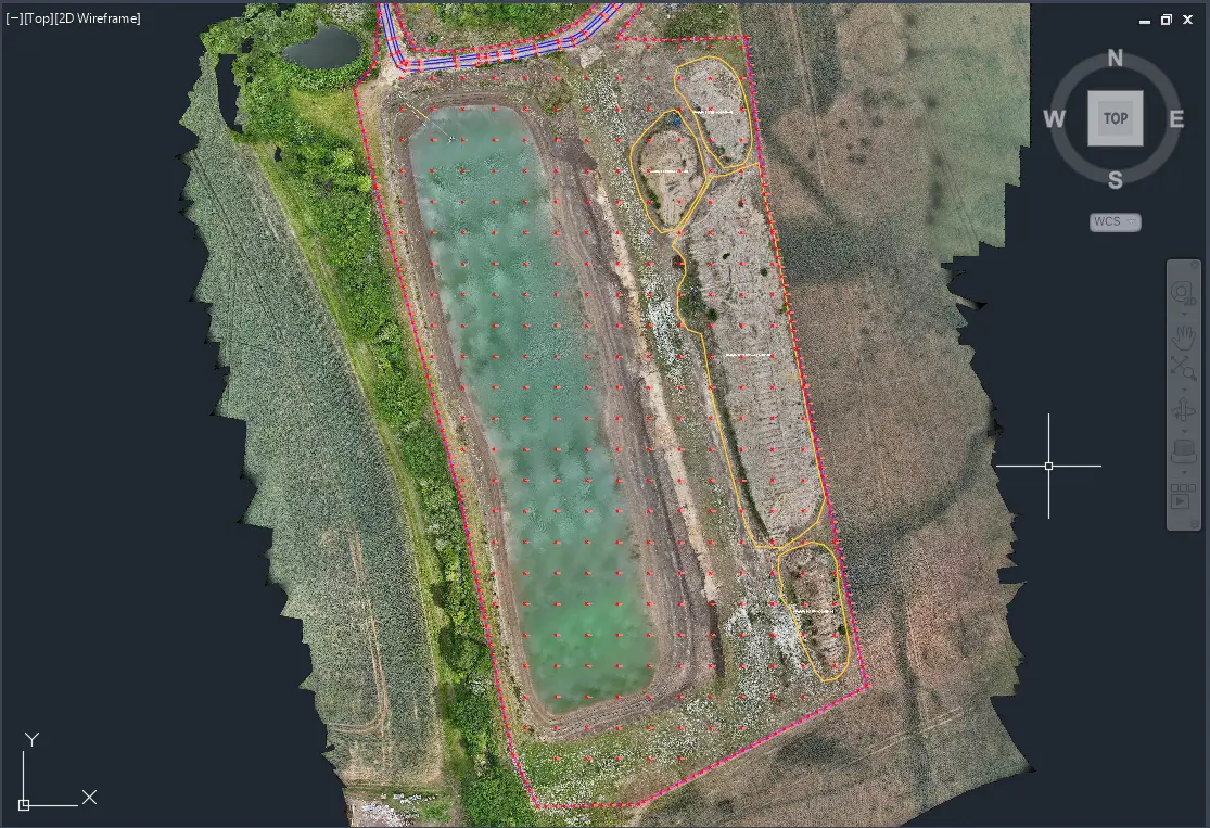
A coordinated spatial record of terrain, levels and agreed existing natural/constructed features for design, construction or other project use.
Breakline
A 3D line used to define an important change in terrain geometry, such as a kerb edge, top/bottom of bank or other slope discontinuity.
TIN
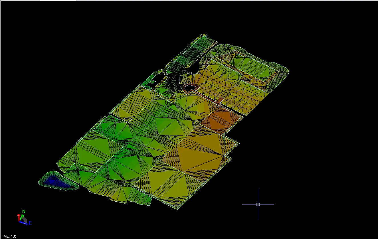
Triangulated Irregular Network: a terrain/surface representation built from 3D points and breaklines connected as triangles.
DTM
Digital Terrain Model: a representation of ground terrain. The exact meaning can vary between software/workflows, so deliverables should be defined rather than relying only on the acronym.
DSM
Digital Surface Model: a surface representing visible top surfaces, which can include buildings, vegetation or other objects as well as ground.
Orthomosaic
A composite aerial image made from overlapping photographs that has been geometrically corrected and georeferenced so it can be used like a map.
Point cloud
A collection of three-dimensional points representing visible or measured surfaces. Point clouds can come from photogrammetry, LiDAR or terrestrial scanning; the acquisition method matters.
Photogrammetry
The reconstruction and measurement of 3D information from overlapping photographs taken from different viewpoints.
LiDAR
A laser-based ranging technology that directly measures distances. It is a different acquisition method from photogrammetry.
RTK
Real-Time Kinematic GNSS positioning using corrections to improve positioning precision during observation.
Survey control
Stable coordinate and level references used to keep field surveys, setting out, aerial mapping and construction data in one consistent spatial framework.
LandXML
An exchange format commonly used for terrain surfaces, alignments and other civil engineering geometry between compatible systems.
Cut & fill
The spatial difference between a measured/current surface and an agreed reference/design surface, usually separated into material above and below the reference.
As-built survey
Measurement of selected completed work to record actual position, level or geometry, optionally compared against approved design information.
Machine-control model
A prepared 3D surface and/or linework dataset used by compatible machine-guidance systems and built from approved project design information.
Materials Management Plan (MMP)
A project materials-management document used within the relevant regulatory/environmental framework. Survey support can provide spatial and quantitative records such as stockpile volumes, material zones, repeat surveys and quantity reconciliation.
Local grid
A project-specific coordinate system used instead of or in addition to a national mapping grid. The relationship must be understood before combining datasets.
OSGB / national grid
The Ordnance Survey National Grid reference framework used for mapping in Great Britain. Appropriate transformations and vertical datums must be handled correctly for survey use.