
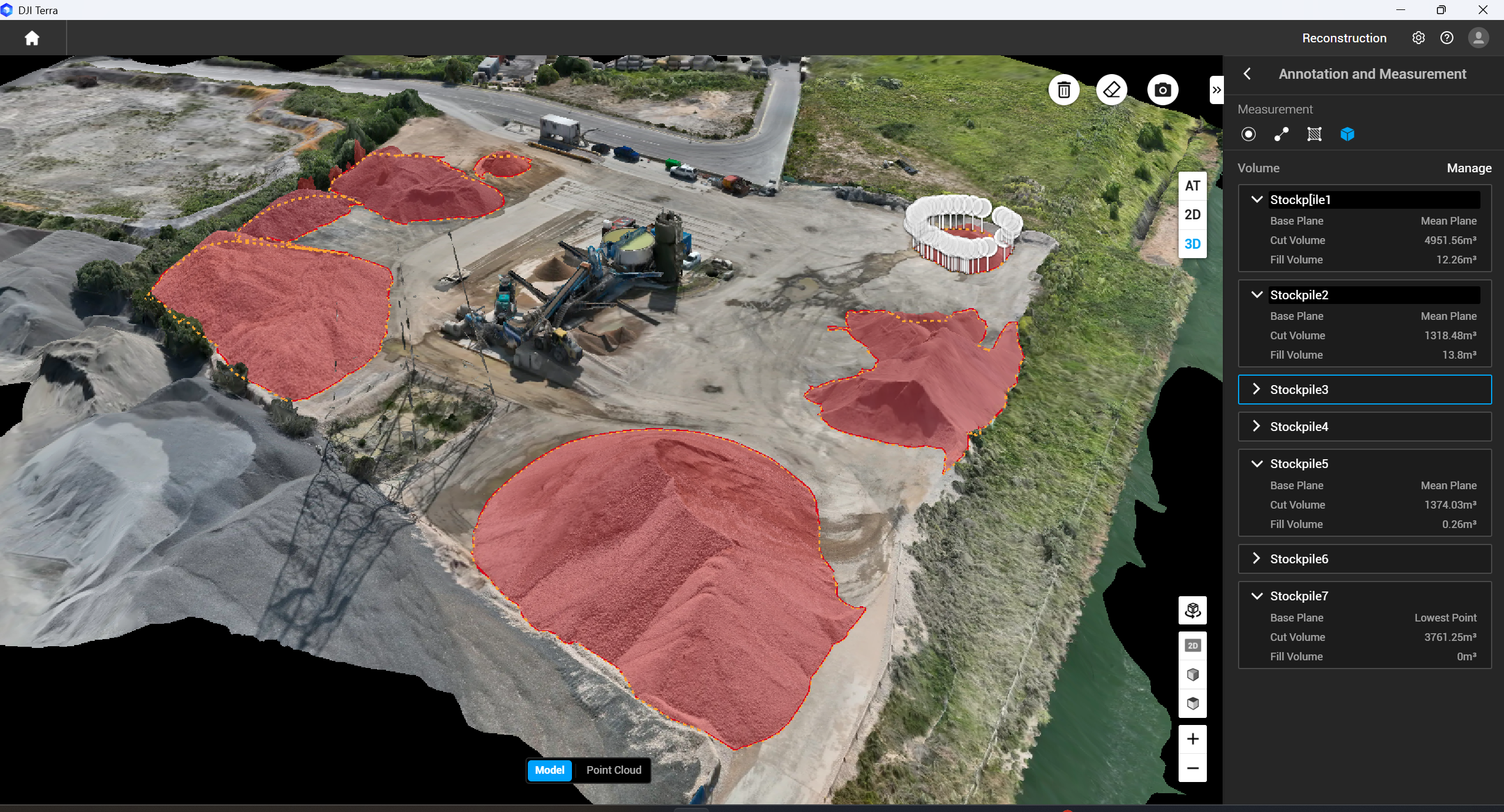
Materials Management Plan (MMP) Survey Support
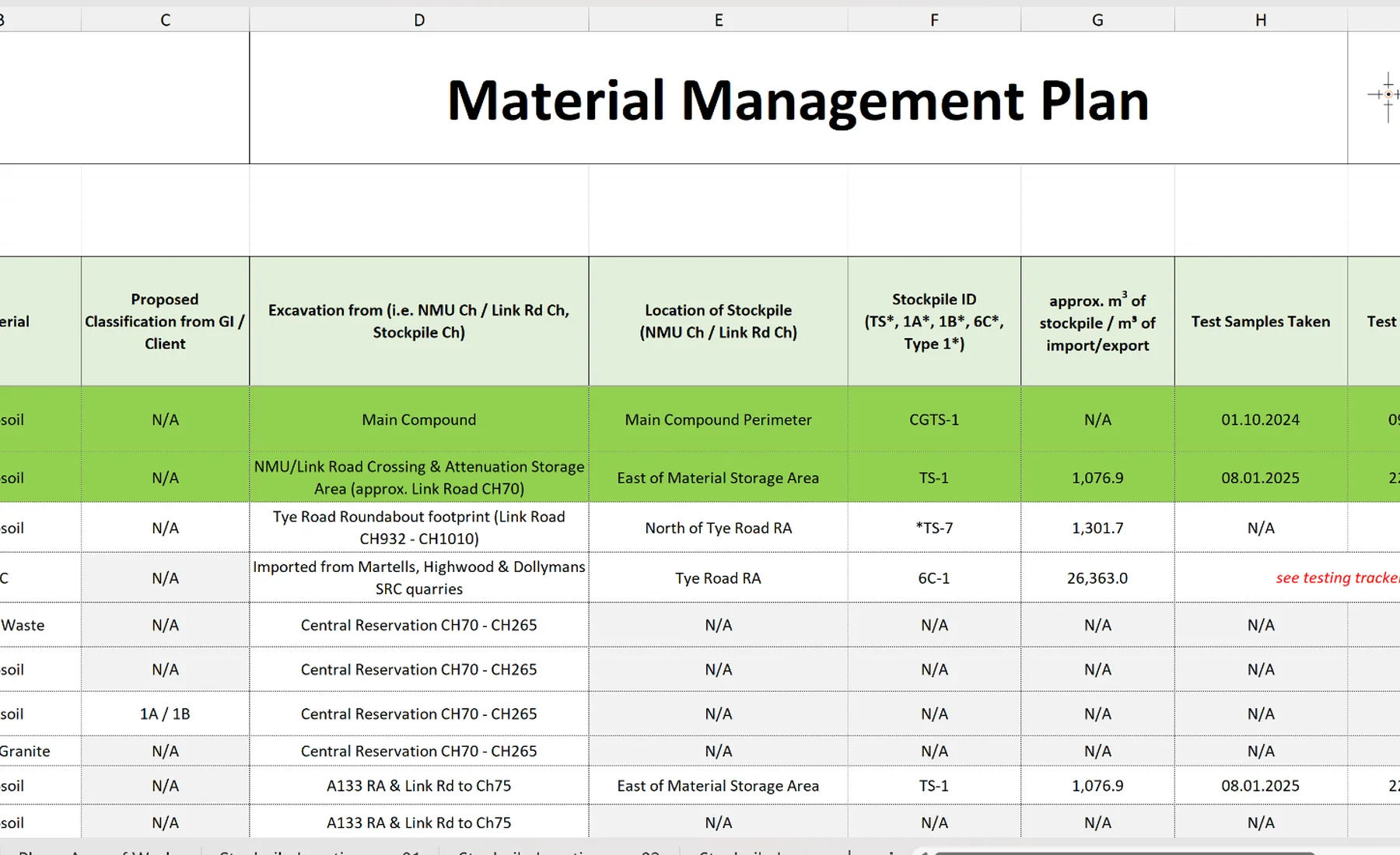
We provide measured survey records and material-volume evidence to support the Materials Management Plan process.
Measured evidence for the MMP process
We survey the relevant material areas and stages so quantities, locations and changes are supported by consistent spatial records.
The survey evidence can support material tracking, reuse records and defined earthworks stages within the wider MMP process.
Formal MMP preparation, material suitability decisions and the Qualified Person declaration are outside the survey service.
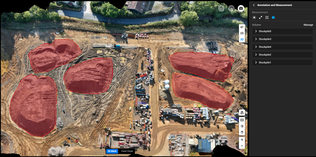
Where this is used
Common applications within construction, earthworks, development and survey workflows.
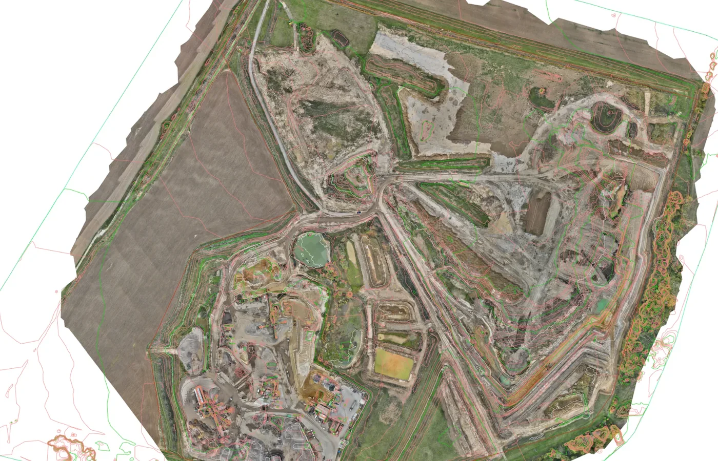
Baseline survey
Existing-ground and initial site records before bulk material movement.
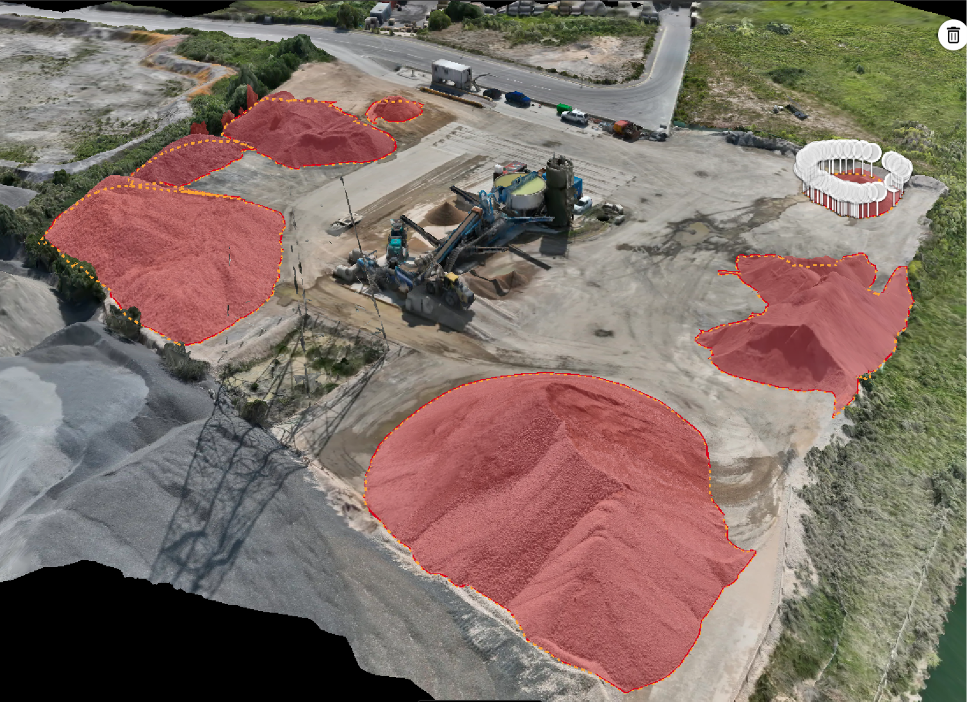
Stockpile inventory
Mapped stockpile boundaries and measured material volumes.
View related service →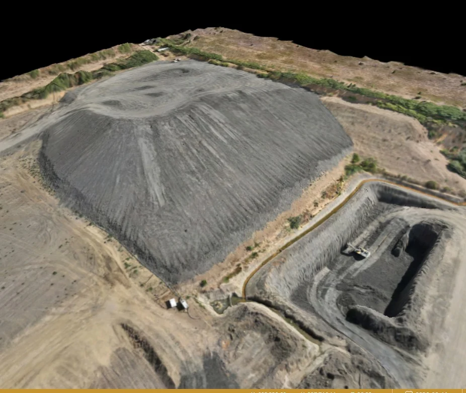
Excavation & placement zones
Spatial records of agreed material areas and current surveyed conditions.
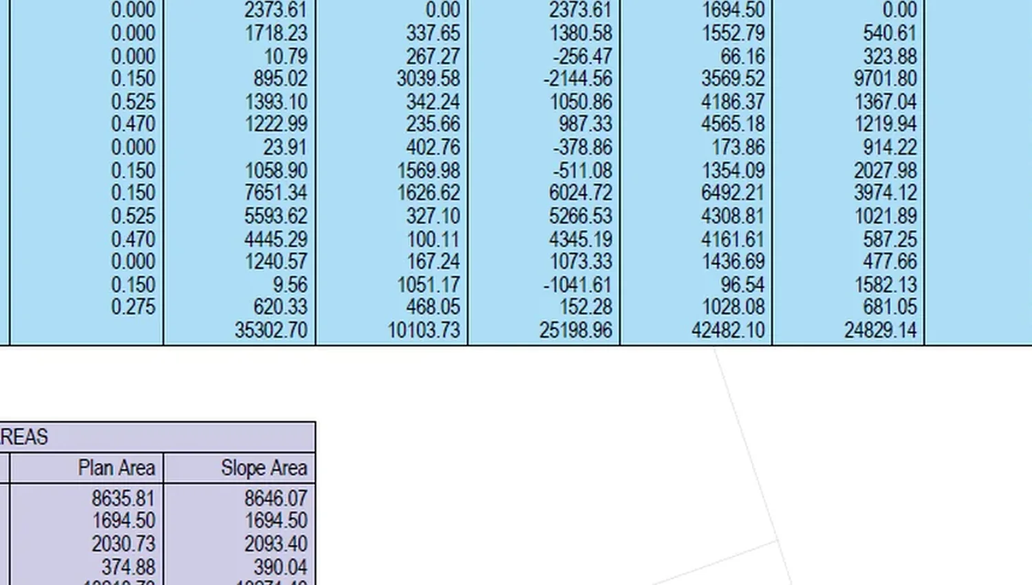
Phase quantity reconciliation
Compare stockpiles, current surfaces and movement records between defined stages.
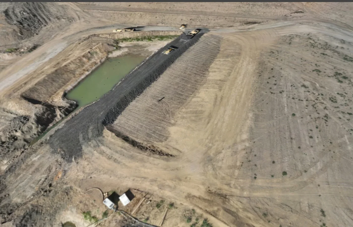
Formation & construction layers
Survey agreed earthworks or capping stages where records are required before subsequent works.
View related service →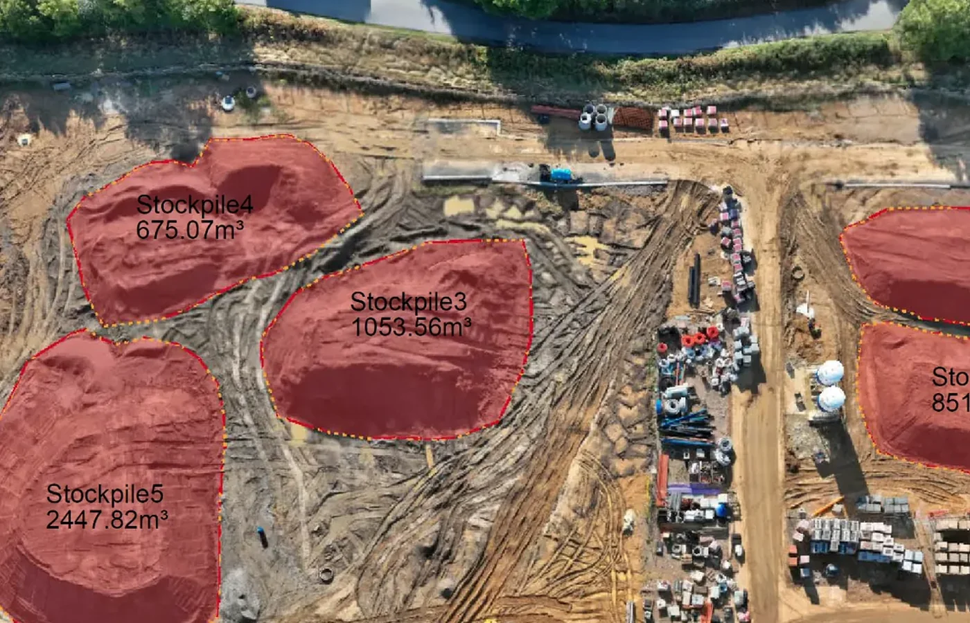
Close-out survey evidence
Provide mapped and quantitative survey records for final project reconciliation and verification.
What you receive
Survey records for material tracking and reconciliation
This service covers the spatial and quantitative survey information used within the Materials Management Plan process. Formal MMP preparation, material suitability decisions and the Qualified Person declaration are not included in the survey service.
How we deliver it
We plan the sequence around the project brief, programme and required deliverables.
Review the MMP survey requirements
Confirm the material zones, survey stages, stockpile identifiers, reporting format and project control.
Establish baseline
Survey existing ground and any initial material holdings relevant to the tracking process.
Record material stages
Survey excavation, stockpiles, placement areas and agreed construction layers through the programme.
Calculate quantities
Prepare stockpile volumes, surface comparisons and other agreed survey quantities.
Reconcile records
Relate survey outputs to the project material-tracking schedule and defined phase records.
Issue verification information
Provide final mapped and quantitative survey evidence required for project reconciliation or close-out.
Materials Management Plan (MMP) Survey Support FAQ
What survey information can support a Materials Management Plan?
Typical survey inputs include baseline terrain, excavation and placement zones, stockpile locations and volumes, repeat phase surveys, current surfaces, cut/fill quantities and mapped records used for material tracking and reconciliation.
Does GRID Surveying prepare or certify the complete CL:AIRE MMP?
No. This service covers the surveying, spatial and quantitative evidence that can support an MMP. Formal Materials Management Plan preparation, material suitability decisions and the Qualified Person declaration are outside this survey service.
Can stockpiles be tracked through the project?
Yes. Defined stockpiles can be surveyed at agreed stages, identified consistently and included in quantity schedules or mapped records to support material tracking.
Can formation or capping stages be recorded as part of the survey support?
Yes. Where required by the project, agreed construction layers can be surveyed before subsequent works proceed, providing a controlled spatial record for the material-management and construction programme.
Tell us what you need for Materials Management Plan (MMP) Survey Support.
Send the site location, drawings, specification or a short description of the work. We’ll review what needs surveying and the project information your team needs back.