
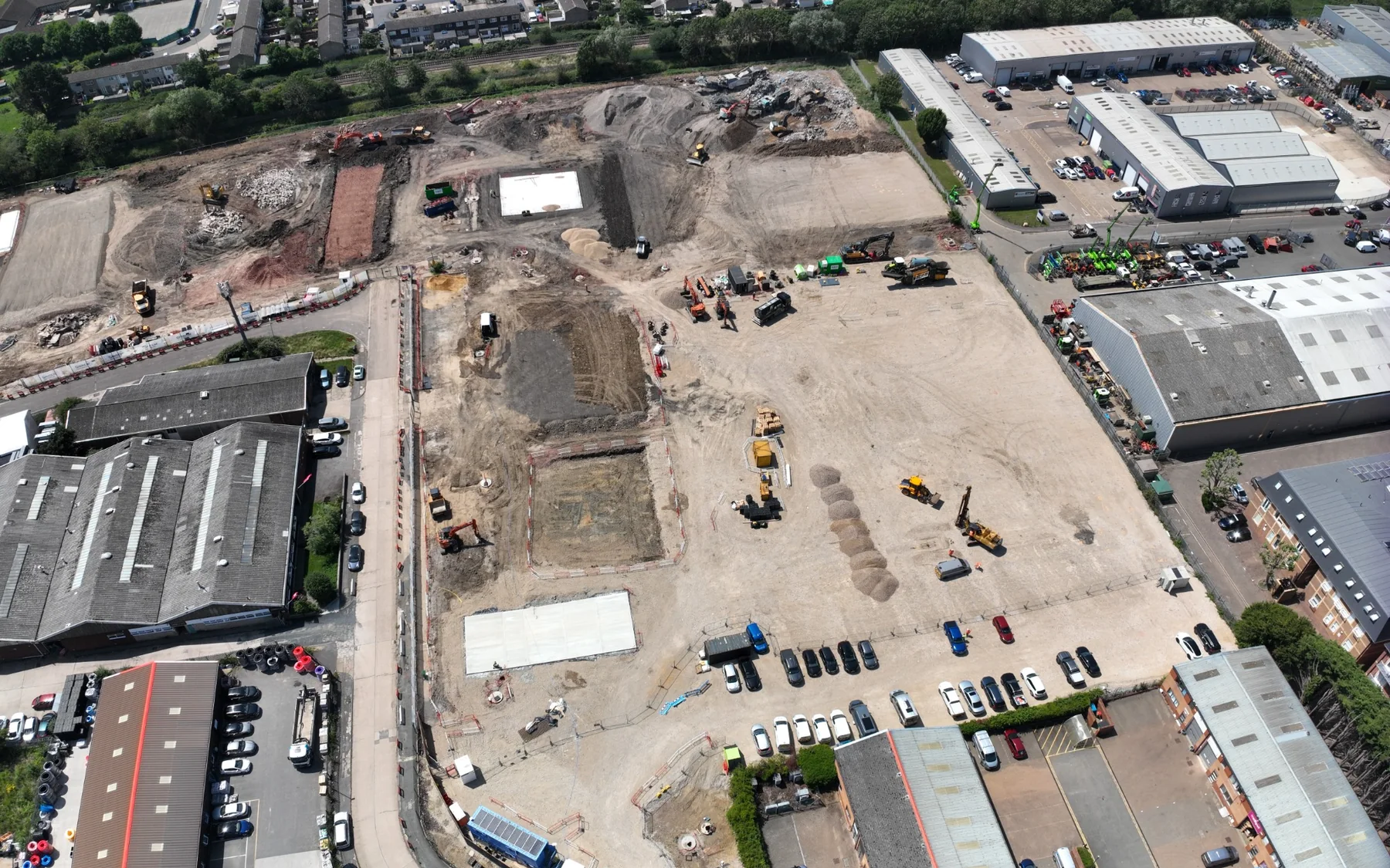
GRID Surveying
We bring field surveying, drone capture and working 3D data together for construction, earthworks and development projects.
Surveying and project data from field measurement through to delivery.
GRID Surveying combines more than 20 years of professional surveying experience with the field, drone and 3D data workflows used on active construction, earthworks and development projects. We measure the site, process the survey and prepare the drawings, surfaces, quantities and models around how the project team needs to use them.
We work across Essex, London and the South East, from existing-site surveys and construction setting out to earthworks quantities, drone mapping and machine-control models. We assess wider mobilisation against the project scope.
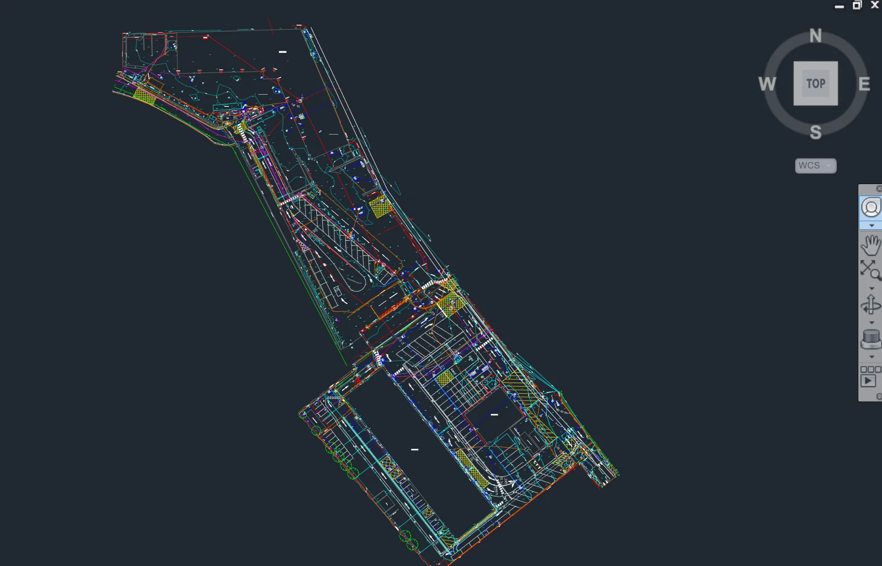
Field survey, aerial mapping and engineering data
We select field methods and processing workflows to suit the project brief and the information your team needs.
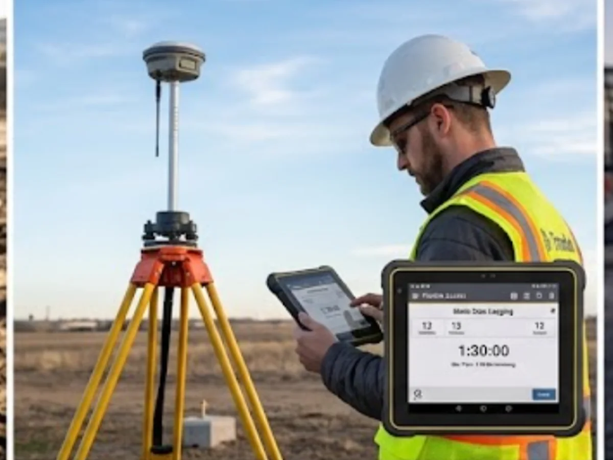
Ground surveying
GNSS and total-station control, detail, setting out and verification.
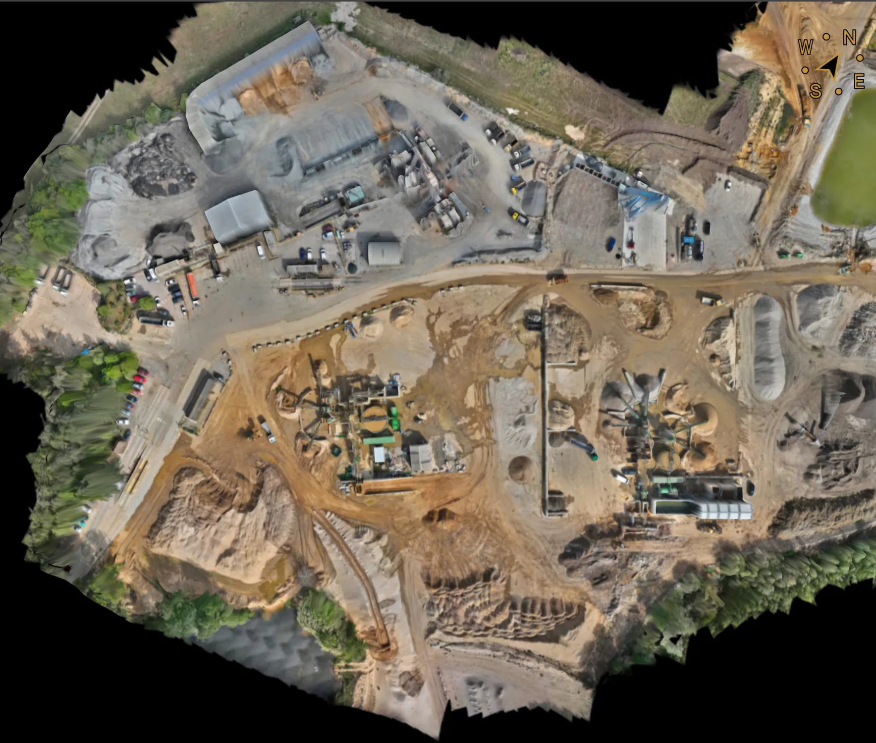
Aerial surveying
Photogrammetric mapping, terrain, stockpile and progress applications on suitable sites.
Engineering data
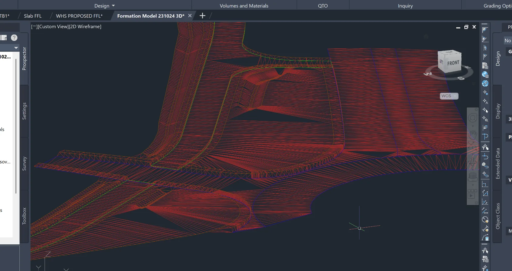
CAD, terrain surfaces, quantities, comparisons and machine-control modelling.