
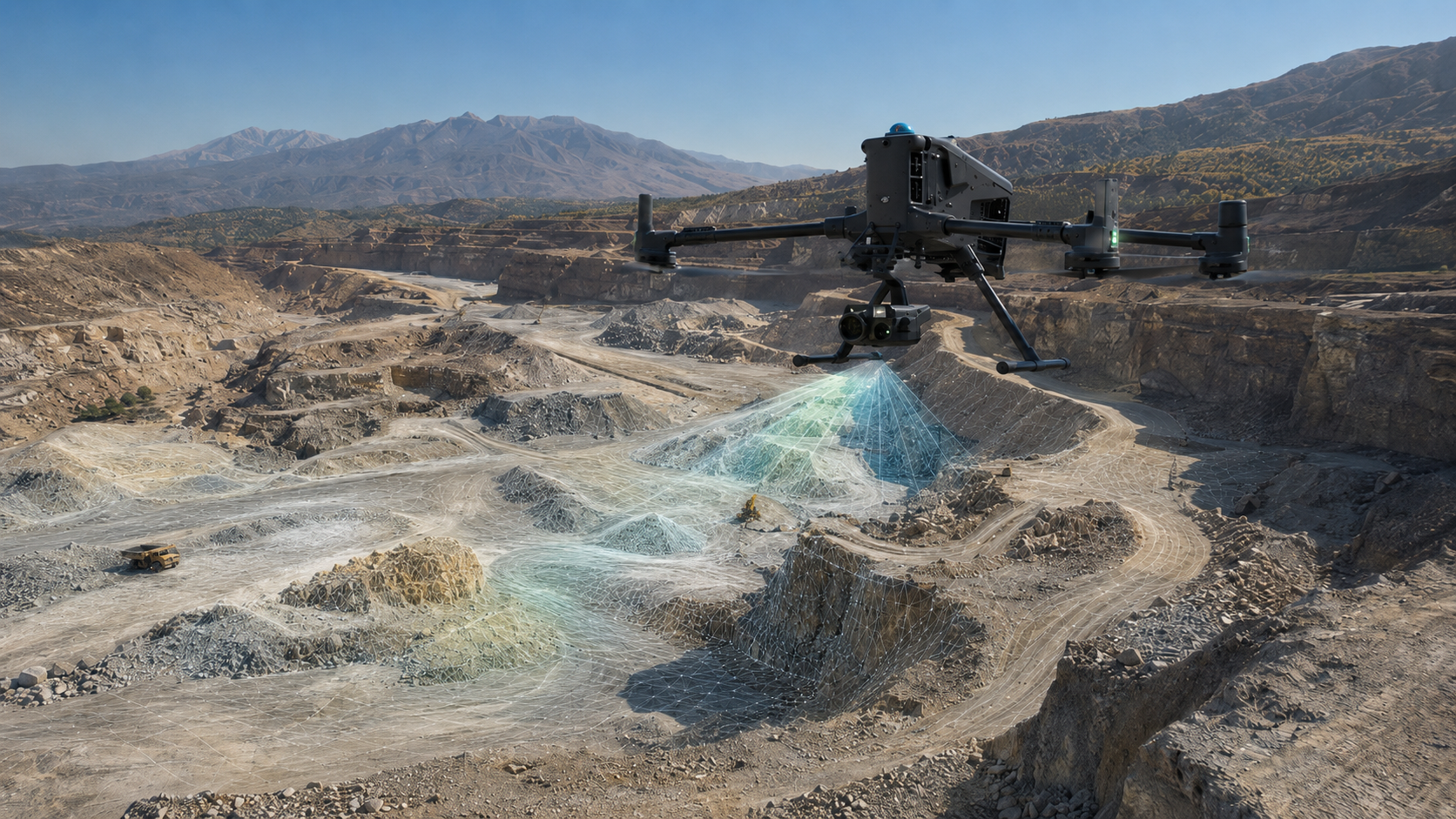
Drone Surveying & Mapping
We capture large sites from the air and turn the survey into measurable mapping, terrain, point clouds and repeat site data.
Aerial survey data with a clear project use
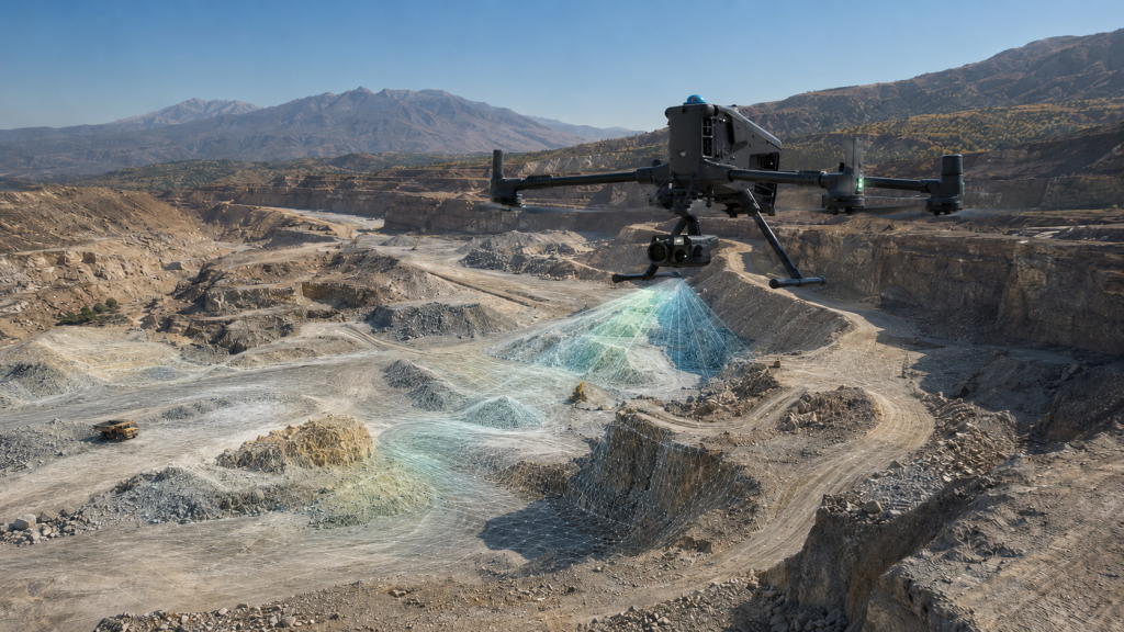
We use controlled aerial photogrammetry to capture dense visible-surface information across suitable sites, then process it into survey data the project team can measure and use.
The same capture can support orthomosaics, terrain modelling, stockpile measurement, cut/fill analysis, progress records and photogrammetric point clouds, depending on the required project output.
Where this is used
Common applications within construction, earthworks, development and survey workflows.
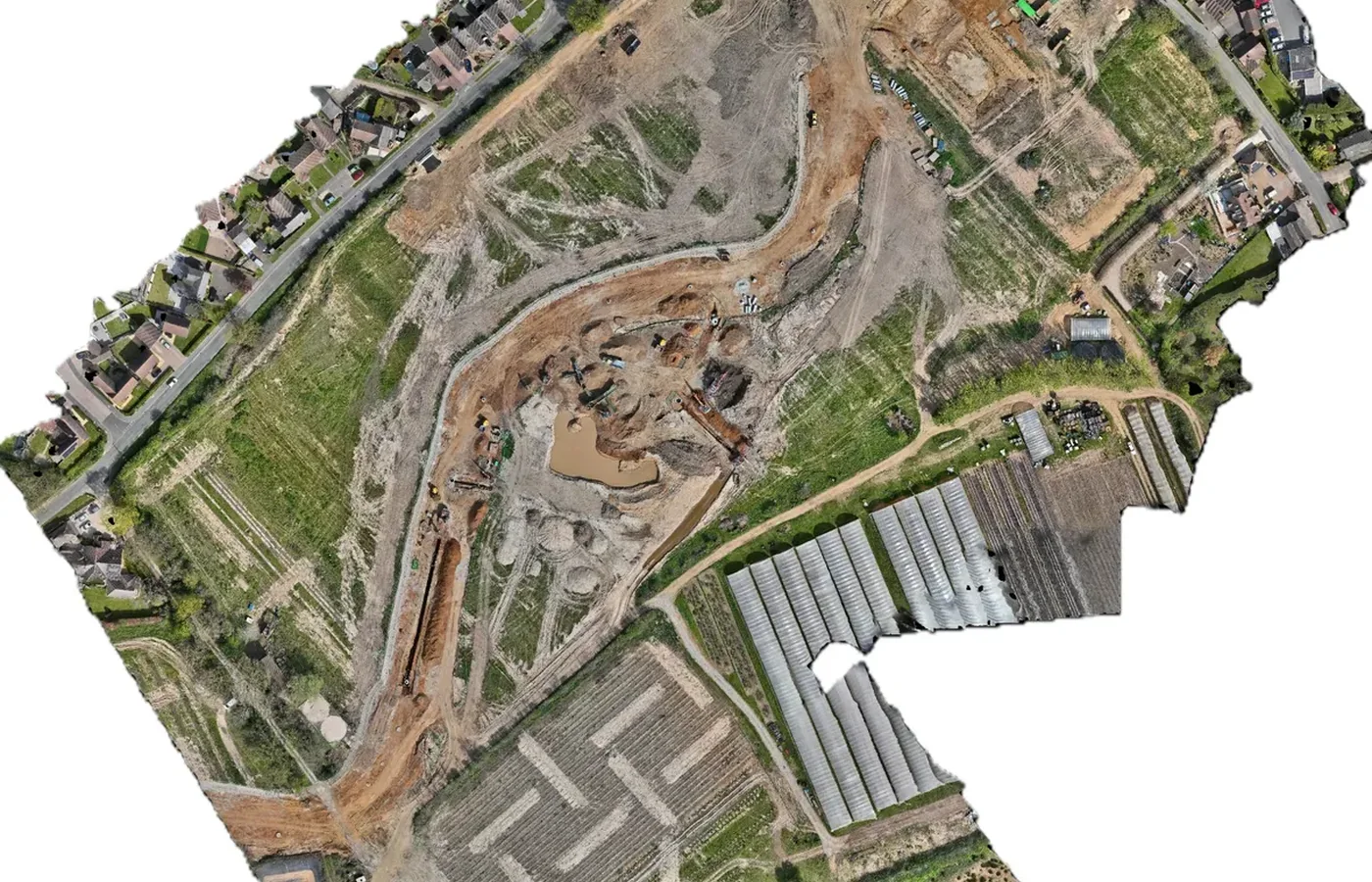
Aerial mapping & orthomosaics
High-resolution georeferenced plan imagery for project mapping and review.
View related service →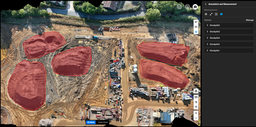
Stockpile volumes
Survey visible material stockpiles and calculate quantities against an agreed base or reference.
View related service →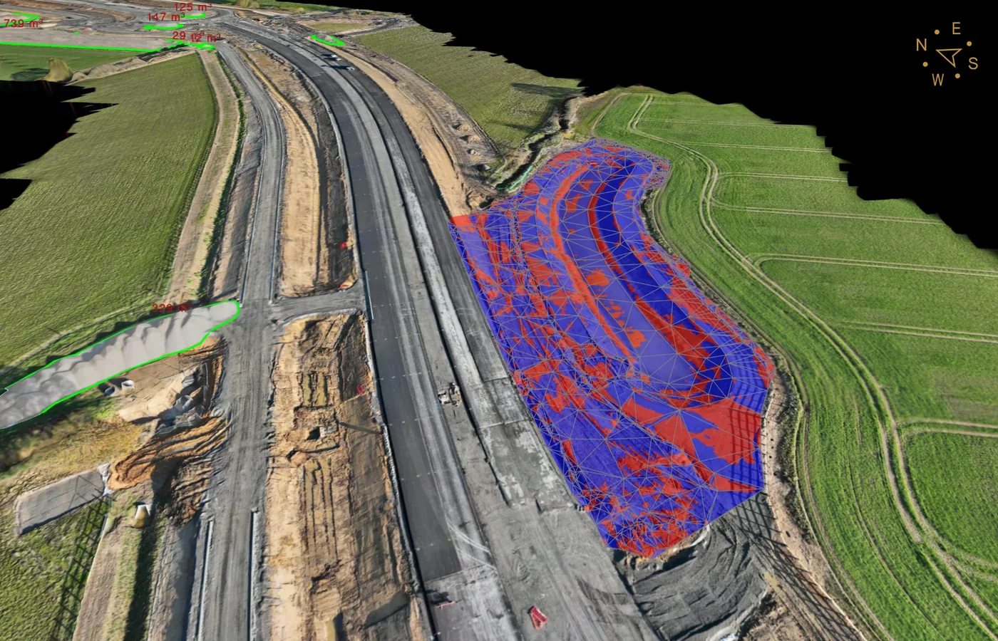
Cut & fill
Compare current survey surfaces against design, formation or previous survey data.
View related service →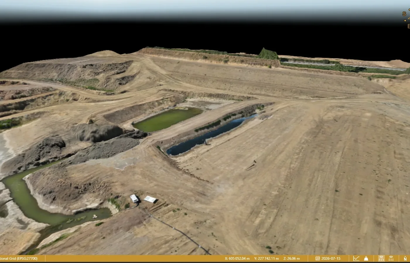
Construction progress
Repeat capture at agreed phases to record measurable site change.
View related service →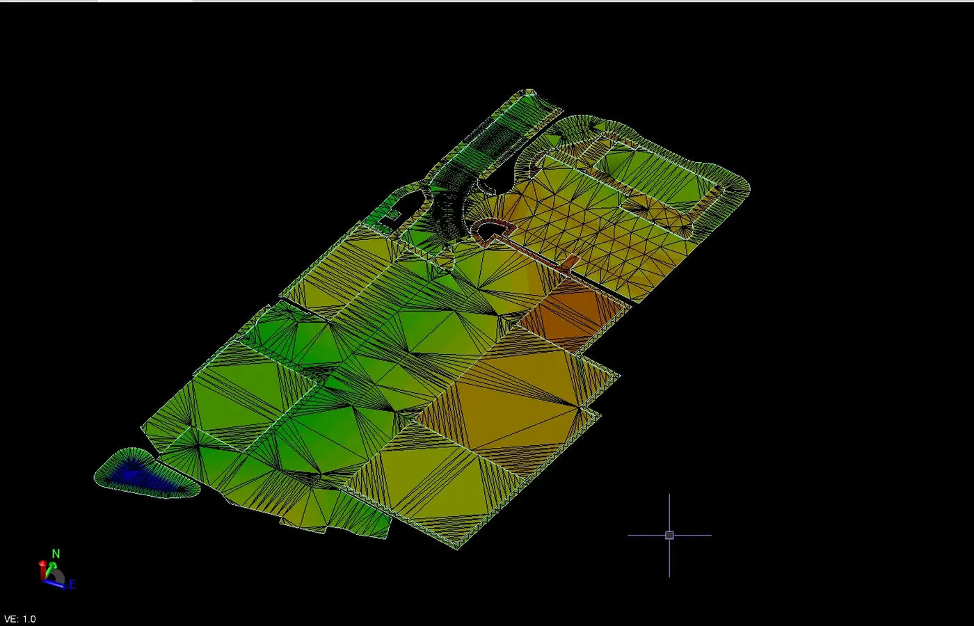
3D site models & point clouds
Photogrammetric 3D data for measurement, terrain processing and engineering workflows.
View related service →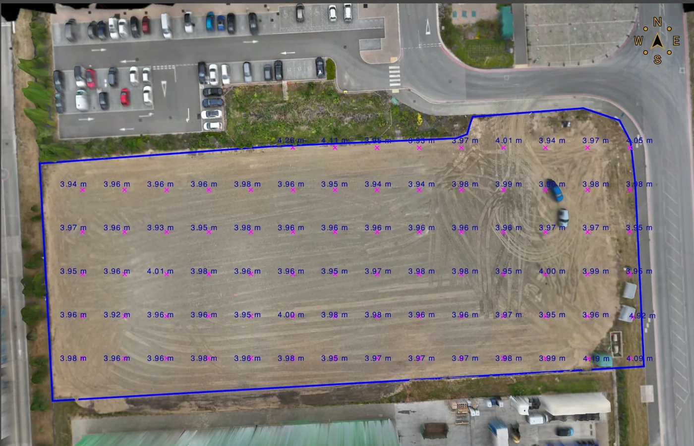
Topographical surveying
Aerial capture can form part of a topographical survey where site conditions and required detail are suitable.
View related service →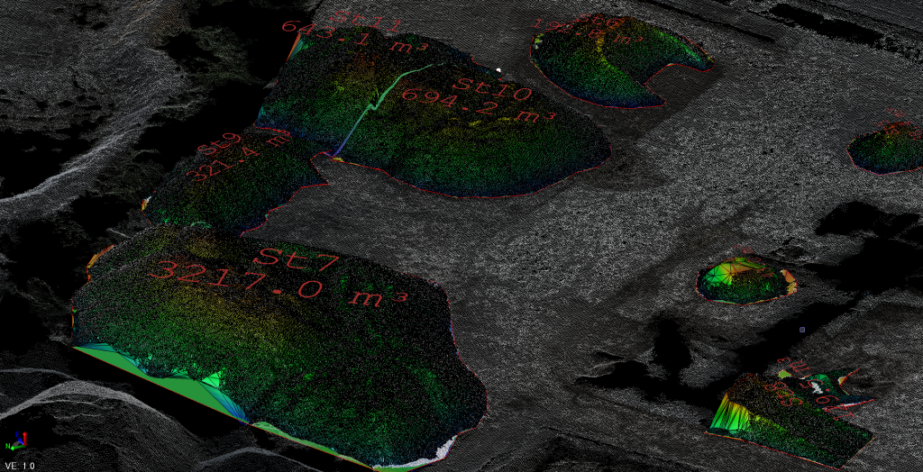
What you receive
How we deliver it
We plan the sequence around the project brief, programme and required deliverables.
Define outputs
Confirm the mapping, quantity, progress or 3D information required.
Plan the survey
Review access, airspace, control, visibility and flight requirements.
Capture
Acquire overlapping aerial imagery and supporting survey observations where required.
Process
Generate orthomosaics, point clouds and surface data appropriate to the scope.
Check
Apply the agreed control and survey checks before final issue.
Deliver
Prepare the required mapping, surfaces, CAD, quantities or progress outputs.
Drone Surveying & Mapping FAQ
What can a drone survey produce?
Depending on the project, outputs can include georeferenced orthomosaics, photogrammetric point clouds, terrain or surface models, CAD survey data, stockpile volumes, cut/fill information and repeat progress records.
How accurate is drone surveying?
Survey performance depends on capture geometry, image quality, positioning, project control, checks, surface visibility and the intended output. Accuracy requirements should be agreed around the project use.
Does drone surveying replace ground surveying?
Drone photogrammetry is well suited to dense visible-surface capture. Ground observations remain important for hidden features, detail obscured by vegetation, underground information, control and other project-specific requirements.
What files can be supplied?
Common outputs include GeoTIFF, LAS/LAZ/E57, DWG/DXF, LandXML, XYZ and PDF, depending on the agreed deliverables.
Tell us what you need for Drone Surveying & Mapping.
Send the site location, drawings, specification or a short description of the work. We’ll review what needs surveying and the project information your team needs back.