
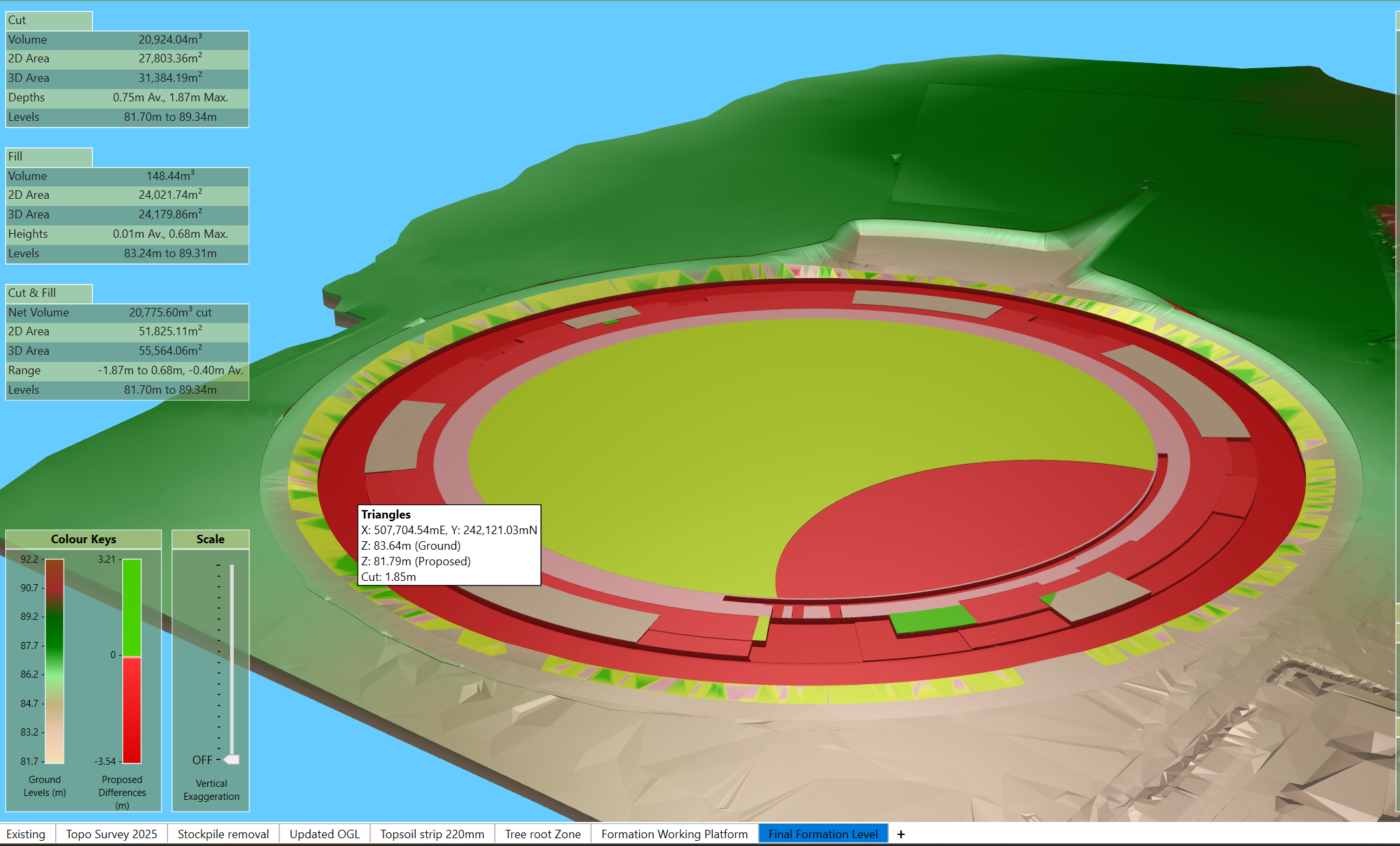
Cut & Fill Surveys
We compare current and reference surfaces to show where material is cut, where it is filled and what remains to move.
Know what has moved and what remains
We survey the current ground or construction surface and compare it with the defined design, formation or previous survey surface.
The result shows measured cut and fill quantities and mapped differences within the agreed calculation boundary.
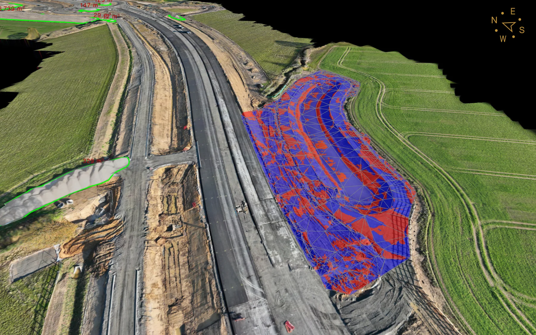
Where this is used
Common applications within construction, earthworks, development and survey workflows.
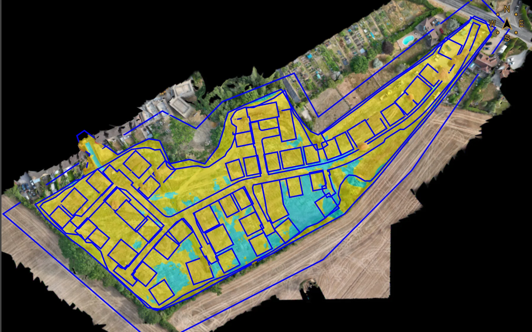
Bulk earthworks
Existing/current ground against proposed earthworks or formation surfaces.
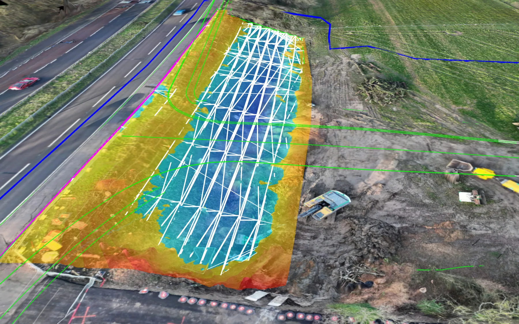
Infrastructure earthworks
Surface analysis along roads, corridors and construction interfaces.
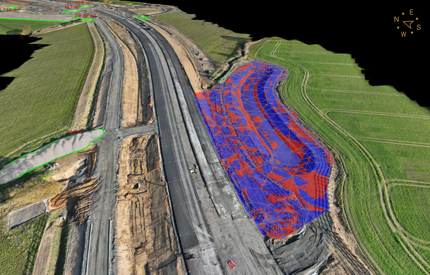
Progress quantities
Survey-to-survey comparison between defined stages.
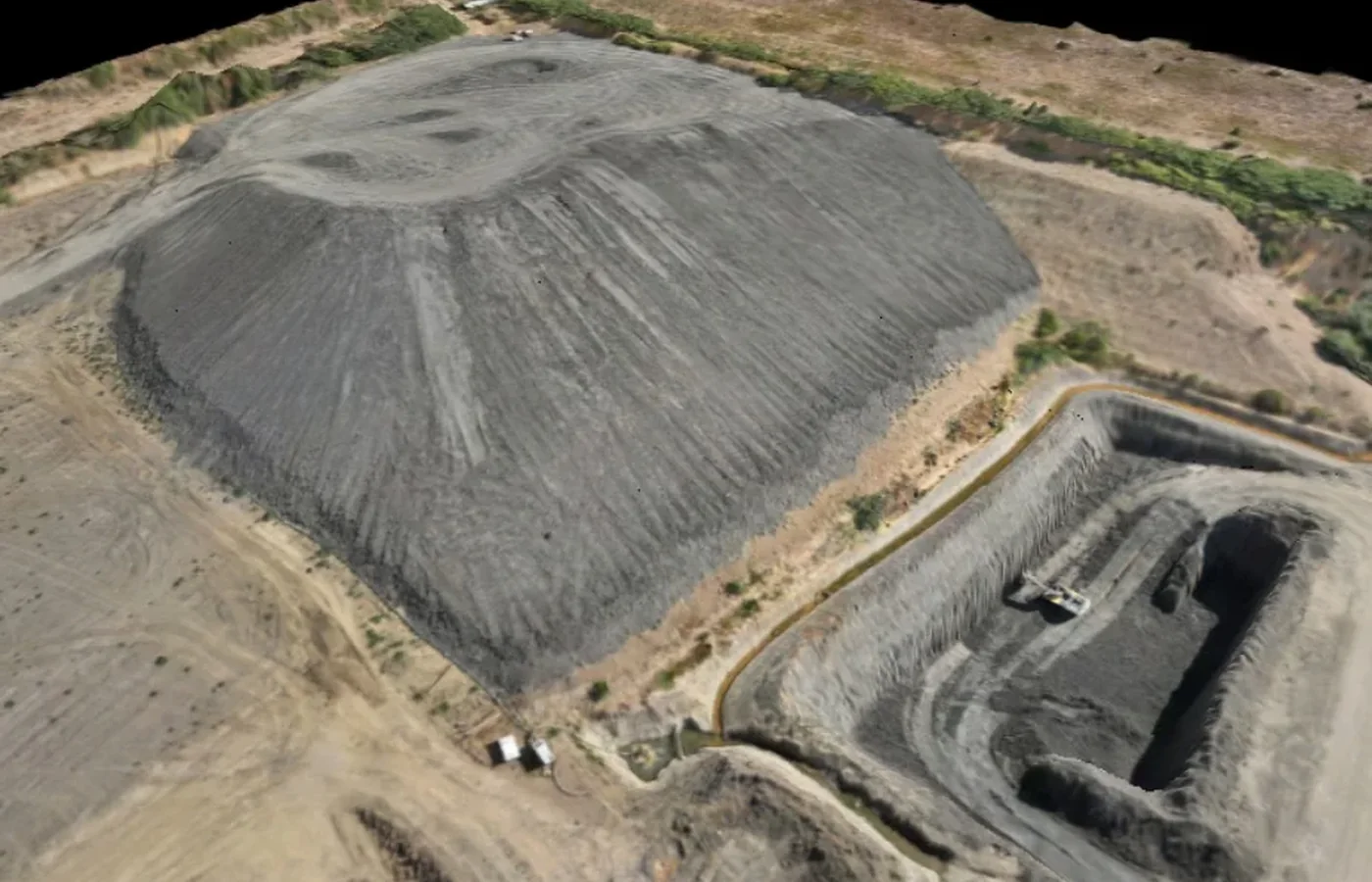
Material management
Quantity reconciliation used alongside stockpile and movement records.
View related service →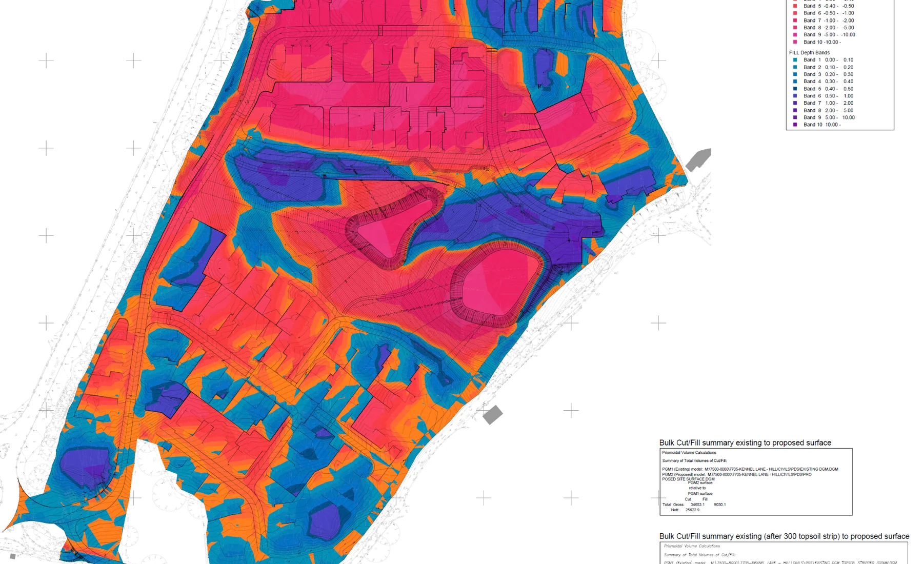
What you receive
How we deliver it
We plan the sequence around the project brief, programme and required deliverables.
Confirm surfaces
Identify the current survey and the design, formation or previous survey surface used for comparison.
Check common basis
Confirm coordinates, levels, extents and revision information.
Survey current condition
Capture the required site surface and relevant boundaries.
Build comparison
Create the 3D surface comparison and calculate the defined quantities.
Review
Check boundaries, exclusions, design revisions and calculation assumptions.
Issue
Provide mapped difference information, quantities and agreed surface/CAD data.
Cut & Fill Surveys FAQ
What surfaces can be compared in a cut and fill survey?
Typical comparisons include existing ground versus design, current ground versus formation, current ground versus finished level, or one survey date versus another. The correct surfaces depend on the construction question being answered.
Can cut and fill be used for progress measurement?
Yes. Controlled surveys taken at defined stages can be compared to quantify earthworks change and progress across the measured area.
Can the comparison be supplied as a 3D surface?
Yes. Where required, the current, reference and/or comparison data can be supplied in compatible CAD or surface formats as part of the agreed deliverables.
Tell us what you need for Cut & Fill Surveys.
Send the site location, drawings, specification or a short description of the work. We’ll review what needs surveying and the project information your team needs back.