
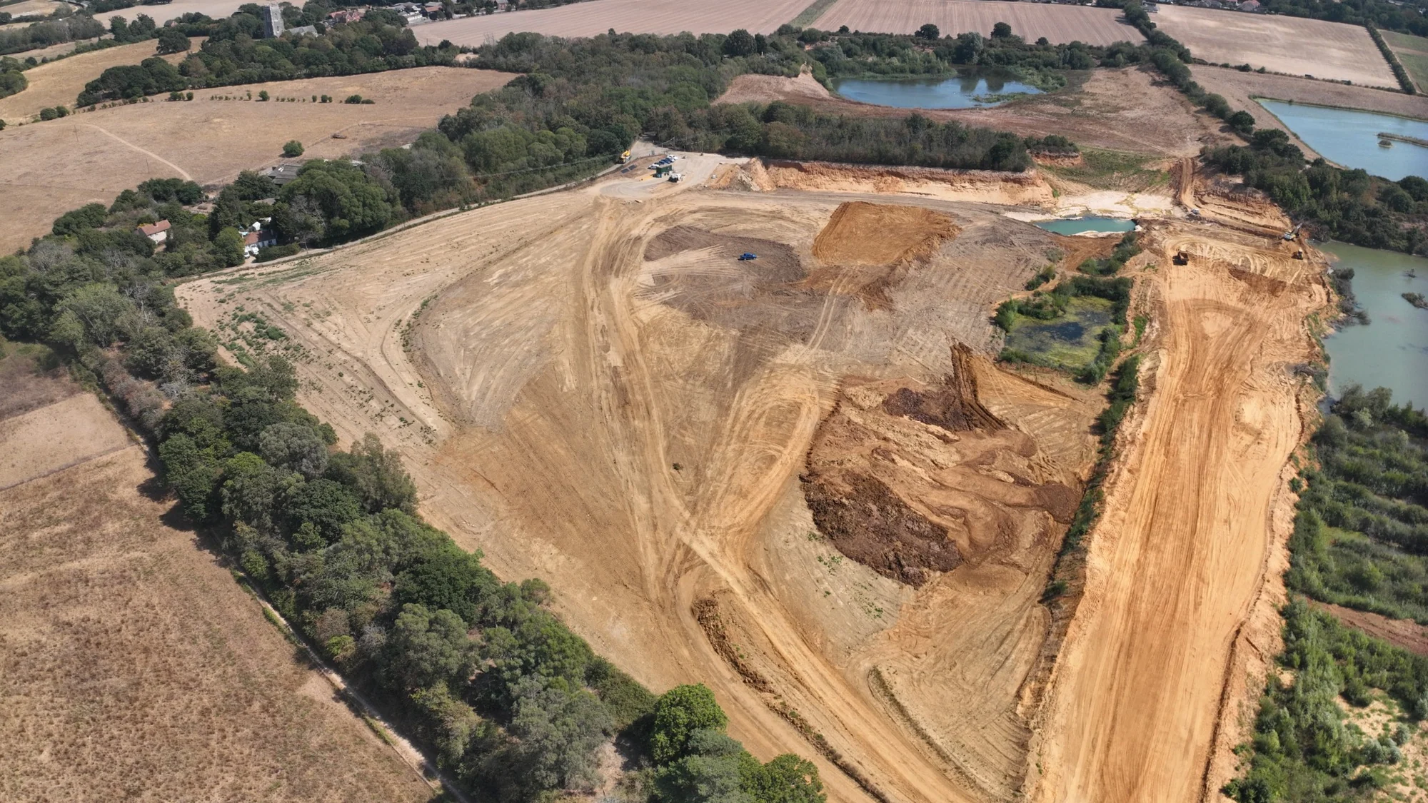
Earthworks & Volume Surveys
We measure the site as the earthworks change and turn the survey into current surfaces, quantities and construction records your team can work from.
Know what is on site at each stage
Earthworks change quickly. We survey the current site condition and give the project team a measured 3D record of the surfaces and quantities at the required construction stage.
From existing-ground surveys and cut/fill analysis to stockpiles, formation records and progress quantities, the survey shows what is actually on site and how it compares with the required project information.
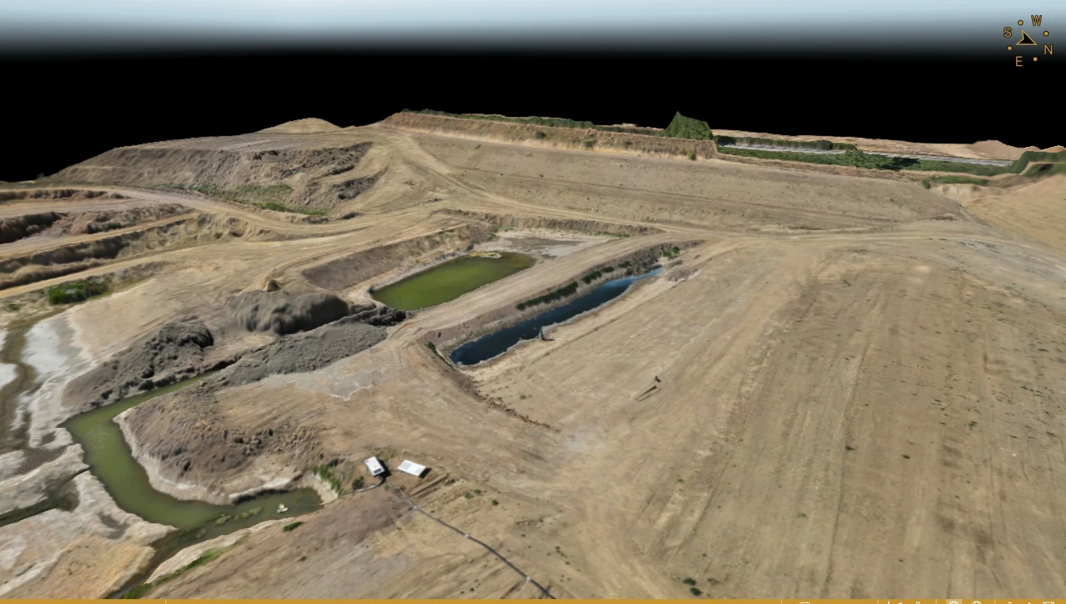
Where this is used
Common applications within construction, earthworks, development and survey workflows.
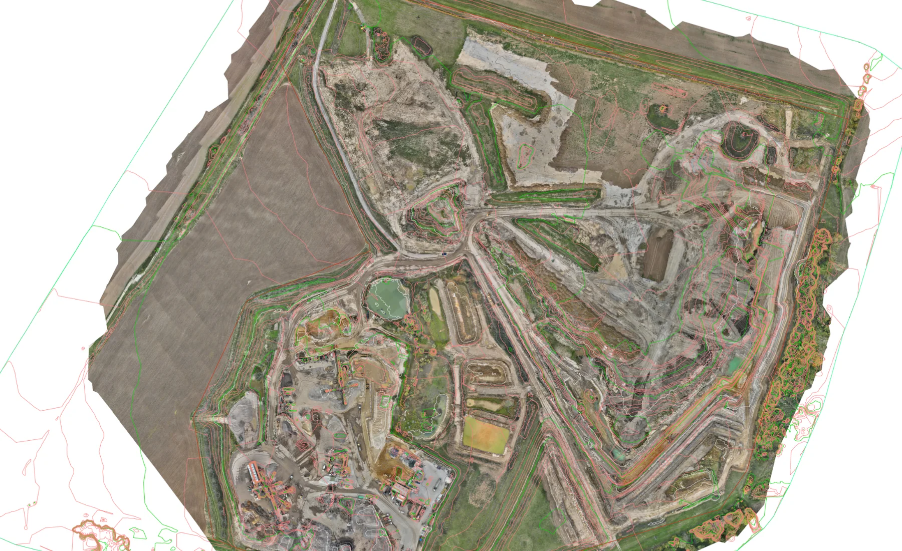
Bulk earthworks
Existing ground, current ground and proposed surface comparison.
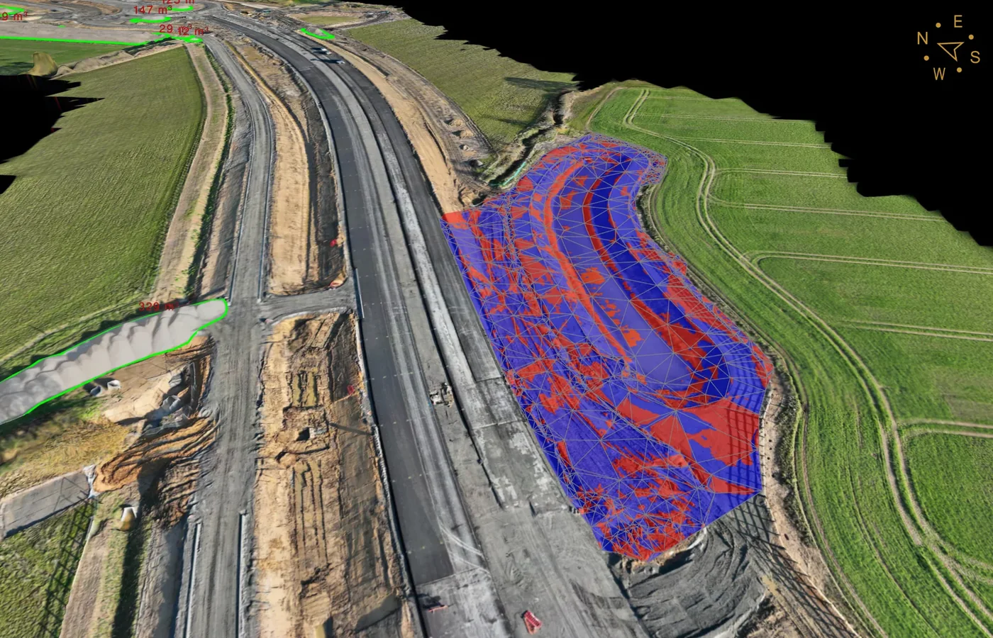
Cut & fill
Mapped surface differences and defined excavation/fill quantities.
View related service →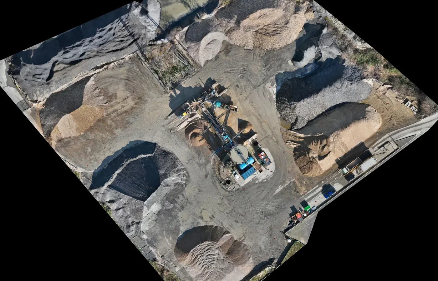
Stockpile volumes
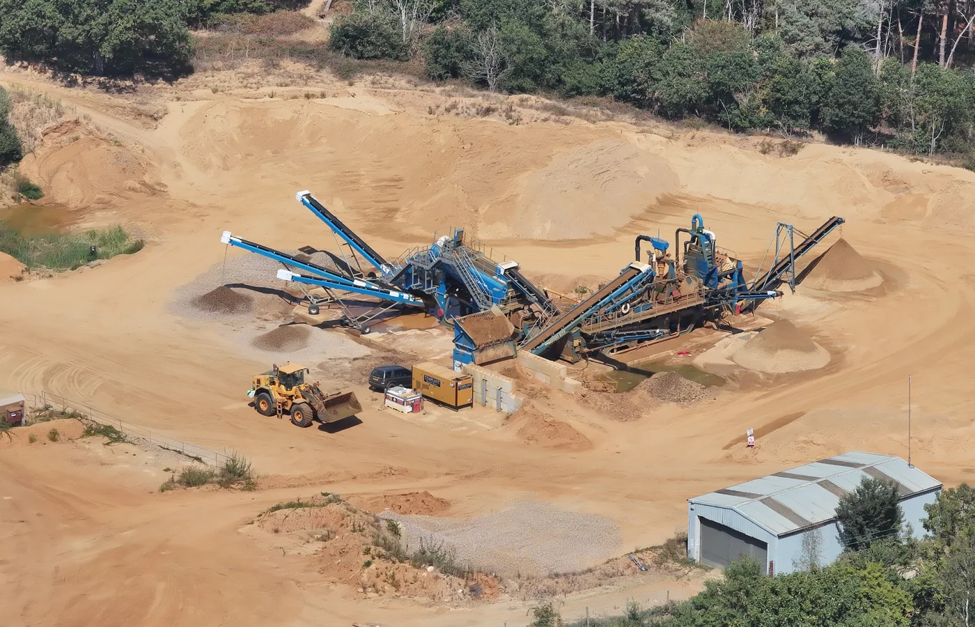
Measure temporary and permanent material holdings.
View related service →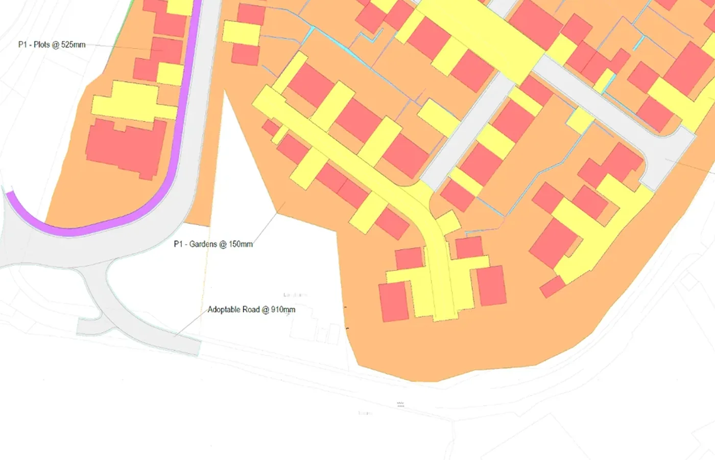
Materials Management Plan support
Survey records for material locations, stockpiles, movements and quantity reconciliation.
View related service →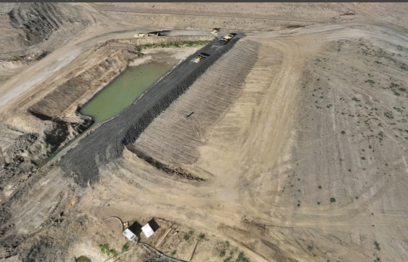
Progress surveys
Repeat surveys through earthworks and construction phases.
View related service →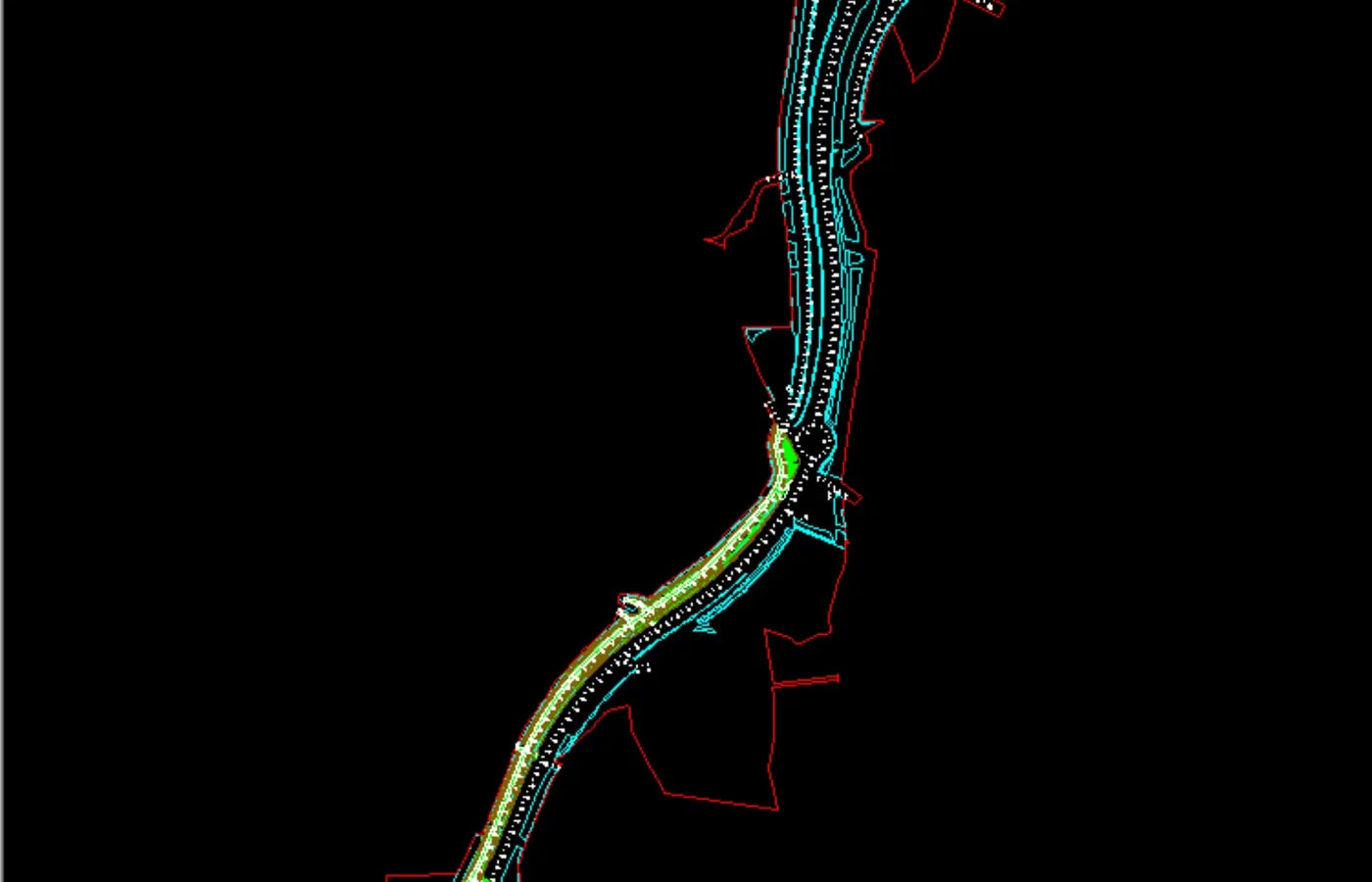
Machine-control models
Prepare approved construction surfaces for compatible GPS machine-control workflows.
View related service →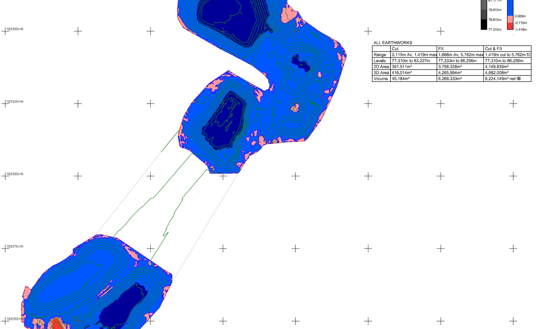
What you receive
How we deliver it
We plan the sequence around the project brief, programme and required deliverables.
Define the earthworks question
Confirm the surface, quantity, phase or material record required.
Review project data
Check design surfaces, boundaries, build-ups, revisions and survey control.
Survey current condition
Capture the required terrain, material or construction layer.
Process surfaces
Build and check the current 3D survey surface.
Calculate / compare
Produce the required quantities, surface differences or phase records.
Issue working data
Deliver quantities, drawings and surface files required by the project team.
Earthworks & Volume Surveys FAQ
What can an earthworks survey measure?
Typical work includes existing and current ground surfaces, cut/fill, stockpile volumes, progress quantities, formation or capping surfaces and other agreed earthworks stages.
Can earthworks surveys support material management?
Yes. Repeat surveys, stockpile inventories, excavation/placement zones and quantity reconciliation can provide spatial and quantitative records for a Materials Management Plan workflow.
Can earthworks surfaces be supplied for machine control?
Where approved design information and receiving-system requirements are available, separate machine-control model creation can prepare the required construction surfaces for compatible GPS-guided plant.
Tell us what you need for Earthworks & Volume Surveys.
Send the site location, drawings, specification or a short description of the work. We’ll review what needs surveying and the project information your team needs back.