
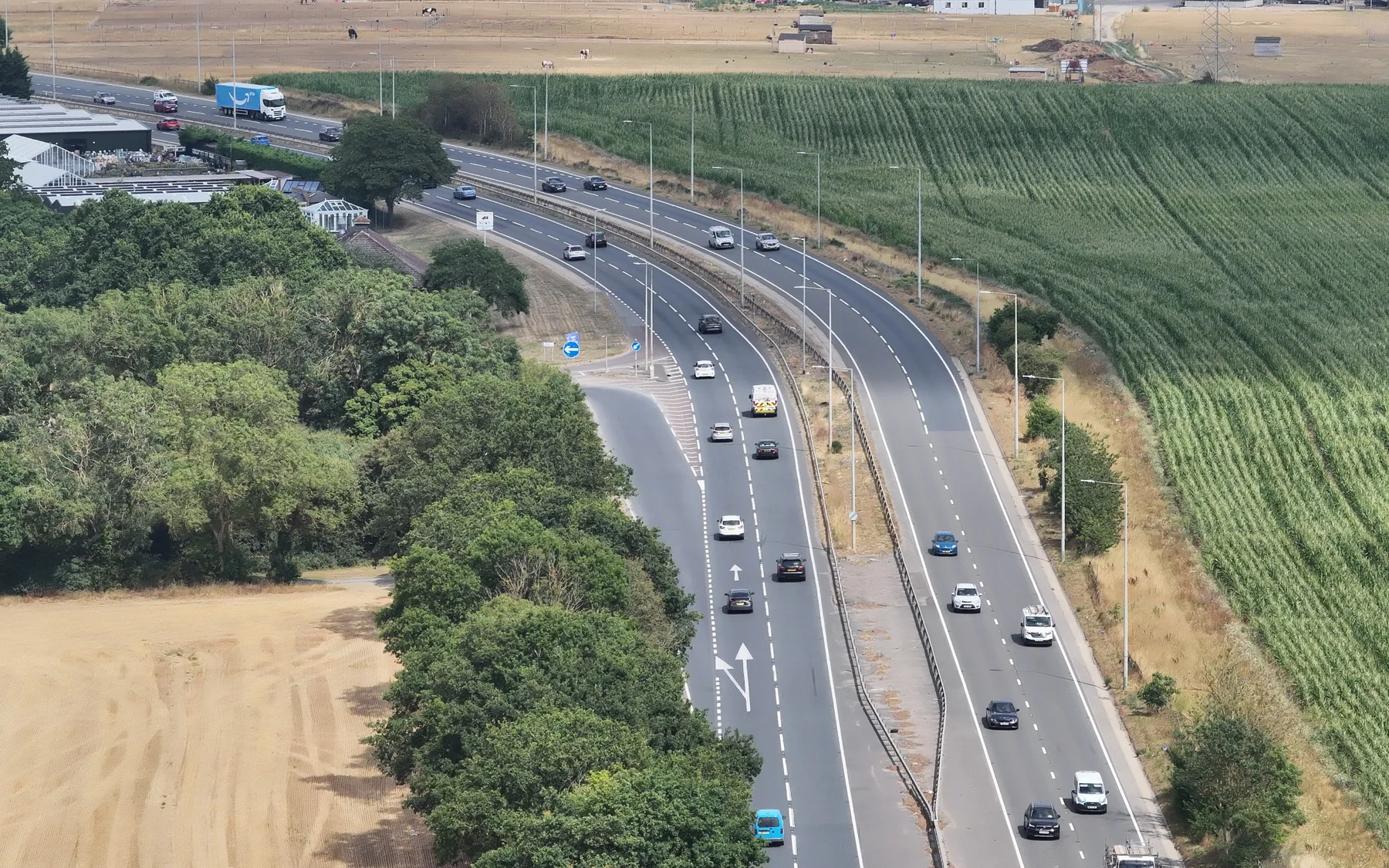
Project sector
Infrastructure & Civils
Survey control and construction data for roads, drainage, corridors and civil works.
Survey control, corridor data, earthworks, setting out and verification for roads and civil engineering works.
Survey support
Infrastructure & Civils projects
Infrastructure work depends on consistent coordinates, levels and geometry across long or complex sites. We support the project with control, topographical data, setting out, earthworks and verification.
Control & alignmentCoordinate framework for linear and civil works.
Roads & drainageTopographical, setting-out and verification data for construction geometry.
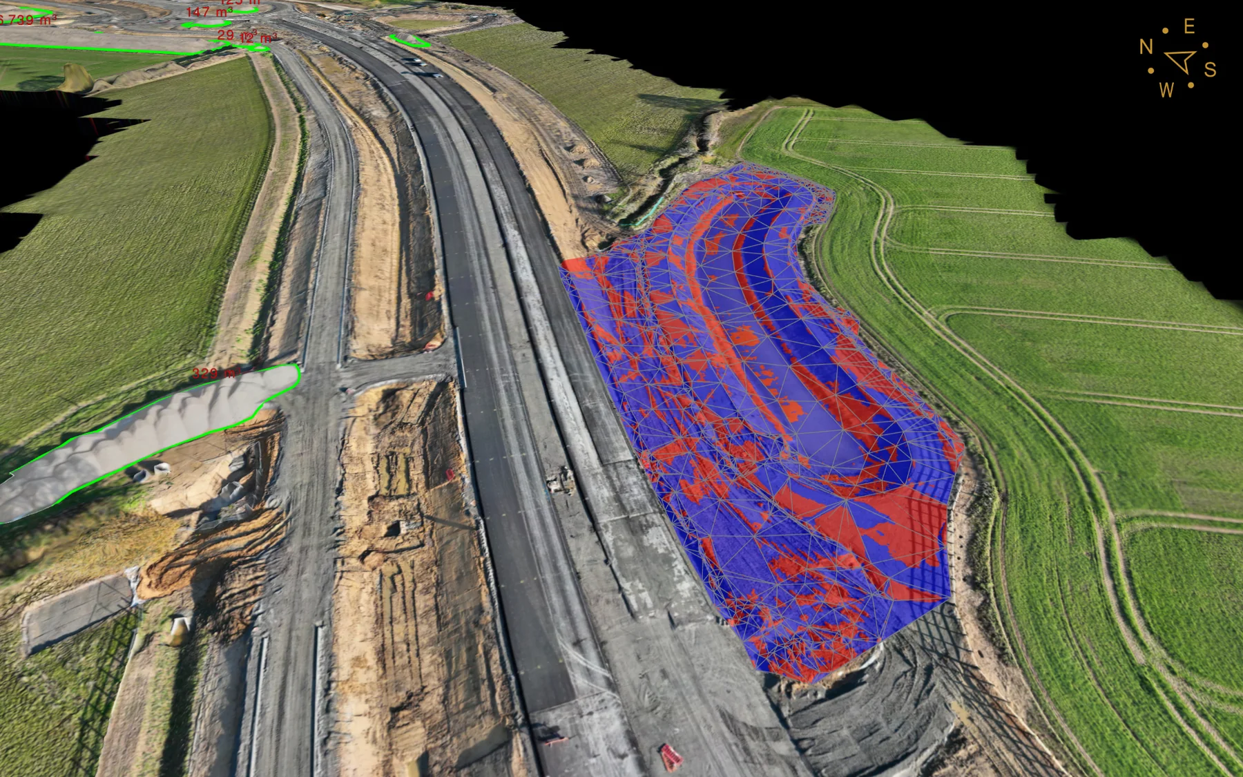
EarthworksCut/fill, formation surfaces and machine-control models.
Services
Relevant survey services
Project enquiry
Discuss your infrastructure & civils survey requirement.
Send the site location, drawings or project brief.